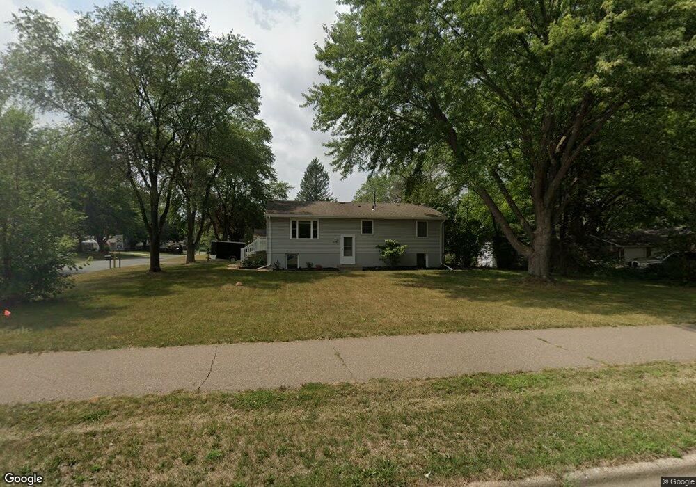
4291 Dodd Rd Saint Paul, MN 55123
Estimated Value: $368,828 - $428,000
About This Home
This home is located at 4291 Dodd Rd, Saint Paul, MN 55123 and is currently estimated at $391,957, approximately $388 per square foot. 4291 Dodd Rd is a home located in Dakota County with nearby schools including Pinewood Elementary School, Dakota Hills Middle School, and Eagan Senior High School.
Ownership History
We collect this data history from publicly available records. To have your information removed, we recommend requesting removal directly through your county’s website.
Purchase Details
Purchase Details
Purchase Details
Purchase Details
Purchase Details
Home Values in the Area
Average Home Value in this Area
Purchase History
We collect this data history from publicly available records. To have your information removed, we recommend requesting removal directly through your county’s website.
| Date | Buyer | Sale Price | Title Company |
|---|---|---|---|
| -- | None Available | ||
| $148,100 | -- | ||
| $148,124 | First Financial Title Agency | ||
| $180,405 | None Available | ||
| $226,000 | -- | ||
| $135,000 | -- |
Tax History
We collect this data history from publicly available records. To have your information removed, we recommend requesting removal directly through your county’s website.
| Year | Tax Paid | Tax Assessment Tax Assessment Total Assessment is a certain percentage of the fair market value that is determined by local assessors to be the total taxable value of land and additions on the property. | Land | Improvement |
|---|---|---|---|---|
| 2025 | $3,582 | $308,200 | $91,200 | $217,000 |
| 2024 | $3,124 | $303,300 | $88,700 | $214,600 |
| 2023 | $3,608 | $287,600 | $89,000 | $198,600 |
| 2022 | $3,442 | $285,400 | $88,700 | $196,700 |
| 2021 | $3,130 | $249,000 | $77,200 | $171,800 |
| 2020 | $2,904 | $239,600 | $73,500 | $166,100 |
| 2019 | $2,454 | $223,700 | $70,000 | $153,700 |
| 2018 | $2,638 | $218,200 | $66,700 | $151,500 |
| 2017 | $2,360 | $206,700 | $63,500 | $143,200 |
| 2016 | $2,160 | $193,400 | $60,500 | $132,900 |
| 2015 | $1,992 | $170,841 | $54,143 | $116,698 |
| 2014 | -- | $159,941 | $51,987 | $107,954 |
| 2013 | -- | $153,728 | $46,855 | $106,873 |
Map
- 699 Calvin Ct
- 4299 Westchester Cir
- 655 Lexie Ct
- 705 Granite Dr
- 798 Sunset Dr
- 4258 Valley Forge Place
- 550 Hawthorne Woods Dr
- 738 N Hay Lake Rd
- 4136 Prairie Ridge Rd
- 876 Curry Trail
- 899 Park Knoll Dr
- 4112 Havenhill Cir
- 841 Sudberry Ln
- 4517 Alicia Dr
- 4525 Alicia Dr
- 913 Oakwood Heights Cir Unit 1
- 725 Havenhill Rd
- 689 Havenhill Rd
- 4640 Dodd Rd
- 4001 Haven Woods Ct
- 740 Hackmore Dr
- 730 Hackmore Dr
- 746 Hackmore Dr
- 707 Calvin Ct
- 703 Calvin Ct
- 720 Hackmore Dr
- 743 Hackmore Dr
- 4302 Stirrup St
- 733 Hackmore Dr
- 4312 Stirrup St
- 753 Hackmore Dr
- 711 Calvin Ct
- 4322 Stirrup St
- 763 Hackmore Dr
- 708 Calvin Ct
- 4283 Dodd Rd
- 704 Calvin Ct
- 4332 Stirrup St
- 746 Lasso Ln
- 700 Calvin Ct
Ask me questions while you tour the home.