4293 E Cliff Rd Port Clinton, OH 43452
Estimated Value: $1,964,593 - $4,209,000
6
Beds
7
Baths
10,373
Sq Ft
$302/Sq Ft
Est. Value
About This Home
This home is located at 4293 E Cliff Rd, Port Clinton, OH 43452 and is currently estimated at $3,137,198, approximately $302 per square foot. 4293 E Cliff Rd is a home located in Ottawa County with nearby schools including Bataan Memorial Primary School, Bataan Memorial Intermediate School, and Port Clinton Middle School.
Ownership History
Date
Name
Owned For
Owner Type
Purchase Details
Closed on
Nov 14, 2024
Sold by
Veronica A Milnark Living Trust and Milnark Veronica A
Bought by
4293 Kokomo Llc
Current Estimated Value
Purchase Details
Closed on
Aug 23, 2006
Sold by
Milnark Veronica A
Bought by
Milnark Veronica A and Veronica A Milnark Living Trust
Purchase Details
Closed on
Nov 2, 1992
Sold by
Scott Margaret E
Bought by
Scott Margaret E
Purchase Details
Closed on
Oct 2, 1992
Sold by
Scott Wilbur J and Scott Margaret
Bought by
Scott Margaret E
Create a Home Valuation Report for This Property
The Home Valuation Report is an in-depth analysis detailing your home's value as well as a comparison with similar homes in the area
Home Values in the Area
Average Home Value in this Area
Purchase History
| Date | Buyer | Sale Price | Title Company |
|---|---|---|---|
| 4293 Kokomo Llc | -- | None Listed On Document | |
| 4293 Kokomo Llc | -- | None Listed On Document | |
| Milnark Veronica A | -- | None Available | |
| Scott Margaret E | $195,000 | -- | |
| Scott Margaret E | -- | -- |
Source: Public Records
Tax History Compared to Growth
Tax History
| Year | Tax Paid | Tax Assessment Tax Assessment Total Assessment is a certain percentage of the fair market value that is determined by local assessors to be the total taxable value of land and additions on the property. | Land | Improvement |
|---|---|---|---|---|
| 2024 | $27,444 | $846,500 | $507,700 | $338,800 |
| 2023 | $27,444 | $547,730 | $298,645 | $249,085 |
| 2022 | $19,511 | $547,712 | $298,645 | $249,067 |
| 2021 | $19,481 | $547,720 | $298,650 | $249,070 |
| 2020 | $17,244 | $466,370 | $224,550 | $241,820 |
| 2019 | $17,071 | $466,370 | $224,550 | $241,820 |
| 2018 | $17,042 | $466,370 | $224,550 | $241,820 |
| 2017 | $16,174 | $436,190 | $190,000 | $246,190 |
| 2016 | $16,213 | $436,190 | $190,000 | $246,190 |
| 2015 | $16,278 | $436,190 | $190,000 | $246,190 |
| 2014 | $15,279 | $418,920 | $172,730 | $246,190 |
| 2013 | $15,325 | $418,920 | $172,730 | $246,190 |
Source: Public Records
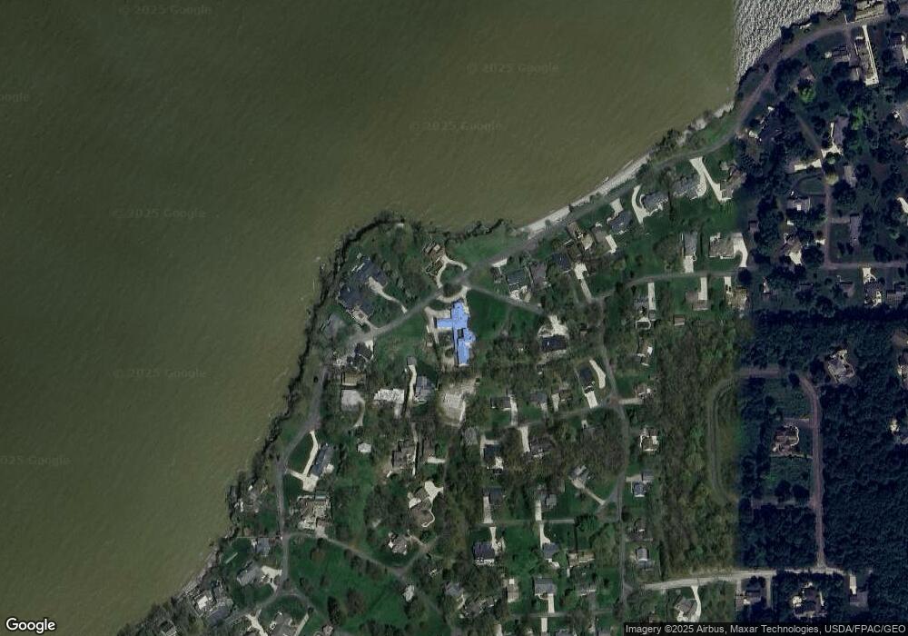
Map
Nearby Homes
- 4376 E Cliff Rd
- 3983 Coachmans Trail
- 4520 E Cliff Rd
- 3778 N Cliff Rd
- 3737 N Karwood Dr
- 4748 E Cliff Rd
- 4204 NW Catawba Rd
- 5076 E Meadow Ln
- 3305 N Stonehouse Dr Unit 7
- 4434 E Harbors Edge Dr Unit 25
- 4520 E Harbors Edge Dr Unit 61
- 4866 Westwinds Dr
- 3999 NE Catawba Rd Unit 29
- 2950 N Bluff Ridge Dr
- 4862 Tradewinds Dr
- 2901 Villa Ct Unit C
- 2855 N Canterbury Cir Unit A
- 2750 Canterbury Cir Unit C
- 3575 NE Catawba Rd Unit 29
- 3575 NE Catawba Rd Unit 5
- 4336 E Terrace Cir
- 4269 E The Valley Rd
- 4289 E The Valley Rd
- 4330 E Cliff Rd
- 4265 E Cliff Rd
- 4300 E Cliff Rd
- 4243 E The Valley Rd
- 4285 E Cliff Rd
- 4347 E The Valley Rd
- 0 E The Valley Rd Unit 20204078
- 0 E The Valley Rd Unit 20171840
- 0 E The Valley Rd Unit 20141112
- 0 E The Valley Rd Unit 220038072
- 0 E The Valley Rd
- 4342 E Cliff Rd
- 4241 E Cliff Rd
- 4221 E Cliff Rd
- 4249 E Cliff Rd
- 4367 E The Valley Rd
- 4354 E Cliff Rd