Estimated Value: $319,000 - $377,000
3
Beds
3
Baths
1,860
Sq Ft
$186/Sq Ft
Est. Value
About This Home
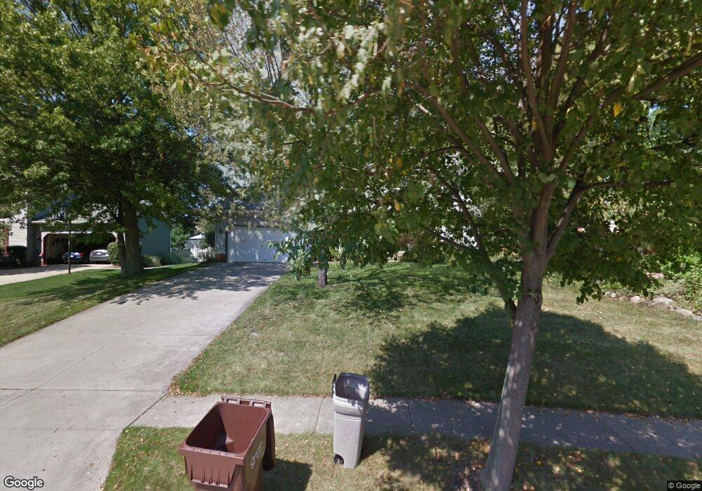
This home is located at 4296 Bunker Ln, Stow, OH 44224 and is currently estimated at $345,457, approximately $185 per square foot. 4296 Bunker Ln is a home located in Summit County with nearby schools including Stow-Munroe Falls High School and Walsh Jesuit High School.
Ownership History
Date
Name
Owned For
Owner Type
Purchase Details
Closed on
Mar 15, 1999
Sold by
Mitchkash George M and Mitchkash Carolyn N
Bought by
Moretti Albert L and Moretti Christina L
Current Estimated Value
Home Financials for this Owner
Home Financials are based on the most recent Mortgage that was taken out on this home.
Original Mortgage
$135,100
Outstanding Balance
$32,087
Interest Rate
6.78%
Estimated Equity
$313,370
Create a Home Valuation Report for This Property
The Home Valuation Report is an in-depth analysis detailing your home's value as well as a comparison with similar homes in the area
Home Values in the Area
Average Home Value in this Area
Purchase History
| Date | Buyer | Sale Price | Title Company |
|---|---|---|---|
| Moretti Albert L | $168,875 | Midland Commerce Group |
Source: Public Records
Mortgage History
| Date | Status | Borrower | Loan Amount |
|---|---|---|---|
| Open | Moretti Albert L | $135,100 |
Source: Public Records
Tax History Compared to Growth
Tax History
| Year | Tax Paid | Tax Assessment Tax Assessment Total Assessment is a certain percentage of the fair market value that is determined by local assessors to be the total taxable value of land and additions on the property. | Land | Improvement |
|---|---|---|---|---|
| 2025 | $5,578 | $95,904 | $16,601 | $79,303 |
| 2024 | $5,401 | $95,904 | $16,601 | $79,303 |
| 2023 | $5,401 | $95,904 | $16,601 | $79,303 |
| 2022 | $4,716 | $73,861 | $12,772 | $61,089 |
| 2021 | $4,222 | $73,861 | $12,772 | $61,089 |
| 2020 | $4,149 | $73,860 | $12,770 | $61,090 |
| 2019 | $3,986 | $66,300 | $12,640 | $53,660 |
| 2018 | $3,921 | $66,300 | $12,640 | $53,660 |
| 2017 | $3,592 | $66,300 | $12,640 | $53,660 |
| 2016 | $3,697 | $58,970 | $12,640 | $46,330 |
| 2015 | $3,592 | $58,970 | $12,640 | $46,330 |
| 2014 | $3,596 | $58,970 | $12,640 | $46,330 |
| 2013 | $3,739 | $61,770 | $12,640 | $49,130 |
Source: Public Records
Map
Nearby Homes
- 2908 Wexford Blvd
- 2831 Saybrooke Blvd
- 2714 Wexford Blvd
- 4444 Hickory Trail
- 4445 Kenneth Trail
- 4556 Fishcreek Rd
- 4638 Dresher Trail
- 3788 Woodbury Oval Unit 60
- 3860 Lake Run Blvd
- 4078 Pardee Rd
- 4155 Burton Dr
- 4131 Burton Dr
- 4910 Independence Cir Unit D
- 4916 Friar Rd Unit B
- 0 Vira Rd
- 76 Wanda Ct
- 3801 Baird Rd
- 2410 Wrens Dr S
- 2260 E Gilwood Dr
- 1302 Carol Dr
- 4286 Bunker Ln
- 2950 Wexford Blvd
- 2940 Wexford Blvd
- 2932 Wexford Blvd
- 4295 Bunker Ln
- 2968 Wexford Blvd
- 2911 Williamsburg Cir
- 4287 Bunker Ln
- 4272 Bunker Ln
- 2924 Wexford Blvd
- 2903 Williamsburg Cir
- 2951 Wexford Blvd
- 2917 Williamsburg Cir
- 4279 Bunker Ln
- 2941 Wexford Blvd
- 2895 Williamsburg Cir
- 4266 Bunker Ln
- 2978 Wexford Blvd
- 2916 Wexford Blvd
- 4271 Bunker Ln