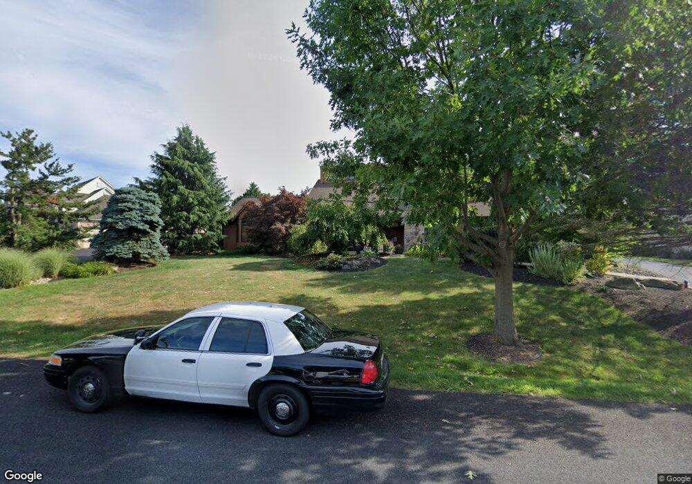
4296 Commonwealth Dr Emmaus, PA 18049
Estimated Value: $606,000 - $745,000
3
Beds
4
Baths
2,835
Sq Ft
$235/Sq Ft
Est. Value
About This Home
This home is located at 4296 Commonwealth Dr, Emmaus, PA 18049 and is currently estimated at $666,068, approximately $234 per square foot. 4296 Commonwealth Dr is a home located in Lehigh County with nearby schools including Macungie Elementary School, Eyer Middle School, and Emmaus High School.
Ownership History
Date
Name
Owned For
Owner Type
Purchase Details
Closed on
May 26, 2000
Sold by
Hutters Gerald R and Hutters Mary H
Bought by
Briglia Jeffrey M and Torsitano Caterina
Current Estimated Value
Purchase Details
Closed on
Apr 16, 1992
Sold by
Brookhaven Development Corp
Bought by
Hutters Gerald R and Hutters Mary H
Purchase Details
Closed on
Dec 31, 1985
Bought by
Brookhaven Development Corp
Create a Home Valuation Report for This Property
The Home Valuation Report is an in-depth analysis detailing your home's value as well as a comparison with similar homes in the area
Home Values in the Area
Average Home Value in this Area
Purchase History
| Date | Buyer | Sale Price | Title Company |
|---|---|---|---|
| Briglia Jeffrey M | $325,000 | -- | |
| Hutters Gerald R | $68,900 | -- | |
| Brookhaven Development Corp | $354,900 | -- |
Source: Public Records
Tax History
| Year | Tax Paid | Tax Assessment Tax Assessment Total Assessment is a certain percentage of the fair market value that is determined by local assessors to be the total taxable value of land and additions on the property. | Land | Improvement |
|---|---|---|---|---|
| 2026 | $11,315 | $429,100 | $52,800 | $376,300 |
| 2025 | $10,955 | $429,100 | $52,800 | $376,300 |
| 2024 | $10,599 | $429,100 | $52,800 | $376,300 |
| 2023 | $10,387 | $429,100 | $52,800 | $376,300 |
| 2022 | $10,141 | $429,100 | $376,300 | $52,800 |
| 2021 | $9,926 | $429,100 | $52,800 | $376,300 |
| 2020 | $9,831 | $429,100 | $52,800 | $376,300 |
| 2019 | $9,664 | $429,100 | $52,800 | $376,300 |
| 2018 | $9,537 | $429,100 | $52,800 | $376,300 |
| 2017 | $9,370 | $429,100 | $52,800 | $376,300 |
| 2016 | -- | $429,100 | $52,800 | $376,300 |
| 2015 | -- | $429,100 | $52,800 | $376,300 |
| 2014 | -- | $429,100 | $52,800 | $376,300 |
Source: Public Records
Map
Nearby Homes
- 3045 Sheffield Dr
- 3540 Lenape Ln
- 3513 Lenape Ln
- 3508 Lenape Ln
- 4861 Waterfall Dr
- 3519 Daylily Dr
- 3465 Treeview Dr
- 4476 Lenni Cir
- 3710 Samantha Ln
- 3710 Samantha Ln Unit 16
- 3740 Samantha Ln
- 3722 Samantha Ln Unit Lot 12
- 3722 Samantha Ln
- 3641 Samantha Ln Unit 49
- 3643 Samantha Ln Unit 50
- 1320 Little Lehigh Dr S
- 2560 Gracie Lone
- 4109 Eveningstar Rd
- 2475 Houghton Lean Unit 2
- 5288 Brocton Ct
- 4280 Commonwealth Dr
- 4312 Commonwealth Dr
- 4535 Canterbury Dr
- 4549 Canterbury Dr
- 4276 Commonwealth Dr
- 4332 Commonwealth Dr
- 4487 Lexington Cir
- 4497 Lexington Cir
- 4519 Canterbury Dr
- 4477 Commonwealth Dr
- 4567 Canterbury Dr
- 4519 Commonwealth Dr
- 4467 Newton Cir
- 4350 Commonwealth Dr
- 4505 Canterbury Dr
- 4396 Lexington Cir
- 4415 Lexington Cir
- 4542 Canterbury Dr
- 3502 Coventry Dr Unit 11
- 3526 Coventry Dr Unit 13
Your Personal Tour Guide
Ask me questions while you tour the home.