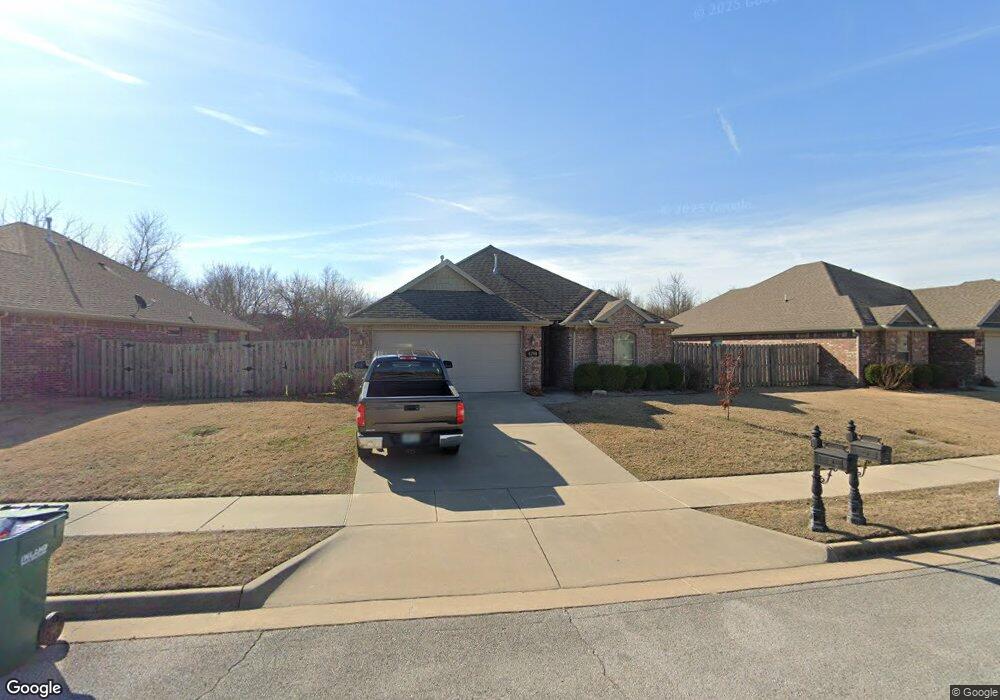
4298 W Langmead Dr Rogers, AR 72758
Estimated Value: $320,000 - $369,000
--
Bed
--
Bath
1,377
Sq Ft
$245/Sq Ft
Est. Value
About This Home
This home is located at 4298 W Langmead Dr, Rogers, AR 72758 and is currently estimated at $337,510, approximately $245 per square foot. 4298 W Langmead Dr is a home with nearby schools including Fairview Elementary School, Elmwood Middle School, and Rogers High School.
Ownership History
Date
Name
Owned For
Owner Type
Purchase Details
Closed on
Jan 15, 2020
Sold by
Garduno Moises and Garduno Eliza Kate
Bought by
Humphrey Friend Dakota Joe and Humphrey Katie Lauren
Current Estimated Value
Home Financials for this Owner
Home Financials are based on the most recent Mortgage that was taken out on this home.
Original Mortgage
$83,050
Outstanding Balance
$56,794
Interest Rate
3.6%
Mortgage Type
Commercial
Estimated Equity
$280,716
Purchase Details
Closed on
Jun 10, 2016
Sold by
Keri L Morris Living Trust and Morris Keri L
Bought by
Morris Blue Sky Holdings Llc
Purchase Details
Closed on
Apr 22, 2016
Sold by
Hmds Llc
Bought by
Morris Keri L and Morris Wesley G
Create a Home Valuation Report for This Property
The Home Valuation Report is an in-depth analysis detailing your home's value as well as a comparison with similar homes in the area
Home Values in the Area
Average Home Value in this Area
Purchase History
| Date | Buyer | Sale Price | Title Company |
|---|---|---|---|
| Humphrey Friend Dakota Joe | $104,000 | Pci Advance Title | |
| Morris Blue Sky Holdings Llc | -- | -- | |
| Morris Keri L | $146,297 | Lenders Title Company |
Source: Public Records
Mortgage History
| Date | Status | Borrower | Loan Amount |
|---|---|---|---|
| Open | Humphrey Friend Dakota Joe | $83,050 |
Source: Public Records
Tax History Compared to Growth
Tax History
| Year | Tax Paid | Tax Assessment Tax Assessment Total Assessment is a certain percentage of the fair market value that is determined by local assessors to be the total taxable value of land and additions on the property. | Land | Improvement |
|---|---|---|---|---|
| 2025 | $2,481 | $58,681 | $14,000 | $44,681 |
| 2024 | $2,219 | $58,681 | $14,000 | $44,681 |
| 2023 | $2,017 | $39,260 | $13,000 | $26,260 |
| 2022 | $1,936 | $39,260 | $13,000 | $26,260 |
| 2021 | $1,770 | $39,260 | $13,000 | $26,260 |
| 2020 | $1,611 | $29,340 | $2,400 | $26,940 |
| 2019 | $1,611 | $29,340 | $2,400 | $26,940 |
| 2018 | $1,611 | $29,340 | $2,400 | $26,940 |
| 2017 | $125 | $29,340 | $2,400 | $26,940 |
| 2016 | $125 | $2,400 | $2,400 | $0 |
| 2015 | $159 | $3,000 | $3,000 | $0 |
| 2014 | $159 | $3,000 | $3,000 | $0 |
Source: Public Records
Map
Nearby Homes
- Single Family Portfo Group 2
- Single Family Portfo Group 1
- 4109 W Candlewood Place
- 6099 S Pack Ln
- 6098 S Pack Ln
- 6401 S 42nd St
- 4116 W Erin Dr
- 4112 W Erin Dr
- 4107 W Murfield Dr
- 4110 W Erin Dr
- 4105 W Murfield Dr
- 4114 W Erin Dr
- 4108 W Erin Dr
- 6114 S 40th Place
- 4587 W Garrett Rd
- 0 W Garrett Rd Unit 1321383
- TBD S Pack Ln
- 6400 S 46th Blvd
- 4420 W Collins Cir
- 4417 W Collins Cir
- 4296 W Langmead Dr
- 4300 W Langmead Dr
- 4302 W Langmead Dr
- 4301 W Langmead Dr
- 6303 S 43rd St
- 4304 W Langmead Dr
- 4303 W Langmead Dr
- 6300 S 43rd St
- 6301 S 43rd St
- 4302 Baltimore Dr
- 4305 Langmead Dr
- 4305 W Langmead Dr
- 4304 Baltimore Dr
- 6207 S 43rd St
- 4307 Langmead Dr
- 4308 Langmead Dr
- 4306 W Baltimore Dr
- 6205 S 43rd St
- 4309 Langmead Dr
- 4309 W Langmead Dr