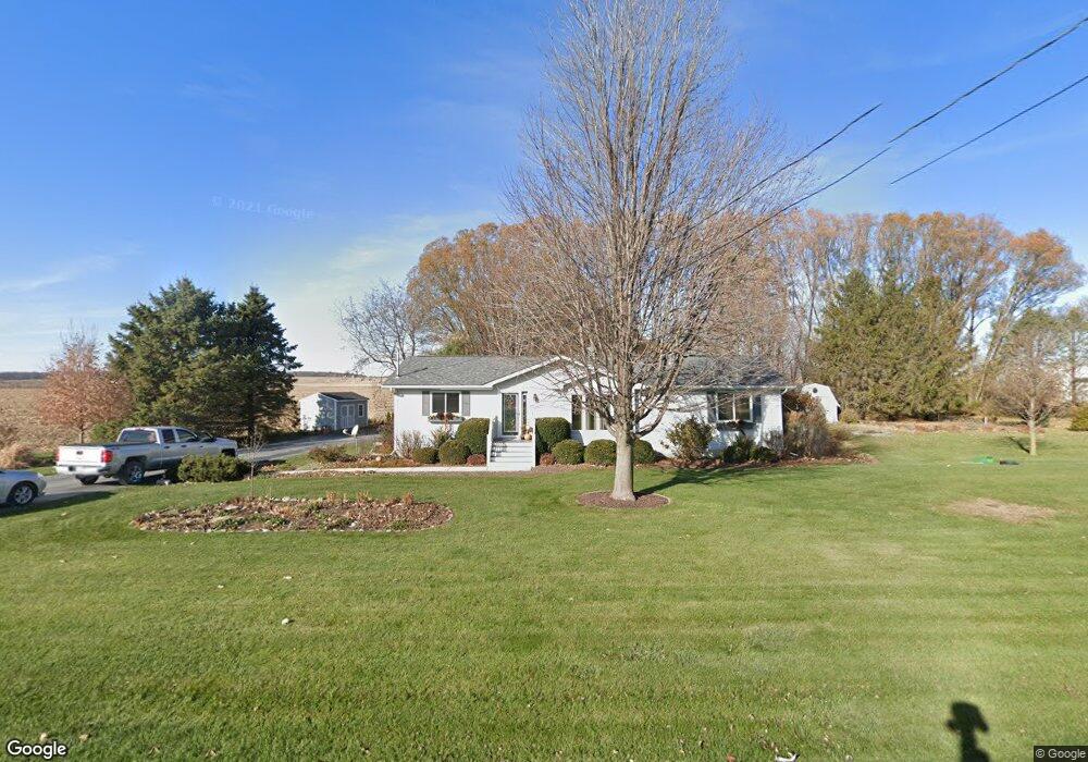
42W224 Seavey Rd Sugar Grove, IL 60554
Estimated Value: $328,000 - $450,000
--
Bed
--
Bath
--
Sq Ft
1
Acres
About This Home
This home is located at 42W224 Seavey Rd, Sugar Grove, IL 60554 and is currently estimated at $389,358. 42W224 Seavey Rd is a home located in Kane County with nearby schools including Kaneland John Shields Elementary School, Harter Middle School, and Kaneland Senior High School.
Ownership History
Date
Name
Owned For
Owner Type
Purchase Details
Closed on
Sep 30, 2002
Sold by
Lederman Cynthia A and Lederman Anthony R
Bought by
Lederman Anthony R and Lederman Cynthia A
Current Estimated Value
Home Financials for this Owner
Home Financials are based on the most recent Mortgage that was taken out on this home.
Original Mortgage
$121,700
Interest Rate
6.1%
Purchase Details
Closed on
Feb 5, 1999
Sold by
Roman Judith A and Roman Peter
Bought by
Lederman Cynthia A and Lederman Anthony R
Create a Home Valuation Report for This Property
The Home Valuation Report is an in-depth analysis detailing your home's value as well as a comparison with similar homes in the area
Home Values in the Area
Average Home Value in this Area
Purchase History
| Date | Buyer | Sale Price | Title Company |
|---|---|---|---|
| Lederman Anthony R | -- | Chicago Title Insurance Co | |
| Lederman Cynthia A | -- | -- |
Source: Public Records
Mortgage History
| Date | Status | Borrower | Loan Amount |
|---|---|---|---|
| Closed | Lederman Anthony R | $121,700 |
Source: Public Records
Tax History Compared to Growth
Tax History
| Year | Tax Paid | Tax Assessment Tax Assessment Total Assessment is a certain percentage of the fair market value that is determined by local assessors to be the total taxable value of land and additions on the property. | Land | Improvement |
|---|---|---|---|---|
| 2024 | $7,061 | $96,014 | $17,090 | $78,924 |
| 2023 | $6,791 | $86,655 | $15,424 | $71,231 |
| 2022 | $5,985 | $73,175 | $14,156 | $59,019 |
| 2021 | $5,785 | $70,037 | $13,549 | $56,488 |
| 2020 | $5,683 | $68,395 | $13,231 | $55,164 |
| 2019 | $5,692 | $67,391 | $13,037 | $54,354 |
| 2018 | $5,198 | $60,917 | $13,037 | $47,880 |
| 2017 | $5,203 | $60,225 | $12,889 | $47,336 |
| 2016 | $6,596 | $72,728 | $20,369 | $52,359 |
| 2015 | -- | $70,713 | $19,574 | $51,139 |
| 2014 | -- | $57,151 | $14,009 | $43,142 |
| 2013 | -- | $57,151 | $14,009 | $43,142 |
Source: Public Records
Map
Nearby Homes
- 391 Capitol Dr
- 124 W Park Ave Unit D
- 199 Vale Ave Unit 1
- 193 W Park Ave Unit A
- 206 Brompton Ln Unit A
- 208 Belle Vue Ct Unit A
- 226 W Park Ave Unit A
- 174 Brompton Ln Unit A
- 230 St James Pkwy Unit A
- 5S655 Bliss Rd
- 42W490 Kedeka Rd
- 261 Hampton Rd Unit 1
- 209 Regency Blvd Unit 1
- 11 Hardwick Ct
- 191 Meadows Dr
- 6 Saddlewood Ct
- 209 Somerset Dr Unit 1
- 8 Hillcrest Dr
- 123 Terry Dr
- 126 S Sugar Grove Pkwy
- 330 Division Dr
- 331 Division Dr
- 300 Division Dr
- 67 Westbourne Ave Unit 1
- 63 Westbourne Ave Unit 1
- 71 Westbourne Ave Unit 1
- 335 Sutton Ct Unit 1
- 1 Goldenrod Dr
- 341 Sutton Ct
- 73 Westbourne Ave
- 347 Sutton Ct
- 412 Bliss Rd
- 329 Sutton Ct Unit 1
- 79 Westbourne Ave
- 355 Sutton Ct Unit 1
- 420 Bliss Rd
- 83 Westbourne Ave
- 323 Sutton Ct Unit 1
- 74 Westbourne Ave Unit 1
- 95 Sutton Ave