43 Advent Cove Rd Meredith, NH 03253
Estimated Value: $2,776,000 - $4,893,000
4
Beds
3
Baths
1,853
Sq Ft
$1,952/Sq Ft
Est. Value
About This Home
This home is located at 43 Advent Cove Rd, Meredith, NH 03253 and is currently estimated at $3,616,900, approximately $1,951 per square foot. 43 Advent Cove Rd is a home located in Belknap County with nearby schools including Inter-Lakes Elementary School, Sandwich Central School, and Inter-Lakes Middle High School.
Ownership History
Date
Name
Owned For
Owner Type
Purchase Details
Closed on
Dec 9, 2004
Sold by
Brassard Leon P and Brassard Jeannette A
Bought by
Moore Robert F and Moore Margaret F
Current Estimated Value
Home Financials for this Owner
Home Financials are based on the most recent Mortgage that was taken out on this home.
Original Mortgage
$900,000
Outstanding Balance
$435,297
Interest Rate
5.63%
Mortgage Type
Purchase Money Mortgage
Estimated Equity
$3,181,603
Create a Home Valuation Report for This Property
The Home Valuation Report is an in-depth analysis detailing your home's value as well as a comparison with similar homes in the area
Home Values in the Area
Average Home Value in this Area
Purchase History
| Date | Buyer | Sale Price | Title Company |
|---|---|---|---|
| Moore Robert F | $1,875,000 | -- |
Source: Public Records
Mortgage History
| Date | Status | Borrower | Loan Amount |
|---|---|---|---|
| Open | Moore Robert F | $250,000 | |
| Open | Moore Robert F | $900,000 |
Source: Public Records
Tax History
| Year | Tax Paid | Tax Assessment Tax Assessment Total Assessment is a certain percentage of the fair market value that is determined by local assessors to be the total taxable value of land and additions on the property. | Land | Improvement |
|---|---|---|---|---|
| 2024 | $34,647 | $3,376,900 | $2,879,700 | $497,200 |
| 2023 | $33,398 | $3,376,900 | $2,879,700 | $497,200 |
| 2022 | $26,243 | $1,878,500 | $1,492,000 | $386,500 |
| 2021 | $25,109 | $1,869,600 | $1,492,000 | $377,600 |
| 2020 | $26,212 | $1,869,600 | $1,492,000 | $377,600 |
| 2019 | $28,136 | $1,770,700 | $1,427,000 | $343,700 |
| 2018 | $27,658 | $1,770,700 | $1,427,000 | $343,700 |
| 2016 | $24,885 | $1,596,200 | $1,283,900 | $312,300 |
| 2015 | $24,619 | $1,619,700 | $1,283,900 | $335,800 |
| 2014 | $24,020 | $1,619,700 | $1,283,900 | $335,800 |
| 2013 | $23,340 | $1,619,700 | $1,283,900 | $335,800 |
Source: Public Records
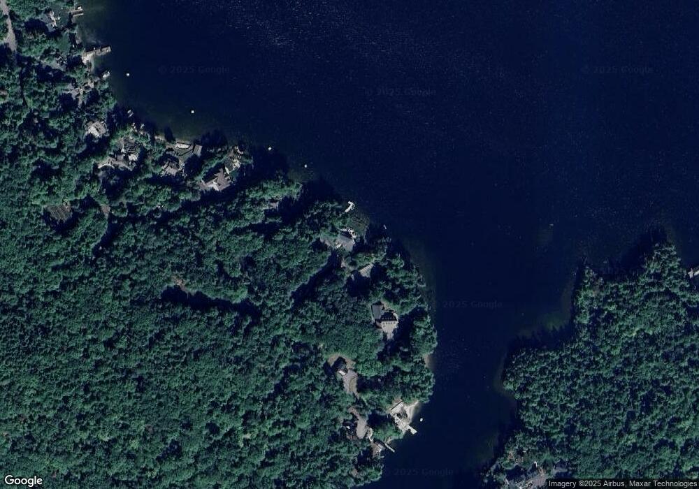
Map
Nearby Homes
- 56 Patrician Shores Cir
- 22 Tiger Trail
- 30 Leopards Leap
- 18 Lovejoy Ln
- 39 Lake Country Rd
- 53 Oak Knoll Rd
- Lot 21 Cummings Cove Rd
- 8 Oak Knoll Rd
- 11 Birch Ledge Rd
- 11 Quimby Rd
- 320 Redding Ln
- 61 Wallace Point Rd
- 21 Barnard Ridge Rd
- 4 Cummings Cove Rd
- 43 Happy Homes Rd
- 105 Nh Route 25
- 20 True Rd Unit 52
- 20 True Rd Unit 101
- 20 True Rd Unit 22
- 20 True Rd Unit 73
- 47 Advent Cove Rd
- 41 Advent Cove Rd
- 39 Advent Cove Rd
- 144 Veasey Shore Rd
- 140 Veasey Shore Rd
- 138 Veasey Shore Rd
- 52 Little Rd
- 136 Veasey Shore Rd
- 54 Little Rd
- 48 Little Rd
- 132 Veasey Shore Rd
- 56 Little Rd
- 44 Little Rd
- 128 Veasey Shore Rd
- 26 Little Rd
- 24 Little Rd
- 124 Veasey Shore Rd
- 28 Little Rd
- 120 Veasey Shore Rd
- 59 Little Rd
Your Personal Tour Guide
Ask me questions while you tour the home.