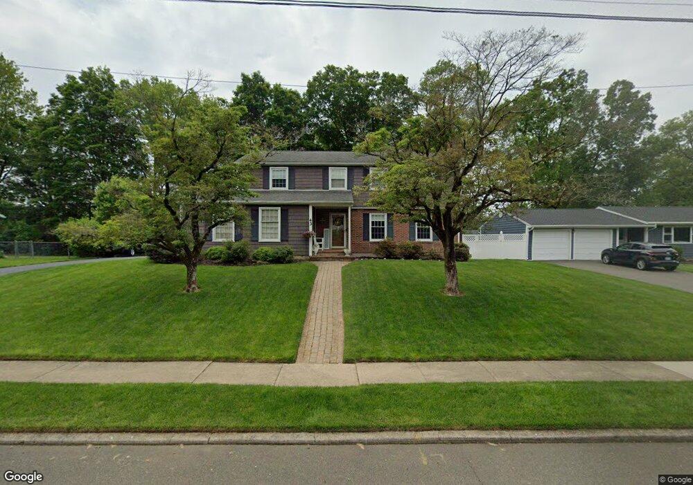
43 Ardmore Rd Milford, CT 06461
Post Road North NeighborhoodEstimated Value: $617,423 - $724,000
4
Beds
4
Baths
2,043
Sq Ft
$323/Sq Ft
Est. Value
About This Home
This home is located at 43 Ardmore Rd, Milford, CT 06461 and is currently estimated at $660,856, approximately $323 per square foot. 43 Ardmore Rd is a home located in New Haven County with nearby schools including Orange Avenue School, Harborside Middle School, and Joseph A. Foran High School.
Ownership History
Date
Name
Owned For
Owner Type
Purchase Details
Closed on
Oct 12, 1999
Sold by
Curtin George E and Curtin Catherine M
Bought by
Whitaker James R and Whitaker Jamie G
Current Estimated Value
Home Financials for this Owner
Home Financials are based on the most recent Mortgage that was taken out on this home.
Original Mortgage
$180,000
Outstanding Balance
$54,267
Interest Rate
7.81%
Estimated Equity
$606,589
Create a Home Valuation Report for This Property
The Home Valuation Report is an in-depth analysis detailing your home's value as well as a comparison with similar homes in the area
Home Values in the Area
Average Home Value in this Area
Purchase History
| Date | Buyer | Sale Price | Title Company |
|---|---|---|---|
| Whitaker James R | $240,000 | -- | |
| Whitaker James R | $240,000 | -- |
Source: Public Records
Mortgage History
| Date | Status | Borrower | Loan Amount |
|---|---|---|---|
| Open | Whitaker James R | $180,000 | |
| Closed | Whitaker James R | $180,000 |
Source: Public Records
Tax History Compared to Growth
Tax History
| Year | Tax Paid | Tax Assessment Tax Assessment Total Assessment is a certain percentage of the fair market value that is determined by local assessors to be the total taxable value of land and additions on the property. | Land | Improvement |
|---|---|---|---|---|
| 2025 | $9,080 | $307,270 | $118,090 | $189,180 |
| 2024 | $8,954 | $307,270 | $118,090 | $189,180 |
| 2023 | $8,349 | $307,270 | $118,090 | $189,180 |
| 2022 | $8,189 | $307,270 | $118,090 | $189,180 |
| 2021 | $7,126 | $257,730 | $78,540 | $179,190 |
| 2020 | $7,134 | $257,730 | $78,540 | $179,190 |
| 2019 | $7,142 | $257,730 | $78,540 | $179,190 |
| 2018 | $7,149 | $257,730 | $78,540 | $179,190 |
| 2017 | $7,162 | $257,730 | $78,540 | $179,190 |
| 2016 | $6,588 | $236,630 | $78,540 | $158,090 |
| 2015 | $6,597 | $236,630 | $78,540 | $158,090 |
| 2014 | $6,441 | $236,630 | $78,540 | $158,090 |
Source: Public Records
Map
Nearby Homes
- 245 Woodruff Rd
- 420 Narrow Ln
- 351 Woodruff Rd
- 99 Green Meadow Rd
- 36 Merwin Ave
- 5 Amherst Dr
- 341 Foxwood Ln
- 334 Foxwood Ln Unit 334
- 450 Swanson Crescent Unit 450
- 142 Foxwood Close
- 321 Old Tavern Rd
- 30 Lakeview Dr
- 110 Quarry Rd
- 523 Treat Ln
- 325 Pine Tree Dr
- 24 Ella
- 364 Orange Ave
- 118 McQuillan Dr
- 150 Forest Rd Unit 40
- 583 Anderson Ave