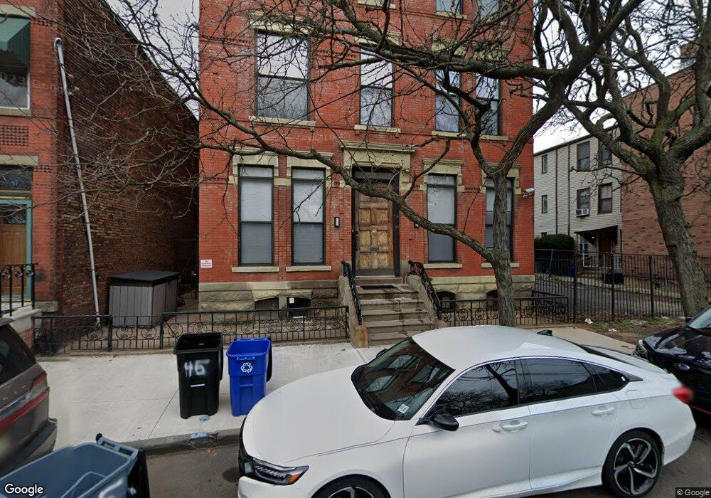
43 Burnet St Unit 45 Newark, NJ 07102
University Heights NeighborhoodEstimated Value: $378,000 - $822,000
--
Bed
--
Bath
3,876
Sq Ft
$148/Sq Ft
Est. Value
About This Home
This home is located at 43 Burnet St Unit 45, Newark, NJ 07102 and is currently estimated at $573,701, approximately $148 per square foot. 43 Burnet St Unit 45 is a home located in Essex County with nearby schools including Sir Isaac Newton Elementary School, Lafayette Street Elementary School, and Cleveland Elementary School.
Ownership History
Date
Name
Owned For
Owner Type
Purchase Details
Closed on
Sep 19, 2003
Sold by
Trenkwalder Heinz
Bought by
Chi James and Song Henry
Current Estimated Value
Home Financials for this Owner
Home Financials are based on the most recent Mortgage that was taken out on this home.
Original Mortgage
$284,900
Interest Rate
5.81%
Purchase Details
Closed on
Nov 21, 1996
Sold by
Federal Home Loan Mortgage Corporation
Bought by
Trenkwalder Heinz
Purchase Details
Closed on
Sep 21, 1989
Sold by
Dietrich Dietrich H and Dietrich A
Bought by
Foster Jacqueline S
Create a Home Valuation Report for This Property
The Home Valuation Report is an in-depth analysis detailing your home's value as well as a comparison with similar homes in the area
Home Values in the Area
Average Home Value in this Area
Purchase History
| Date | Buyer | Sale Price | Title Company |
|---|---|---|---|
| Chi James | $299,950 | -- | |
| Trenkwalder Heinz | $65,000 | -- | |
| Foster Jacqueline S | $158,000 | -- |
Source: Public Records
Mortgage History
| Date | Status | Borrower | Loan Amount |
|---|---|---|---|
| Previous Owner | Chi James | $284,900 |
Source: Public Records
Tax History Compared to Growth
Tax History
| Year | Tax Paid | Tax Assessment Tax Assessment Total Assessment is a certain percentage of the fair market value that is determined by local assessors to be the total taxable value of land and additions on the property. | Land | Improvement |
|---|---|---|---|---|
| 2025 | $4,660 | $125,000 | $40,400 | $84,600 |
| 2024 | $4,660 | $125,000 | $40,400 | $84,600 |
| 2022 | $4,670 | $125,000 | $40,400 | $84,600 |
| 2021 | $4,668 | $125,000 | $40,400 | $84,600 |
| 2020 | $4,750 | $125,000 | $40,400 | $84,600 |
| 2019 | $8,248 | $219,300 | $40,400 | $178,900 |
| 2018 | $8,099 | $219,300 | $40,400 | $178,900 |
| 2017 | $7,807 | $219,300 | $40,400 | $178,900 |
| 2016 | $7,544 | $219,300 | $40,400 | $178,900 |
| 2015 | $7,257 | $219,300 | $40,400 | $178,900 |
| 2014 | $6,800 | $219,300 | $40,400 | $178,900 |
Source: Public Records
Map
Nearby Homes
- 19 Norfolk St
- 200 Dey St Unit 240
- 200 Dey St Unit 260
- 200 Dey St Unit 266
- 43 Crane St
- 201 Dey St Unit C123
- 91 Callahan Ct
- 49B Wickliffe St
- 67 Broadway
- 310 Passaic Ave Unit 308
- 56 Marrow St
- 78-80 Broad St
- 56 Yancy Dr
- 36 1/2 Hecker St
- 2 Hecker St
- 28 Vaughan Dr
- 42 Vaughan Dr
- 42 Vaughan Dr Unit 42
- 105 Grant Ave
- 83 1/2 Garside St