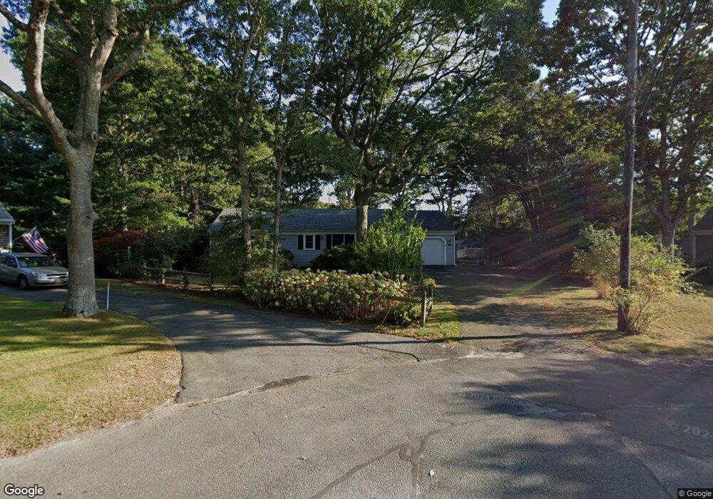
43 Cats Paw Way Centerville, MA 02632
Centerville NeighborhoodEstimated Value: $629,000 - $752,000
3
Beds
2
Baths
1,501
Sq Ft
$455/Sq Ft
Est. Value
About This Home
This home is located at 43 Cats Paw Way, Centerville, MA 02632 and is currently estimated at $682,801, approximately $454 per square foot. 43 Cats Paw Way is a home located in Barnstable County with nearby schools including Centerville Elementary School, Barnstable United Elementary School, and Barnstable Intermediate School.
Ownership History
Date
Name
Owned For
Owner Type
Purchase Details
Closed on
Mar 16, 2001
Sold by
Int Betty S Thornton
Bought by
Manganiello Frances
Current Estimated Value
Home Financials for this Owner
Home Financials are based on the most recent Mortgage that was taken out on this home.
Original Mortgage
$100,000
Outstanding Balance
$36,386
Interest Rate
7.01%
Mortgage Type
Purchase Money Mortgage
Estimated Equity
$646,415
Purchase Details
Closed on
Dec 1, 1992
Sold by
Bonda George F and Bonda Ann M
Bought by
Thornton William J
Purchase Details
Closed on
Nov 16, 1992
Sold by
Surniak Walter F and Surniak Carol A
Bought by
Bonda George F and Bonda Ann M
Create a Home Valuation Report for This Property
The Home Valuation Report is an in-depth analysis detailing your home's value as well as a comparison with similar homes in the area
Home Values in the Area
Average Home Value in this Area
Purchase History
We collect this data history from publicly available records. To have your information removed, we recommend requesting removal directly through your county’s website.
| Date | Buyer | Sale Price | Title Company |
|---|---|---|---|
| Manganiello Frances | $233,500 | -- | |
| Thornton William J | $154,500 | -- | |
| Bonda George F | $162,000 | -- |
Source: Public Records
Mortgage History
We collect this data history from publicly available records. To have your information removed, we recommend requesting removal directly through your county’s website.
| Date | Status | Borrower | Loan Amount |
|---|---|---|---|
| Open | Bonda George F | $100,000 |
Source: Public Records
Tax History
| Year | Tax Paid | Tax Assessment Tax Assessment Total Assessment is a certain percentage of the fair market value that is determined by local assessors to be the total taxable value of land and additions on the property. | Land | Improvement |
|---|---|---|---|---|
| 2025 | $4,657 | $575,700 | $154,500 | $421,200 |
| 2024 | $4,464 | $571,600 | $154,500 | $417,100 |
| 2023 | $4,195 | $503,000 | $140,500 | $362,500 |
| 2022 | $4,012 | $416,200 | $104,100 | $312,100 |
| 2021 | $3,771 | $359,500 | $104,100 | $255,400 |
| 2020 | $3,886 | $354,600 | $104,100 | $250,500 |
| 2019 | $3,678 | $326,100 | $104,100 | $222,000 |
| 2018 | $3,192 | $284,500 | $109,500 | $175,000 |
| 2017 | $2,968 | $275,800 | $109,500 | $166,300 |
| 2016 | $3,017 | $276,800 | $110,500 | $166,300 |
| 2015 | $2,895 | $266,800 | $108,700 | $158,100 |
Source: Public Records
Map
Nearby Homes
- 38 White Oak Trail
- 52 Windlass Ln
- 253 Gleneagle Dr
- 172 Skunknet Rd
- 900 Old Stage Rd
- 73 Tern Ln
- 66 Tern Ln
- 1115 Shootflying Hill Rd
- 37 Ansel Howland Rd
- 209 Patriot Way
- 315 Prince Hinckley Rd
- 117 Elijah Childs Ln
- 136 Sheaffer Rd
- 146 Hillside Dr
- 493 Prince Hinckley Rd
- 159 Willow Run Dr
- 1309 Shootflying Hill Rd
- 1309 Shootflying Hill Rd
- 169 Cedric Rd
- 9 Halyard Way
- 40 Cats Paw Way
- 740 Old Stage Rd
- 41 Cats Paw Way
- 720 Old Stage Rd
- 30 Cats Paw Way
- 8 Thoreau Dr
- 35 Cats Paw Way
- 9 Thoreau Dr
- 763 Old Stage Rd
- 735 Old Stage Rd
- 85 White Oak Trail
- 73 White Oak Trail
- 19 Cats Paw Way
- 22 Cats Paw Way
- 97 White Oak Trail
- 7 Rolling Hitch Rd
- 773 Old Stage Rd
- 725 Old Stage Rd
- 26 Thoreau Dr
- 11 Rolling Hitch Rd
Your Personal Tour Guide
Ask me questions while you tour the home.