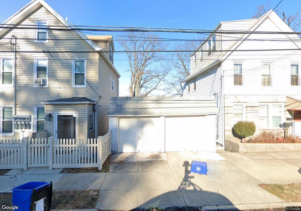
43 Clarendon Ave Unit 2 Yonkers, NY 10701
Bryn Mawr Park NeighborhoodEstimated Value: $835,000 - $1,066,000
3
Beds
2
Baths
1,050
Sq Ft
$908/Sq Ft
Est. Value
About This Home
This home is located at 43 Clarendon Ave Unit 2, Yonkers, NY 10701 and is currently estimated at $953,000, approximately $907 per square foot. 43 Clarendon Ave Unit 2 is a home located in Westchester County with nearby schools including Sacred Heart Grade School, Andalusia School, and Sacred Heart High School.
Ownership History
Date
Name
Owned For
Owner Type
Purchase Details
Closed on
Nov 30, 2017
Sold by
Girsch Bybell Ann Marie and Estate Of Lawrence Joseph Girs
Bought by
Rayko Anna
Current Estimated Value
Home Financials for this Owner
Home Financials are based on the most recent Mortgage that was taken out on this home.
Original Mortgage
$289,656
Outstanding Balance
$246,704
Interest Rate
4.4%
Mortgage Type
FHA
Estimated Equity
$706,296
Create a Home Valuation Report for This Property
The Home Valuation Report is an in-depth analysis detailing your home's value as well as a comparison with similar homes in the area
Home Values in the Area
Average Home Value in this Area
Purchase History
| Date | Buyer | Sale Price | Title Company |
|---|---|---|---|
| Rayko Anna | $295,000 | Sutton Land Title Agency |
Source: Public Records
Mortgage History
| Date | Status | Borrower | Loan Amount |
|---|---|---|---|
| Open | Rayko Anna | $289,656 |
Source: Public Records
Tax History Compared to Growth
Tax History
| Year | Tax Paid | Tax Assessment Tax Assessment Total Assessment is a certain percentage of the fair market value that is determined by local assessors to be the total taxable value of land and additions on the property. | Land | Improvement |
|---|---|---|---|---|
| 2024 | $1,439 | $6,600 | $2,000 | $4,600 |
| 2023 | $1,442 | $6,600 | $2,000 | $4,600 |
| 2022 | $1,423 | $6,600 | $2,000 | $4,600 |
| 2021 | $5,667 | $6,600 | $2,000 | $4,600 |
| 2020 | $5,667 | $6,600 | $2,000 | $4,600 |
| 2019 | $6,546 | $6,600 | $2,000 | $4,600 |
| 2018 | $3,817 | $6,600 | $2,000 | $4,600 |
| 2017 | $0 | $6,600 | $2,000 | $4,600 |
| 2016 | $3,338 | $6,600 | $2,000 | $4,600 |
| 2015 | -- | $6,600 | $2,000 | $4,600 |
| 2014 | -- | $6,600 | $2,000 | $4,600 |
| 2013 | -- | $6,600 | $2,000 | $4,600 |
Source: Public Records
Map
Nearby Homes
- 34 Lockwood Ave
- 53 Lockwood Ave
- 62 Fortfield Ave
- 82 Burhans Ave
- 1 Lowell St
- 116 Gavin St
- 64 Woodycrest Ave
- 261 Edwards Place
- 127 -133 Frederic St
- 175 Frederic St
- 55 Ramsey Ave
- 166 Lockwood Ave
- 331 Sommerville Place
- 372 Sommerville Place
- 147 Orchard St
- 11 aka 15 Bobolink Rd
- 136 Buckingham Rd
- 41 Portland Place
- 54 Albemarle Place
- 82 Morningside Ave
- 43 Clarendon Ave
- 43 Clarendon Ave Unit 1
- 41 Clarendon Ave
- 47 Clarendon Ave
- 49 Clarendon Ave
- 35 Clarendon Ave
- 42 Clarendon Ave
- 44 Clarendon Ave
- 40 Clarendon Ave Unit A
- 40 Clarendon Ave Unit 1
- 40 Clarendon Ave
- 40 Clarendon Ave
- 48 Clarendon Ave
- 30 Lockwood Ave
- 40 Fero St
- 20 Fero St
- 52 Clarendon Ave
- 31 Clarendon Ave
- 24 Lockwood Ave
- 34 Fero St