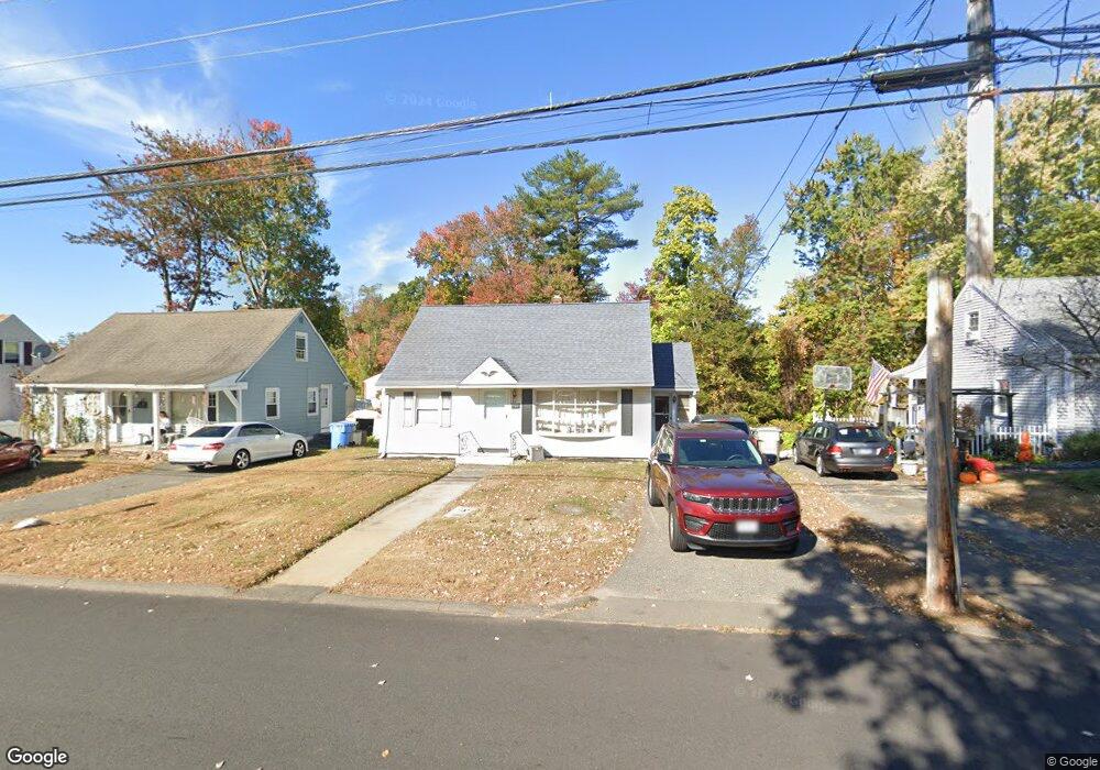
43 Collins Rd Bristol, CT 06010
North Bristol NeighborhoodEstimated Value: $266,000 - $305,000
3
Beds
2
Baths
1,044
Sq Ft
$271/Sq Ft
Est. Value
About This Home
This home is located at 43 Collins Rd, Bristol, CT 06010 and is currently estimated at $283,074, approximately $271 per square foot. 43 Collins Rd is a home located in Hartford County with nearby schools including Edgewood School, Northeast Middle School, and Bristol Eastern High School.
Ownership History
Date
Name
Owned For
Owner Type
Purchase Details
Closed on
Oct 28, 1996
Sold by
Labadia Ereole J and Labadia Anthony
Bought by
Coe Ronald V and Moore Lawwanza O
Current Estimated Value
Home Financials for this Owner
Home Financials are based on the most recent Mortgage that was taken out on this home.
Original Mortgage
$77,850
Interest Rate
8.22%
Mortgage Type
Purchase Money Mortgage
Purchase Details
Closed on
Feb 24, 1993
Sold by
Labadia Salvatore
Bought by
Labadia Anthony and Labadia Ercole J
Create a Home Valuation Report for This Property
The Home Valuation Report is an in-depth analysis detailing your home's value as well as a comparison with similar homes in the area
Home Values in the Area
Average Home Value in this Area
Purchase History
| Date | Buyer | Sale Price | Title Company |
|---|---|---|---|
| Coe Ronald V | $78,000 | -- | |
| Labadia Anthony | $26,000 | -- |
Source: Public Records
Mortgage History
| Date | Status | Borrower | Loan Amount |
|---|---|---|---|
| Open | Labadia Anthony | $88,400 | |
| Closed | Labadia Anthony | $125,060 | |
| Closed | Labadia Anthony | $68,850 | |
| Closed | Labadia Anthony | $77,850 |
Source: Public Records
Tax History
| Year | Tax Paid | Tax Assessment Tax Assessment Total Assessment is a certain percentage of the fair market value that is determined by local assessors to be the total taxable value of land and additions on the property. | Land | Improvement |
|---|---|---|---|---|
| 2025 | $4,068 | $120,540 | $32,900 | $87,640 |
| 2024 | $3,839 | $120,540 | $32,900 | $87,640 |
| 2023 | $3,658 | $120,540 | $32,900 | $87,640 |
| 2022 | $3,409 | $88,900 | $24,920 | $63,980 |
| 2021 | $3,409 | $88,900 | $24,920 | $63,980 |
| 2020 | $3,409 | $88,900 | $24,920 | $63,980 |
| 2019 | $3,383 | $88,900 | $24,920 | $63,980 |
| 2018 | $3,279 | $88,900 | $24,920 | $63,980 |
| 2017 | $3,390 | $94,080 | $35,630 | $58,450 |
| 2016 | $3,390 | $94,080 | $35,630 | $58,450 |
| 2015 | $3,256 | $94,080 | $35,630 | $58,450 |
| 2014 | $3,256 | $94,080 | $35,630 | $58,450 |
Source: Public Records
Map
Nearby Homes
- 941 Farmington Ave
- 81 Lancaster Rd
- 20 Westchester Dr
- 10 Pine Ct
- 55 Beths Ave Unit 77
- 3 Sandra St
- 79 Beths Ave Unit 100
- 66 Beths Ave Unit 15
- 64 Fanway Ave
- 30 Adeline Ave
- 97 Jacqueline Dr
- 46 Vance Rd
- 1325 Farmington Ave Unit 52
- 35 Jasmine St
- 135 Jerome Ave
- 63 Jerome Ave
- 179 Mark St
- 475 Mix St
- 175 Moody St
- 206 Burton St
- 37 Collins Rd
- 49 Collins Rd
- 31 Collins Rd
- 46 Collins Rd
- 57 Collins Rd
- 38 Collins Rd
- 52 Collins Rd
- 56 Collins Rd
- 34 Collins Rd
- 65 Collins Rd
- 25 Collins Rd
- 62 Collins Rd
- 71 Collins Rd
- 68 Collins Rd
- 35 Boardman St
- 21 Boardman St
- 923 Farmington Ave
- 923 Farmington Ave Unit 8
- 931 Farmington Ave
- 27 Boardman St
Your Personal Tour Guide
Ask me questions while you tour the home.