Estimated Value: $240,867 - $478,000
--
Bed
--
Bath
1,652
Sq Ft
$192/Sq Ft
Est. Value
About This Home
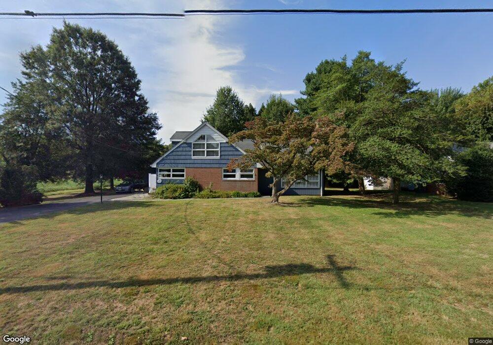
This home is located at 43 Country Club Rd, Salem, NJ 08079 and is currently estimated at $317,467, approximately $192 per square foot. 43 Country Club Rd is a home located in Salem County with nearby schools including Elsinboro Township School.
Ownership History
Date
Name
Owned For
Owner Type
Purchase Details
Closed on
Oct 1, 2024
Sold by
Coleman William C
Bought by
Vantonder Lodie H and Vantonder Van Tonder
Current Estimated Value
Home Financials for this Owner
Home Financials are based on the most recent Mortgage that was taken out on this home.
Original Mortgage
$192,000
Outstanding Balance
$187,554
Interest Rate
6.46%
Mortgage Type
New Conventional
Estimated Equity
$129,913
Purchase Details
Closed on
Nov 30, 1999
Sold by
Bumsted Henry D C and Bumsted Ruth E
Bought by
Coleman William and Coleman Charlotte
Home Financials for this Owner
Home Financials are based on the most recent Mortgage that was taken out on this home.
Original Mortgage
$108,000
Interest Rate
7.86%
Mortgage Type
Purchase Money Mortgage
Create a Home Valuation Report for This Property
The Home Valuation Report is an in-depth analysis detailing your home's value as well as a comparison with similar homes in the area
Home Values in the Area
Average Home Value in this Area
Purchase History
| Date | Buyer | Sale Price | Title Company |
|---|---|---|---|
| Vantonder Lodie H | $240,000 | West Jersey Title | |
| Vantonder Lodie H | $240,000 | West Jersey Title | |
| Coleman William | $135,000 | Salem Oak Title Agency Inc |
Source: Public Records
Mortgage History
| Date | Status | Borrower | Loan Amount |
|---|---|---|---|
| Open | Vantonder Lodie H | $192,000 | |
| Closed | Vantonder Lodie H | $192,000 | |
| Previous Owner | Coleman William | $108,000 |
Source: Public Records
Tax History Compared to Growth
Tax History
| Year | Tax Paid | Tax Assessment Tax Assessment Total Assessment is a certain percentage of the fair market value that is determined by local assessors to be the total taxable value of land and additions on the property. | Land | Improvement |
|---|---|---|---|---|
| 2025 | $6,730 | $215,700 | $53,400 | $162,300 |
| 2024 | $6,128 | $215,700 | $53,400 | $162,300 |
| 2023 | $6,128 | $215,700 | $53,400 | $162,300 |
| 2022 | $5,969 | $215,700 | $53,400 | $162,300 |
| 2021 | $5,751 | $215,700 | $53,400 | $162,300 |
| 2020 | $5,837 | $215,700 | $53,400 | $162,300 |
| 2019 | $5,751 | $215,700 | $53,400 | $162,300 |
| 2018 | $5,611 | $215,700 | $53,400 | $162,300 |
| 2017 | $5,492 | $215,700 | $53,400 | $162,300 |
| 2016 | $5,283 | $215,700 | $53,400 | $162,300 |
| 2015 | $4,974 | $215,700 | $53,400 | $162,300 |
| 2014 | $4,804 | $215,700 | $53,400 | $162,300 |
Source: Public Records
Map
Nearby Homes
- 44 Delaware Ave
- 17 S Tilbury Rd
- 9 S Tilbury Rd
- 6 Friendship Dr
- 12 Phillip Dr
- 68 Amwellbury Rd
- 148 Amwellbury Rd
- 10 Delaware Dr
- 197 Pine Ave
- 243 Walnut Street Rd
- 188 Cook Ave
- 181 Crossland Ave
- 115 Chestnut St
- 39 Oak St
- 77 W Broadway
- 99 Chestnut St
- 89 W Broadway
- 91 W Broadway
- 43 45 Chestnut St
- 141 Wesley St
- 45 Country Club Rd
- 49 Country Club Rd
- 68 Country Club Rd
- 19 Country Club Rd
- 137 Locust Ave
- 141 Locust Ave
- 143 Locust Ave
- 133 Locust Ave
- 145 Locust Ave
- 129 Locust Ave
- 149 Locust Ave
- 127 Locust Ave
- 151 Locust Ave
- 123 Locust Ave
- 153 Locust Ave
- 155 Locust Ave
- 119 Locust Ave
- 159 Locust Ave
- 115 Locust Ave
- 10 Bender Dr