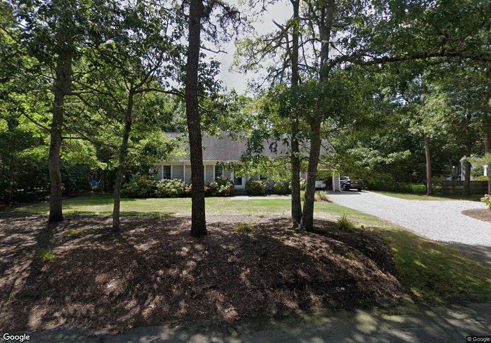
43 Deer Meadow Ln Brewster, MA 2631
Estimated Value: $964,000 - $1,302,000
5
Beds
4
Baths
2,899
Sq Ft
$401/Sq Ft
Est. Value
About This Home
This home is located at 43 Deer Meadow Ln, Brewster, MA 2631 and is currently estimated at $1,163,390, approximately $401 per square foot. 43 Deer Meadow Ln is a home located in Barnstable County with nearby schools including Stony Brook Elementary School, Eddy Elementary School, and Nauset Regional Middle School.
Ownership History
Date
Name
Owned For
Owner Type
Purchase Details
Closed on
Nov 16, 2012
Sold by
Brown John G and Brown Cynthia V
Bought by
Collum Scott F
Current Estimated Value
Purchase Details
Closed on
Sep 29, 2006
Sold by
Hayes G Howard
Bought by
Brown Cynthia and Brown John G
Purchase Details
Closed on
Aug 1, 2006
Sold by
Hayes G Howard
Bought by
Hayes Elizabeth C and Howard Hayes G
Purchase Details
Closed on
Jun 30, 2006
Sold by
Bachan Patricia A
Bought by
Hayes G Howard
Create a Home Valuation Report for This Property
The Home Valuation Report is an in-depth analysis detailing your home's value as well as a comparison with similar homes in the area
Home Values in the Area
Average Home Value in this Area
Purchase History
| Date | Buyer | Sale Price | Title Company |
|---|---|---|---|
| Collum Scott F | $125,000 | -- | |
| Brown Cynthia | $229,000 | -- | |
| Hayes Elizabeth C | -- | -- | |
| Hayes G Howard | $310,000 | -- |
Source: Public Records
Tax History
| Year | Tax Paid | Tax Assessment Tax Assessment Total Assessment is a certain percentage of the fair market value that is determined by local assessors to be the total taxable value of land and additions on the property. | Land | Improvement |
|---|---|---|---|---|
| 2025 | $7,025 | $1,021,100 | $245,900 | $775,200 |
| 2024 | $6,704 | $984,400 | $252,100 | $732,300 |
| 2023 | $6,206 | $887,800 | $225,100 | $662,700 |
| 2022 | $5,877 | $748,600 | $187,500 | $561,100 |
| 2021 | $5,650 | $658,500 | $163,000 | $495,500 |
| 2020 | $5,396 | $626,000 | $150,000 | $476,000 |
| 2019 | $5,165 | $602,000 | $138,000 | $464,000 |
| 2018 | $4,869 | $589,500 | $138,000 | $451,500 |
| 2017 | $4,700 | $560,200 | $138,000 | $422,200 |
| 2016 | $4,412 | $523,400 | $123,000 | $400,400 |
| 2015 | $2,296 | $278,000 | $120,600 | $157,400 |
Source: Public Records
Map
Nearby Homes
- 39 Deer Meadow Ln
- 63 Deer Meadow Ln
- 74 Trout Pond Ln
- 107 Pine Bluff Rd
- 122 Pine Bluff Rd
- 114 Pine Bluff Rd
- 132 Pine Bluff Rd
- 27 Deer Meadow Ln
- 36 Deer Meadow Ln
- 62 Pine Bluff Rd
- 0 Pine Bluff Rd
- 30 Trout Pond Ln
- 144 Pine Bluff Rd
- 91 Pine Bluff Rd
- 24 Deer Meadow Ln
- 157 Pine Bluff Rd
- 41 Trout Pond Ln
- 59 Pine Bluff Rd
- 94 Pine Bluff Rd
- 152 Pine Bluff Rd
Your Personal Tour Guide
Ask me questions while you tour the home.