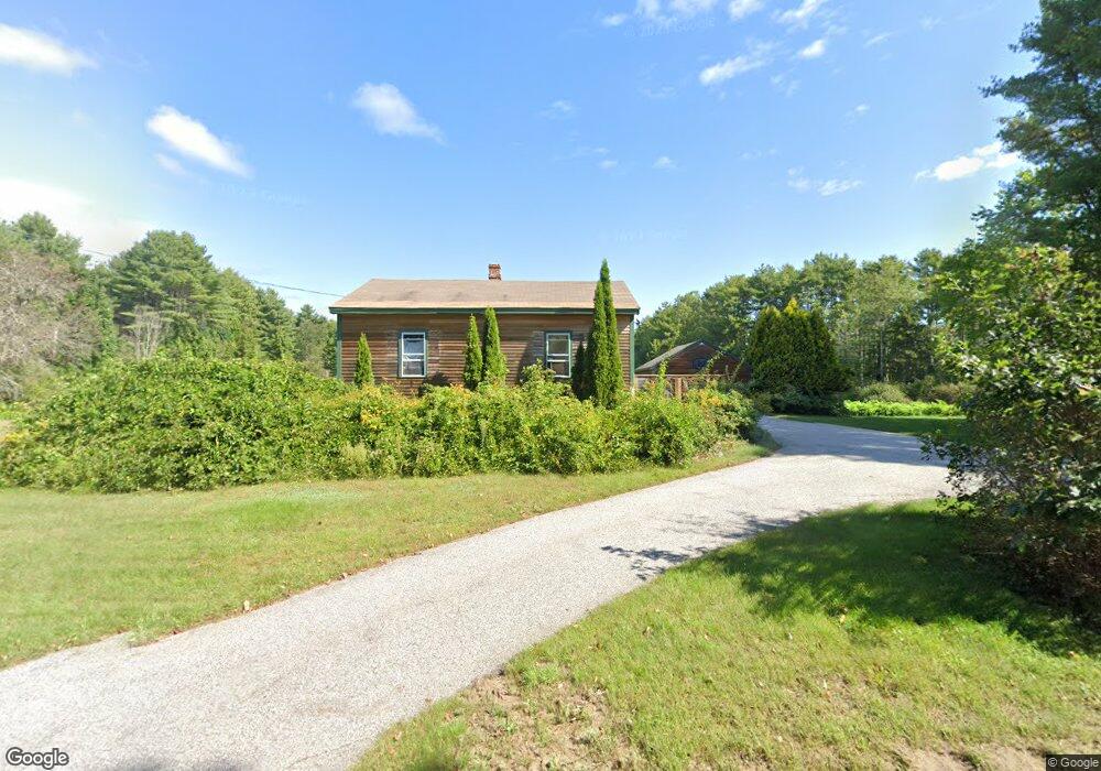
43 Elmwood Rd Pownal, ME 04069
Estimated Value: $437,887 - $464,000
3
Beds
1
Bath
1,190
Sq Ft
$380/Sq Ft
Est. Value
About This Home
This home is located at 43 Elmwood Rd, Pownal, ME 04069 and is currently estimated at $451,629, approximately $379 per square foot. 43 Elmwood Rd is a home located in Cumberland County with nearby schools including Freeport High School, Pine Tree Academy, and Maine Coast Waldorf School.
Ownership History
Date
Name
Owned For
Owner Type
Purchase Details
Closed on
Mar 11, 2019
Sold by
43 Elmwood Llc
Bought by
Mennealy Brad and Mennealy Danielle
Current Estimated Value
Home Financials for this Owner
Home Financials are based on the most recent Mortgage that was taken out on this home.
Original Mortgage
$489,800
Outstanding Balance
$430,618
Interest Rate
4.4%
Mortgage Type
Purchase Money Mortgage
Estimated Equity
$21,011
Purchase Details
Closed on
Feb 1, 2007
Sold by
Mellus Ryan D
Bought by
Peavey Sharyn L
Home Financials for this Owner
Home Financials are based on the most recent Mortgage that was taken out on this home.
Original Mortgage
$160,000
Interest Rate
6.16%
Mortgage Type
Commercial
Create a Home Valuation Report for This Property
The Home Valuation Report is an in-depth analysis detailing your home's value as well as a comparison with similar homes in the area
Home Values in the Area
Average Home Value in this Area
Purchase History
| Date | Buyer | Sale Price | Title Company |
|---|---|---|---|
| Mennealy Brad | -- | -- | |
| Peavey Sharyn L | -- | -- |
Source: Public Records
Mortgage History
| Date | Status | Borrower | Loan Amount |
|---|---|---|---|
| Open | Mennealy Brad | $489,800 | |
| Previous Owner | Peavey Sharyn L | $170,250 | |
| Previous Owner | Peavey Sharyn L | $160,000 |
Source: Public Records
Tax History Compared to Growth
Tax History
| Year | Tax Paid | Tax Assessment Tax Assessment Total Assessment is a certain percentage of the fair market value that is determined by local assessors to be the total taxable value of land and additions on the property. | Land | Improvement |
|---|---|---|---|---|
| 2024 | $4,044 | $237,900 | $89,700 | $148,200 |
| 2023 | $3,738 | $198,300 | $74,800 | $123,500 |
| 2022 | $3,560 | $197,800 | $74,800 | $123,000 |
| 2021 | $3,560 | $197,800 | $74,800 | $123,000 |
| 2020 | $1,112 | $197,800 | $74,800 | $123,000 |
| 2019 | $5,724 | $197,800 | $74,800 | $123,000 |
| 2018 | $1,042 | $197,800 | $74,800 | $123,000 |
| 2017 | $2,410 | $197,800 | $74,800 | $123,000 |
| 2016 | $3,264 | $197,800 | $74,800 | $123,000 |
| 2015 | $2,535 | $75,100 | $19,100 | $56,000 |
| 2014 | $2,591 | $75,100 | $19,100 | $56,000 |
| 2013 | $2,610 | $75,100 | $19,100 | $56,000 |
Source: Public Records
Map
Nearby Homes
- 162 Merrill Rd
- 304 Pownal Rd
- 4 Harper's Trail
- 8 Statler Ln
- 10 Durham Rd
- 15 Percy St
- 42 Durham Rd
- 137 Durham Rd
- 238 Hallowell Rd
- 143 Bragdon Rd
- 1612 U S Route 1
- 118 Royal Rd
- 212 Main St
- 31 Sequoia Dr
- 15 Sequoia Dr
- 26 Harvest Ridge Rd Unit 24
- 11 Orchard Hill Rd
- 1260 Us Route 1
- 3 Ron Henry Ln
- 247 Ledge Rd
- 44 Elmwood Rd
- 55 Elmwood Rd
- 31 Elmwood Rd
- 56 Elmwood Rd
- 32 Elmwood Rd
- 24 Elmwood Rd
- 49 Elmwood Rd
- 101 Verrill Rd
- 14 Florence Ln
- 2 Florence Ln
- Lot 1 Florence Ln
- 121 Verrill Rd
- 129 Verrill Rd
- Lot 14 Elmwood Rd
- Lot 14 Elmwood Rd
- Lot 2 Florence Ln
- 3 Florence Ln
- 1 Florence Ln
- 16 Elmwood Rd
- 24 Florence Ln