43 Fernald Rd Freeport, ME 04032
Estimated Value: $403,267 - $480,000
3
Beds
2
Baths
1,144
Sq Ft
$396/Sq Ft
Est. Value
About This Home
This home is located at 43 Fernald Rd, Freeport, ME 04032 and is currently estimated at $453,067, approximately $396 per square foot. 43 Fernald Rd is a home with nearby schools including Morse Street School, Mast Landing School, and Freeport Middle School.
Ownership History
Date
Name
Owned For
Owner Type
Purchase Details
Closed on
May 25, 2022
Sold by
Capen Timothy M
Bought by
Capen Michael T
Current Estimated Value
Home Financials for this Owner
Home Financials are based on the most recent Mortgage that was taken out on this home.
Original Mortgage
$120,000
Outstanding Balance
$113,339
Interest Rate
4.63%
Mortgage Type
Purchase Money Mortgage
Estimated Equity
$339,728
Create a Home Valuation Report for This Property
The Home Valuation Report is an in-depth analysis detailing your home's value as well as a comparison with similar homes in the area
Home Values in the Area
Average Home Value in this Area
Purchase History
| Date | Buyer | Sale Price | Title Company |
|---|---|---|---|
| Capen Michael T | -- | None Available |
Source: Public Records
Mortgage History
| Date | Status | Borrower | Loan Amount |
|---|---|---|---|
| Open | Capen Michael T | $120,000 |
Source: Public Records
Tax History Compared to Growth
Tax History
| Year | Tax Paid | Tax Assessment Tax Assessment Total Assessment is a certain percentage of the fair market value that is determined by local assessors to be the total taxable value of land and additions on the property. | Land | Improvement |
|---|---|---|---|---|
| 2024 | $4,057 | $303,900 | $123,900 | $180,000 |
| 2023 | $3,695 | $268,700 | $112,600 | $156,100 |
| 2022 | $3,508 | $257,000 | $100,900 | $156,100 |
| 2021 | $3,431 | $257,000 | $100,900 | $156,100 |
| 2020 | $3,305 | $236,100 | $93,400 | $142,700 |
| 2019 | $3,179 | $222,300 | $88,100 | $134,200 |
| 2018 | $3,015 | $204,600 | $80,400 | $124,200 |
| 2017 | $2,947 | $197,100 | $78,600 | $118,500 |
| 2016 | $2,915 | $184,500 | $74,500 | $110,000 |
Source: Public Records
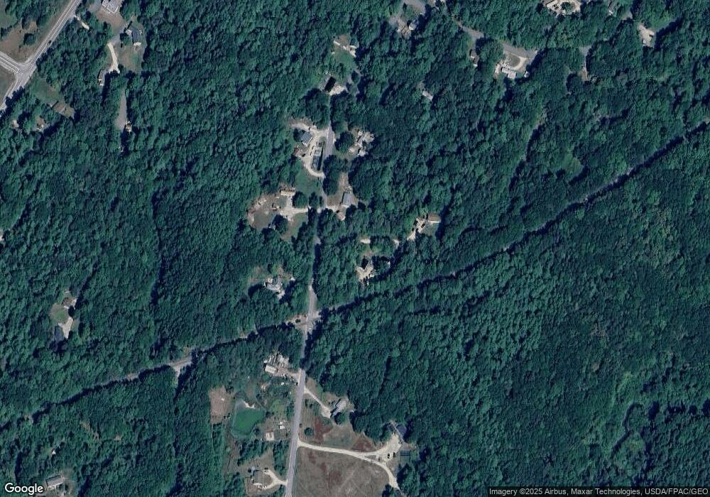
Map
Nearby Homes
- 1260 Us Route 1
- 15 Tinkers Way
- 0 Prout Rd
- 31 Allen Range Rd
- 7 Hideaway Dr
- 11 Orchard Hill Rd
- 5 Indian Ridge Rd
- 1595 U S Route 1
- 713 Old Portland Rd
- 143 Bragdon Rd
- 10 Durham Rd
- 15 Percy St
- 3 Ron Henry Ln
- 12 West St
- 0 S Freeport Rd
- 1612 U S Route 1
- 16 Curtis Rd
- 42A Wardtown Rd
- Lot # 4 South St
- 134 Durham Rd