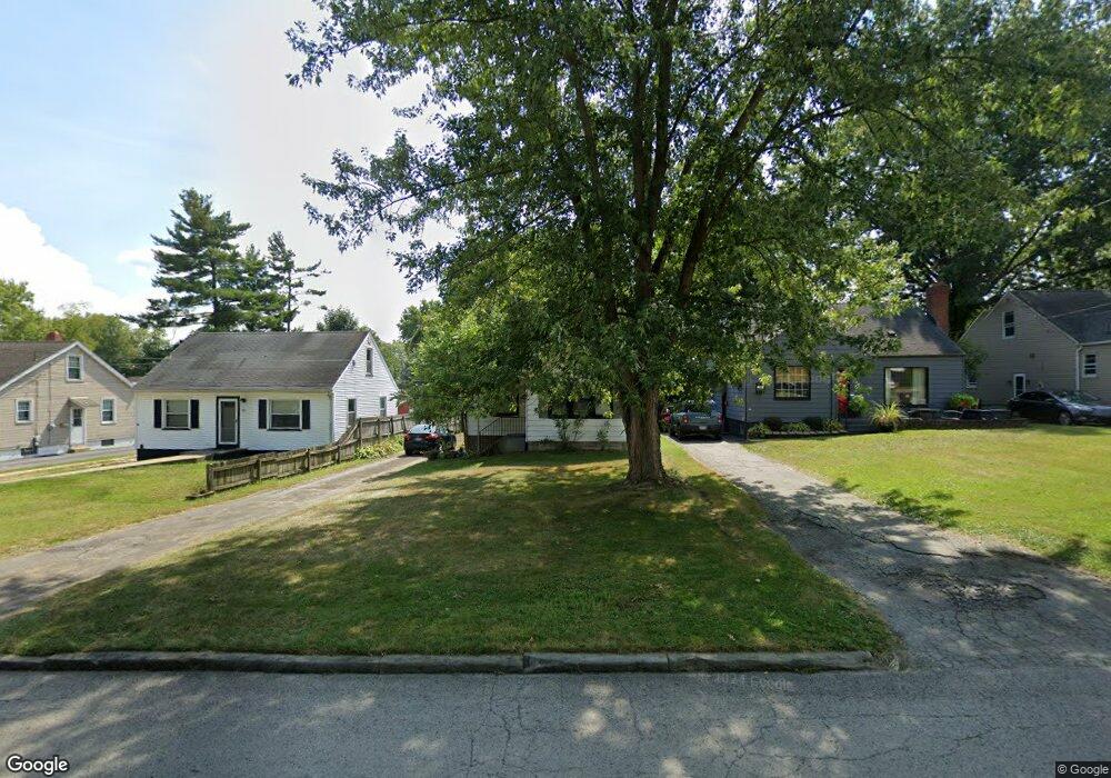
43 Gertrude Ave Youngstown, OH 44512
Estimated Value: $100,000 - $116,000
2
Beds
1
Bath
1,088
Sq Ft
$99/Sq Ft
Est. Value
About This Home
This home is located at 43 Gertrude Ave, Youngstown, OH 44512 and is currently estimated at $107,653, approximately $98 per square foot. 43 Gertrude Ave is a home located in Mahoning County with nearby schools including Boardman Glenwood Junior High School, Boardman High School, and Horizon Science Academy - Youngstown.
Ownership History
Date
Name
Owned For
Owner Type
Purchase Details
Closed on
Aug 29, 2001
Sold by
Johnson Michael K and Johnson Joan L
Bought by
Johnson Michael K and Johnson Joan L
Current Estimated Value
Home Financials for this Owner
Home Financials are based on the most recent Mortgage that was taken out on this home.
Original Mortgage
$43,300
Interest Rate
7.03%
Purchase Details
Closed on
Dec 26, 1996
Bought by
Johnson Joan L
Purchase Details
Closed on
Sep 3, 1991
Bought by
Hatchaer Marjorie R
Create a Home Valuation Report for This Property
The Home Valuation Report is an in-depth analysis detailing your home's value as well as a comparison with similar homes in the area
Home Values in the Area
Average Home Value in this Area
Purchase History
| Date | Buyer | Sale Price | Title Company |
|---|---|---|---|
| Johnson Michael K | -- | -- | |
| Johnson Joan L | -- | -- | |
| Hatchaer Marjorie R | $33,900 | -- |
Source: Public Records
Mortgage History
| Date | Status | Borrower | Loan Amount |
|---|---|---|---|
| Previous Owner | Johnson Michael K | $43,300 |
Source: Public Records
Tax History Compared to Growth
Tax History
| Year | Tax Paid | Tax Assessment Tax Assessment Total Assessment is a certain percentage of the fair market value that is determined by local assessors to be the total taxable value of land and additions on the property. | Land | Improvement |
|---|---|---|---|---|
| 2024 | $796 | $24,640 | $3,960 | $20,680 |
| 2023 | $817 | $24,640 | $3,960 | $20,680 |
| 2022 | $394 | $14,020 | $3,950 | $10,070 |
| 2021 | $394 | $14,020 | $3,950 | $10,070 |
| 2020 | $396 | $14,020 | $3,950 | $10,070 |
| 2019 | $364 | $12,300 | $3,470 | $8,830 |
| 2018 | $260 | $12,300 | $3,470 | $8,830 |
| 2017 | $242 | $12,300 | $3,470 | $8,830 |
| 2016 | $302 | $13,200 | $3,760 | $9,440 |
| 2015 | $296 | $13,200 | $3,760 | $9,440 |
| 2014 | $297 | $13,200 | $3,760 | $9,440 |
| 2013 | $293 | $13,200 | $3,760 | $9,440 |
Source: Public Records
Map
Nearby Homes
- 44 Gertrude Ave
- 149 Argyle Ave
- 169 Wolcott Dr
- 197 Mathews Rd Unit B
- 81 Melrose Ave
- 103 Wildwood Dr
- 167 Afton Ave
- 127 Melrose Ave
- 235 Wolcott Dr
- 0 Mathews Rd Unit 5038026
- 26 Marlindale Ave
- 6001 Applecrest Dr
- 6511 Pembrooke Place
- 329 Afton Ave
- 96 Aylesboro Ave
- 242 Oakley Ave
- 642 Oakridge Dr
- 6726 Glendale Ave
- 175 Homestead Dr
- 28 Terrace Dr
- 47 Gertrude Ave
- 39 Gertrude Ave
- 51 Gertrude Ave
- 35 Gertrude Ave
- 59 Gertrude Ave
- 44 Arlene Ave
- 48 Arlene Ave
- 61 Gertrude Ave
- 33 Gertrude Ave
- 40 Arlene Ave
- 52 Arlene Ave
- 32 Arlene Ave
- 56 Arlene Ave
- 67 Gertrude Ave
- 29 Gertrude Ave
- 46 Gertrude Ave
- 60 Arlene Ave
- 42 Gertrude Ave
- 34 Gertrude Ave
- 25 Gertrude Ave