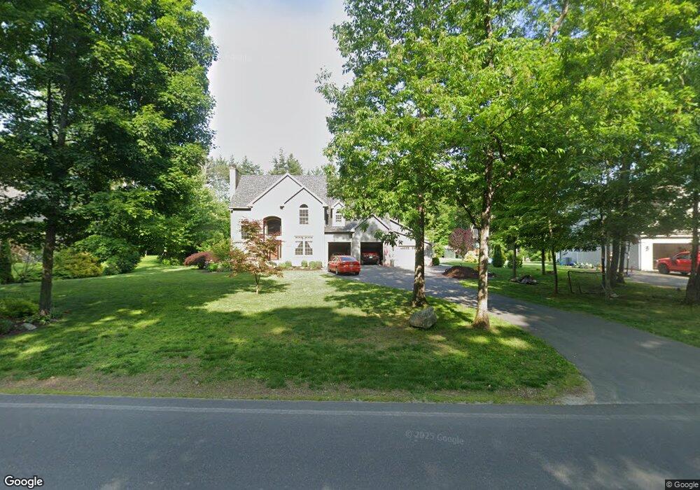
43 Gilbert Rd Southampton, MA 01073
Estimated Value: $783,000 - $957,000
3
Beds
4
Baths
3,763
Sq Ft
$227/Sq Ft
Est. Value
About This Home
This home is located at 43 Gilbert Rd, Southampton, MA 01073 and is currently estimated at $856,010, approximately $227 per square foot. 43 Gilbert Rd is a home located in Hampshire County with nearby schools including William E Norris School, White Oak School, and Calvary Baptist Christian School.
Ownership History
Date
Name
Owned For
Owner Type
Purchase Details
Closed on
Sep 28, 2007
Sold by
Gwinner Edward H
Bought by
Bianca Caroline and Bianca Joseph C
Current Estimated Value
Home Financials for this Owner
Home Financials are based on the most recent Mortgage that was taken out on this home.
Original Mortgage
$342,400
Outstanding Balance
$218,658
Interest Rate
6.65%
Mortgage Type
Purchase Money Mortgage
Estimated Equity
$637,352
Create a Home Valuation Report for This Property
The Home Valuation Report is an in-depth analysis detailing your home's value as well as a comparison with similar homes in the area
Home Values in the Area
Average Home Value in this Area
Purchase History
| Date | Buyer | Sale Price | Title Company |
|---|---|---|---|
| Bianca Caroline | $428,000 | -- |
Source: Public Records
Mortgage History
| Date | Status | Borrower | Loan Amount |
|---|---|---|---|
| Open | Bianca Caroline | $342,400 |
Source: Public Records
Tax History Compared to Growth
Tax History
| Year | Tax Paid | Tax Assessment Tax Assessment Total Assessment is a certain percentage of the fair market value that is determined by local assessors to be the total taxable value of land and additions on the property. | Land | Improvement |
|---|---|---|---|---|
| 2025 | $11,312 | $798,300 | $118,900 | $679,400 |
| 2024 | $11,376 | $798,300 | $118,900 | $679,400 |
| 2023 | $9,968 | $695,600 | $118,900 | $576,700 |
| 2022 | $9,568 | $634,900 | $118,600 | $516,300 |
| 2021 | $9,376 | $587,100 | $111,200 | $475,900 |
| 2020 | $9,288 | $587,100 | $111,200 | $475,900 |
| 2019 | $8,987 | $551,000 | $111,200 | $439,800 |
| 2018 | $8,541 | $510,800 | $99,900 | $410,900 |
| 2017 | $6,575 | $402,900 | $99,900 | $303,000 |
| 2015 | $6,342 | $403,700 | $91,500 | $312,200 |
Source: Public Records
Map
Nearby Homes
- 119 Brickyard Rd
- Lot 5 Brickyard Rd
- 117 Russellville Rd
- Lot 5 Gil Farm Rd
- Lot 6 Gil Farm Rd
- 100 Fomer Rd
- 369 College Hwy
- 17 Maple St
- 132 North Rd
- 7 Quigley Rd
- 336 Russellville Rd
- Lot 57 White Loaf Rd
- 115 Crooked Ledge Rd
- LOT 3 Brickyard Rd
- 45 Jaeger Dr
- 47 Jaeger Dr
- 232 Russellville Rd
- 150 Middle Rd
- 29 Rattle Hill Rd
- 94 Pequot Rd (Rear)