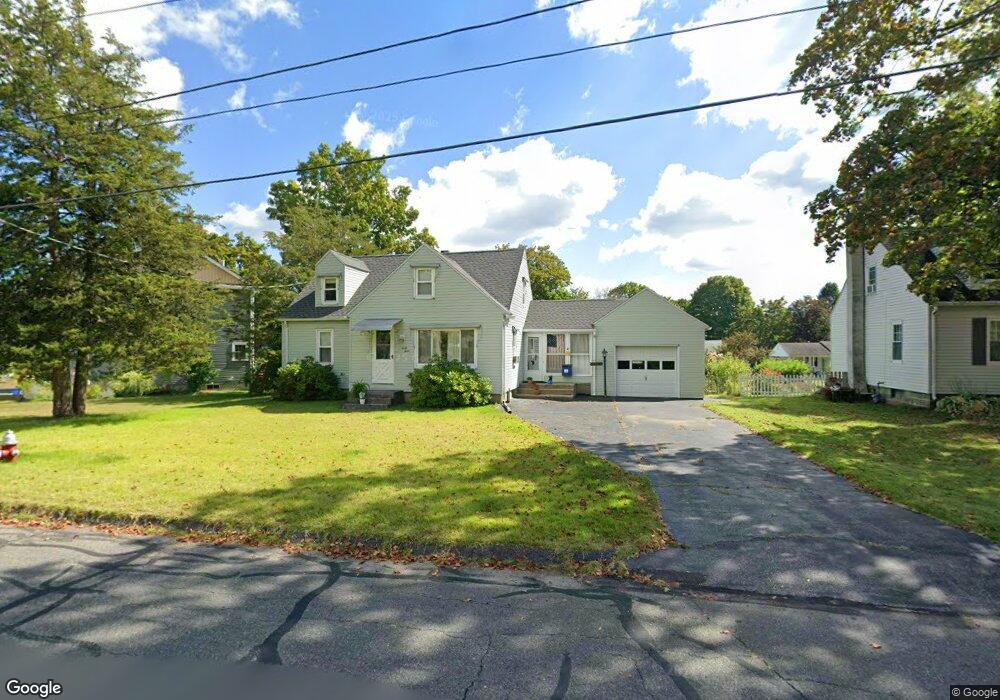
43 Grandview St Florence, MA 01062
Florence NeighborhoodEstimated Value: $392,000 - $513,000
4
Beds
1
Bath
1,242
Sq Ft
$367/Sq Ft
Est. Value
About This Home
This home is located at 43 Grandview St, Florence, MA 01062 and is currently estimated at $456,083, approximately $367 per square foot. 43 Grandview St is a home located in Hampshire County with nearby schools including Northampton High School, The Montessori School of Northampton, and Lander Grinspoon Academy.
Ownership History
Date
Name
Owned For
Owner Type
Purchase Details
Closed on
Mar 28, 2024
Sold by
Lenkowski Mitchell W
Bought by
Lenkowski Mitchell W and West Linda A
Current Estimated Value
Purchase Details
Closed on
Aug 5, 2011
Sold by
Lenkowski Helen E
Bought by
West Linda A and Lenkowski Mitchell W
Create a Home Valuation Report for This Property
The Home Valuation Report is an in-depth analysis detailing your home's value as well as a comparison with similar homes in the area
Home Values in the Area
Average Home Value in this Area
Purchase History
| Date | Buyer | Sale Price | Title Company |
|---|---|---|---|
| Lenkowski Mitchell W | -- | None Available | |
| Lenkowski Mitchell W | -- | None Available | |
| Lenkowski Mitchell W | -- | None Available | |
| Lenkowski Mitchell W | -- | None Available | |
| West Linda A | $200,000 | -- | |
| West Linda A | $200,000 | -- |
Source: Public Records
Tax History Compared to Growth
Tax History
| Year | Tax Paid | Tax Assessment Tax Assessment Total Assessment is a certain percentage of the fair market value that is determined by local assessors to be the total taxable value of land and additions on the property. | Land | Improvement |
|---|---|---|---|---|
| 2025 | $5,692 | $408,600 | $118,700 | $289,900 |
| 2024 | $4,908 | $323,100 | $118,700 | $204,400 |
| 2023 | $4,505 | $284,400 | $107,900 | $176,500 |
| 2022 | $4,426 | $247,400 | $107,900 | $139,500 |
| 2021 | $3,745 | $215,600 | $103,000 | $112,600 |
| 2020 | $3,622 | $215,600 | $103,000 | $112,600 |
| 2019 | $3,380 | $194,600 | $88,300 | $106,300 |
| 2018 | $3,331 | $195,500 | $88,300 | $107,200 |
| 2017 | $3,263 | $195,500 | $88,300 | $107,200 |
| 2016 | $3,159 | $195,500 | $88,300 | $107,200 |
| 2015 | $3,408 | $215,700 | $98,100 | $117,600 |
| 2014 | $3,320 | $215,700 | $98,100 | $117,600 |
Source: Public Records
Map
Nearby Homes
- 84 N Main St
- 76 Maple St
- 67 Park St Unit A
- 67 Park St Unit B
- 67 Park St Unit D
- 152 S Main St Unit 8
- 152 S Main St Unit 4
- 0 Terrace Ln
- 225 Nonotuck St Unit C
- 76 Cooke Ave
- 36 Landy Ave
- 37 Landy Ave
- 32 Stonewall Dr
- 384 Spring St
- 63 Riverside Dr
- 93 Laurel Park Unit 93
- 74 Barrett St Unit 105
- 66 Laurel Park Unit 66
- 80 Damon Rd Unit 5104
- 107 Front St