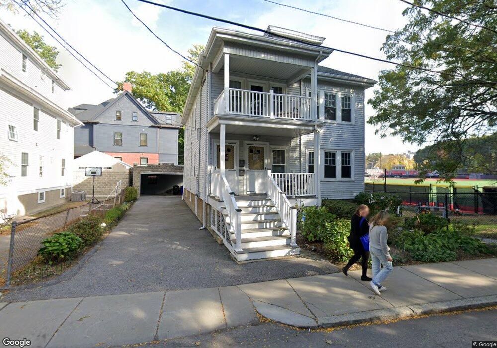
43 Harrison St Unit 45 Brookline, MA 02446
Coolidge Corner NeighborhoodEstimated Value: $1,766,298 - $2,077,000
5
Beds
2
Baths
2,589
Sq Ft
$748/Sq Ft
Est. Value
About This Home
This home is located at 43 Harrison St Unit 45, Brookline, MA 02446 and is currently estimated at $1,935,575, approximately $747 per square foot. 43 Harrison St Unit 45 is a home located in Norfolk County with nearby schools including Amos A. Lawrence School, St. Mary of the Assumption Elementary School, and New England Hebrew Academy.
Ownership History
Date
Name
Owned For
Owner Type
Purchase Details
Closed on
Jun 10, 2024
Sold by
Cavanaugh Janice M
Bought by
Cavanaugh Janice M and Cavanaugh Julie A
Current Estimated Value
Purchase Details
Closed on
Aug 6, 2012
Sold by
Bagley Edward T
Bought by
Cavanaugh Janice
Purchase Details
Closed on
Sep 15, 1964
Bought by
Cavanaugh Janice
Create a Home Valuation Report for This Property
The Home Valuation Report is an in-depth analysis detailing your home's value as well as a comparison with similar homes in the area
Home Values in the Area
Average Home Value in this Area
Purchase History
| Date | Buyer | Sale Price | Title Company |
|---|---|---|---|
| Cavanaugh Janice M | -- | None Available | |
| Cavanaugh Janice M | -- | None Available | |
| Cavanaugh Janice | -- | -- | |
| Cavanaugh Janice | -- | -- | |
| Cavanaugh Janice | $21,000 | -- |
Source: Public Records
Tax History Compared to Growth
Tax History
| Year | Tax Paid | Tax Assessment Tax Assessment Total Assessment is a certain percentage of the fair market value that is determined by local assessors to be the total taxable value of land and additions on the property. | Land | Improvement |
|---|---|---|---|---|
| 2025 | $13,436 | $1,361,300 | $1,159,800 | $201,500 |
| 2024 | $12,917 | $1,322,100 | $1,115,200 | $206,900 |
| 2023 | $11,298 | $1,133,200 | $921,700 | $211,500 |
| 2022 | $10,998 | $1,079,300 | $877,800 | $201,500 |
| 2021 | $10,169 | $1,037,700 | $844,000 | $193,700 |
| 2020 | $9,151 | $968,400 | $767,300 | $201,100 |
| 2019 | $8,642 | $922,300 | $730,800 | $191,500 |
| 2018 | $7,457 | $788,300 | $581,100 | $207,200 |
| 2017 | $7,211 | $729,900 | $548,200 | $181,700 |
| 2016 | $6,914 | $663,500 | $512,300 | $151,200 |
| 2015 | $6,006 | $562,400 | $435,300 | $127,100 |
| 2014 | $6,131 | $538,300 | $395,700 | $142,600 |
Source: Public Records
Map
Nearby Homes
- 65 Francis St Unit 65
- 65 Francis St
- 57 Saint Paul St Unit 19
- 216 Aspinwall Ave
- 214 Aspinwall Ave Unit 2
- 106 Brook St
- 120 Brook St Unit 1
- 151 Longwood Ave Unit 1
- 98 Saint Paul St Unit A1
- 30 Stearns Rd Unit 302
- 123 Sewall Ave Unit LC
- 60 Longwood Ave Unit 307
- 60 Longwood Ave Unit 403
- 45 Longwood Ave Unit 812
- 45 Longwood Ave Unit PHA
- 14 Linden St Unit 8
- 58 Kent St Unit 302
- 58 Kent St Unit 404
- 58 Kent St Unit 305
- 58 Kent St Unit 303
- 47 Harrison St Unit 2
- 47 Harrison St Unit 49
- 49 Harrison St Unit 1
- 47 Harrison St
- 49 Harrison St
- 32 Kent Square Unit 1
- 32 Kent Square Unit 2
- 32 Kent Square
- 33 Kent Square
- 44 Harrison St Unit 2
- 44 Harrison St Unit 1
- 44 Harrison St Unit 1,44
- 48 Harrison St
- 48 Harrison St Unit 1
- 40 Harrison St
- 26 Kent Square
- 55 Harrison St Unit 1
- 52 Harrison St
- 38 Harrison St
- 36 Harrison St