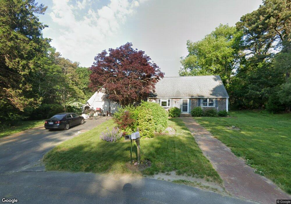
43 High Popple Rd West Barnstable, MA 02668
Marstons Mills NeighborhoodEstimated Value: $712,000 - $880,000
4
Beds
3
Baths
2,201
Sq Ft
$358/Sq Ft
Est. Value
About This Home
This home is located at 43 High Popple Rd, West Barnstable, MA 02668 and is currently estimated at $788,108, approximately $358 per square foot. 43 High Popple Rd is a home located in Barnstable County with nearby schools including West Barnstable Elementary School, Barnstable United Elementary School, and Barnstable Intermediate School.
Ownership History
Date
Name
Owned For
Owner Type
Purchase Details
Closed on
Jun 15, 1998
Sold by
Obrion James S and Obrion Lois A
Bought by
Holzman Robert P
Current Estimated Value
Home Financials for this Owner
Home Financials are based on the most recent Mortgage that was taken out on this home.
Original Mortgage
$158,500
Interest Rate
7.11%
Mortgage Type
Purchase Money Mortgage
Create a Home Valuation Report for This Property
The Home Valuation Report is an in-depth analysis detailing your home's value as well as a comparison with similar homes in the area
Home Values in the Area
Average Home Value in this Area
Purchase History
| Date | Buyer | Sale Price | Title Company |
|---|---|---|---|
| Holzman Robert P | $176,200 | -- |
Source: Public Records
Mortgage History
| Date | Status | Borrower | Loan Amount |
|---|---|---|---|
| Open | Holzman Robert P | $210,000 | |
| Closed | Holzman Robert P | $210,000 | |
| Closed | Holzman Robert P | $220,000 | |
| Closed | Holzman Robert P | $158,500 |
Source: Public Records
Tax History Compared to Growth
Tax History
| Year | Tax Paid | Tax Assessment Tax Assessment Total Assessment is a certain percentage of the fair market value that is determined by local assessors to be the total taxable value of land and additions on the property. | Land | Improvement |
|---|---|---|---|---|
| 2025 | $6,859 | $734,400 | $200,200 | $534,200 |
| 2024 | $6,038 | $703,700 | $200,200 | $503,500 |
| 2023 | $5,892 | $646,800 | $197,800 | $449,000 |
| 2022 | $5,839 | $525,600 | $140,600 | $385,000 |
| 2021 | $0 | $472,200 | $140,600 | $331,600 |
| 2020 | $0 | $454,800 | $140,600 | $314,200 |
| 2019 | $5,191 | $422,700 | $140,600 | $282,100 |
| 2018 | $0 | $403,400 | $154,200 | $249,200 |
| 2017 | $0 | $393,000 | $154,200 | $238,800 |
| 2016 | $4,684 | $390,700 | $151,900 | $238,800 |
| 2015 | $4,713 | $394,100 | $152,800 | $241,300 |
Source: Public Records
Map
Nearby Homes
- 250 The Plains Rd
- 128 Lakeside Dr
- 38 Lakeside Dr
- 158 Lakeside Dr
- 5 Huckleberry Ln
- 339 Cedar St
- 50 Currycomb Cir
- 80 Saddler Ln
- 74 Saddler Ln
- 88 Joe Thompson Rd
- 515 Cedar St
- 5 Conaumet Rd
- 75 Old Toll Rd
- 510 Cedar St
- 1028 Old Falmouth Rd
- 1044 Old Falmouth Rd
- 40 Appaloosa Way
- 2400 Meetinghouse Way
- 718 Cedar St
- 87 Foxglove Rd
- 25 High Popple Rd
- 25 High Popple Rd
- 42 High Popple Rd
- 20 High Popple Rd
- 11 High Popple Rd
- 1483 Route 149
- 1503 Massachusetts 149
- 1503 Route 149
- 15 Popple Bottom Rd
- 1500 Route 149
- 1460 Route 149
- 90 Red Oak Ln
- 0 Rte 149 Unit 5014290
- 0 Rte 149 Unit 195A 2037681
- 0 Rte 149 Unit 195A
- 107 Red Oak Ln
- 221 Route 149
- 46 Route 149
- 223 Route 149
- 0 Wheeler Rd & 875 Race Ln