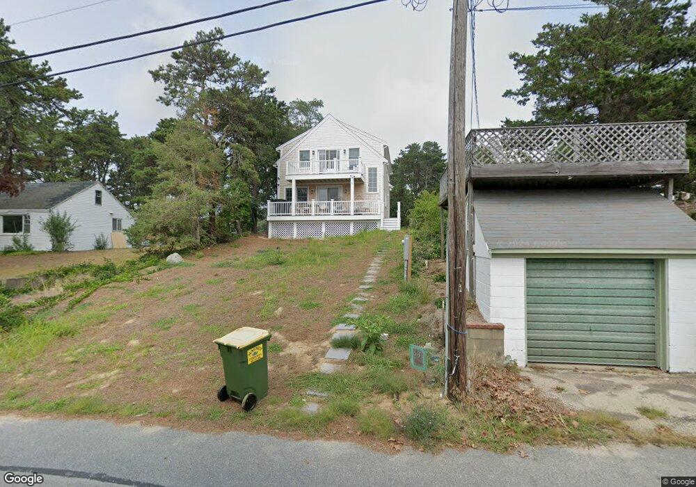
43 Hiller Ave Wellfleet, MA 02667
Estimated Value: $654,000 - $995,156
3
Beds
3
Baths
700
Sq Ft
$1,146/Sq Ft
Est. Value
About This Home
This home is located at 43 Hiller Ave, Wellfleet, MA 02667 and is currently estimated at $802,289, approximately $1,146 per square foot. 43 Hiller Ave is a home located in Barnstable County with nearby schools including Wellfleet Elementary School, Nauset Regional Middle School, and Nauset Regional High School.
Ownership History
Date
Name
Owned For
Owner Type
Purchase Details
Closed on
Apr 11, 2023
Sold by
Shreders Julie E and Shreders Nicholas
Bought by
43 Hiller Llc
Current Estimated Value
Purchase Details
Closed on
Nov 25, 2022
Sold by
Engel Peter A
Bought by
Shreders Julie E and Engel Eric T
Purchase Details
Closed on
Jul 12, 2002
Sold by
Zarutskie Susan J
Bought by
Engel Peter A
Create a Home Valuation Report for This Property
The Home Valuation Report is an in-depth analysis detailing your home's value as well as a comparison with similar homes in the area
Home Values in the Area
Average Home Value in this Area
Purchase History
| Date | Buyer | Sale Price | Title Company |
|---|---|---|---|
| 43 Hiller Llc | -- | None Available | |
| 43 Hiller Llc | -- | None Available | |
| Shreders Julie E | -- | None Available | |
| Shreders Julie E | -- | None Available | |
| Engel Peter A | $105,000 | -- | |
| Engel Peter A | $105,000 | -- |
Source: Public Records
Tax History Compared to Growth
Tax History
| Year | Tax Paid | Tax Assessment Tax Assessment Total Assessment is a certain percentage of the fair market value that is determined by local assessors to be the total taxable value of land and additions on the property. | Land | Improvement |
|---|---|---|---|---|
| 2025 | $4,418 | $621,400 | $365,700 | $255,700 |
| 2024 | $3,390 | $496,300 | $348,300 | $148,000 |
| 2023 | $2,981 | $428,300 | $295,200 | $133,100 |
| 2022 | $2,770 | $356,100 | $258,900 | $97,200 |
| 2021 | $2,455 | $312,300 | $231,100 | $81,200 |
| 2020 | $2,447 | $315,700 | $234,000 | $81,700 |
| 2019 | $2,420 | $313,100 | $234,000 | $79,100 |
| 2018 | $2,244 | $312,600 | $234,000 | $78,600 |
| 2017 | $2,115 | $312,000 | $234,000 | $78,000 |
| 2016 | $2,112 | $309,200 | $231,700 | $77,500 |
| 2015 | $2,071 | $305,500 | $229,400 | $76,100 |
Source: Public Records
Map
Nearby Homes
- 260 Kendrick Ave Unit 4
- 260 Kendrick Ave Unit 6
- 75 Atwood Ave
- 164 Kendrick Ave Unit C
- 164 Kendrick Ave Unit B
- 164 Kendrick Ave Unit 2 & 3
- 46 Hiram Hill Rd
- 210 Chequessett Neck Rd Unit C
- 35 Holbrook Ave
- 105 W Main St
- 14 Kendrick Ave
- 20 Bank St
- 10 Bank St
- 15 Squires Pond Ln
- 223 Main St
- 71 Pole Dike Rd
- 50 Higgins Ln
- 45 Way 035 Unit C
- 135 Marven Way
- 256 Browns Neck Rd