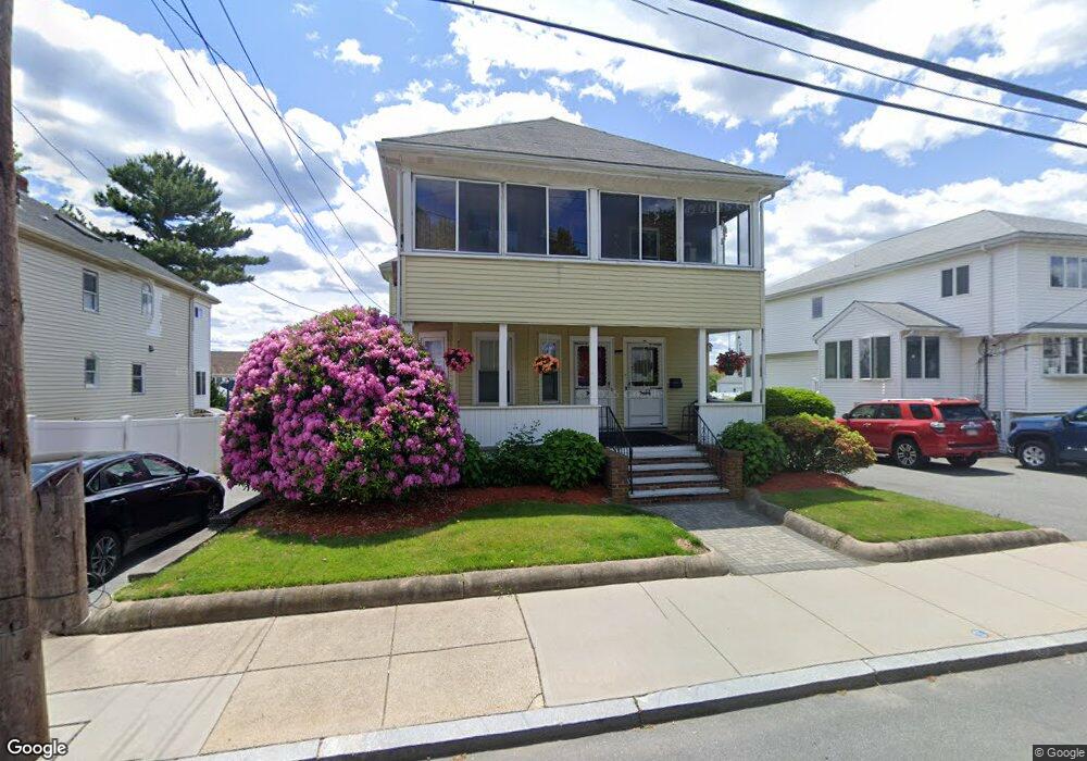
43 Locust St Unit 45 Winthrop, MA 02152
Downtown Winthrop NeighborhoodEstimated Value: $634,000 - $1,197,000
6
Beds
2
Baths
3,924
Sq Ft
$236/Sq Ft
Est. Value
About This Home
This home is located at 43 Locust St Unit 45, Winthrop, MA 02152 and is currently estimated at $924,110, approximately $235 per square foot. 43 Locust St Unit 45 is a home located in Suffolk County with nearby schools including William P. Gorman/Fort Banks Elementary School, Arthur T. Cummings Elementary School, and Winthrop Middle School.
Ownership History
Date
Name
Owned For
Owner Type
Purchase Details
Closed on
Sep 30, 2009
Sold by
Kalogeris James P
Bought by
Kalo Realty Llc
Current Estimated Value
Purchase Details
Closed on
Jul 23, 2009
Sold by
Martinoli Irene K
Bought by
Kalogeris James P
Purchase Details
Closed on
Aug 2, 2007
Sold by
Kalogeris Emily
Bought by
Hinckley Angie and Kalogeris Emily
Create a Home Valuation Report for This Property
The Home Valuation Report is an in-depth analysis detailing your home's value as well as a comparison with similar homes in the area
Home Values in the Area
Average Home Value in this Area
Purchase History
| Date | Buyer | Sale Price | Title Company |
|---|---|---|---|
| Kalo Realty Llc | -- | -- | |
| Kalogeris James P | $223,332 | -- | |
| Hinckley Angie | -- | -- | |
| Kalogeris Emily | -- | -- |
Source: Public Records
Tax History
| Year | Tax Paid | Tax Assessment Tax Assessment Total Assessment is a certain percentage of the fair market value that is determined by local assessors to be the total taxable value of land and additions on the property. | Land | Improvement |
|---|---|---|---|---|
| 2025 | $8,465 | $820,300 | $345,600 | $474,700 |
| 2024 | $7,389 | $709,100 | $332,100 | $377,000 |
| 2023 | $8,222 | $768,400 | $304,000 | $464,400 |
| 2022 | $8,086 | $687,600 | $271,300 | $416,300 |
| 2021 | $7,910 | $623,800 | $242,200 | $381,600 |
| 2020 | $7,703 | $610,400 | $242,200 | $368,200 |
| 2019 | $7,584 | $575,400 | $223,200 | $352,200 |
| 2018 | $7,399 | $522,500 | $191,600 | $330,900 |
| 2017 | $6,750 | $468,400 | $169,600 | $298,800 |
| 2016 | $6,408 | $416,900 | $147,500 | $269,400 |
| 2015 | $5,687 | $396,600 | $143,200 | $253,400 |
| 2014 | $5,483 | $351,900 | $133,200 | $218,700 |
Source: Public Records
Map
Nearby Homes
- 49 Sagamore Ave Unit 3A
- 43 Sagamore Ave Unit 1
- 140 Shirley St Unit 201
- 140 Shirley St Unit 310
- 140 Shirley St Unit 204
- 130 Shirley St Unit 202
- 100 Governors Dr Unit 118
- 800 Governors Dr Unit 6
- 800 Governors Dr Unit 17
- 47 Highland Ave
- 441 Winthrop St
- 426 Winthrop St
- 203 Winthrop Shore Dr Unit 2
- 54 Wilshire St
- 50-52 Wilshire St
- 22 Upland Rd
- 23 Trident Ave Unit 1
- 53 Trident Ave Unit 204
- 37 Trident Ave
- 279 Shirley St Unit 2
- 47 Locust St Unit 49
- 37 Locust St
- 31 Locust St
- 31 Locust St Unit Seaside Suite
- 38 Locust St
- 52 Locust St
- 52 Locust St Unit 3
- 44 Locust St Unit Rear
- 44 Locust St Unit 2
- 44 Locust St Unit 1
- 32 Locust St
- 54 Locust St
- 54 Locust St Unit 2
- 42 Almont St
- 25 Locust St
- 25 Locust St Unit 2
- 25 Locust St Unit 1
- 53 Locust St
- 61 Locust St
- 46 Almont St
Your Personal Tour Guide
Ask me questions while you tour the home.