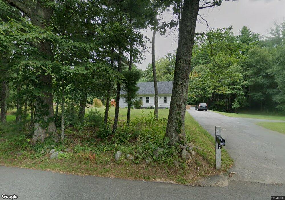
43 Lone Goose Rd South Hampton, NH 03827
Estimated Value: $523,000 - $831,000
2
Beds
1
Bath
2,436
Sq Ft
$284/Sq Ft
Est. Value
About This Home
This home is located at 43 Lone Goose Rd, South Hampton, NH 03827 and is currently estimated at $692,359, approximately $284 per square foot. 43 Lone Goose Rd is a home located in Rockingham County with nearby schools including South Hampton Barnard School, Winnacunnet High School, and Amesbury Seventh-Day Adventist School.
Ownership History
Date
Name
Owned For
Owner Type
Purchase Details
Closed on
Sep 23, 2016
Sold by
Strickland Peter A
Bought by
Drouin Cory and Drouin Katelyn
Current Estimated Value
Home Financials for this Owner
Home Financials are based on the most recent Mortgage that was taken out on this home.
Original Mortgage
$312,400
Interest Rate
3.45%
Mortgage Type
Purchase Money Mortgage
Create a Home Valuation Report for This Property
The Home Valuation Report is an in-depth analysis detailing your home's value as well as a comparison with similar homes in the area
Home Values in the Area
Average Home Value in this Area
Purchase History
| Date | Buyer | Sale Price | Title Company |
|---|---|---|---|
| Drouin Cory | $240,000 | -- |
Source: Public Records
Mortgage History
| Date | Status | Borrower | Loan Amount |
|---|---|---|---|
| Closed | Drouin Cory | $312,400 |
Source: Public Records
Tax History Compared to Growth
Tax History
| Year | Tax Paid | Tax Assessment Tax Assessment Total Assessment is a certain percentage of the fair market value that is determined by local assessors to be the total taxable value of land and additions on the property. | Land | Improvement |
|---|---|---|---|---|
| 2024 | $8,821 | $639,200 | $275,700 | $363,500 |
| 2023 | $8,821 | $639,200 | $275,700 | $363,500 |
| 2022 | $7,660 | $385,700 | $168,900 | $216,800 |
| 2021 | $7,687 | $385,700 | $168,900 | $216,800 |
| 2020 | $6,884 | $362,500 | $168,900 | $193,600 |
| 2019 | $6,471 | $362,500 | $168,900 | $193,600 |
| 2018 | $6,043 | $362,500 | $168,900 | $193,600 |
| 2017 | $5,876 | $305,400 | $158,500 | $146,900 |
| 2016 | $4,692 | $257,400 | $158,500 | $98,900 |
| 2015 | $5,130 | $257,400 | $158,500 | $98,900 |
| 2014 | $4,813 | $257,400 | $158,500 | $98,900 |
| 2012 | $5,140 | $348,500 | $226,000 | $122,500 |
Source: Public Records
Map
Nearby Homes
- 21 Currier St
- 152 Kimball Rd
- 155 Chase Rd
- 43 Maple Ave
- 17 Maple Ave
- 1 Tuxbury Ln
- 7 Ashley Ln
- 3 Greystone Rd
- 2 Alnette Rd
- 18 Harriman Rd
- 22 Jewell St
- 7 Grebenstein Dr
- 9 Bowley Rd
- 10 Mason Ct Unit 10
- 20 Mason Ct
- 4 Acadia Kimball Rd
- 1 Acadia Kimball Rd Unit 1
- 142 Haverhill Rd
- 129 Haverhill Rd
- 49 Church St
- 44 Lone Goose Rd
- 38 Lone Goose Rd
- 35 Lone Goose Rd
- 221 Hilldale Ave
- 48 Lone Goose Rd
- 34 Lone Goose Rd
- Lot 2 -1 Lone Goose
- 219 Hilldale Ave
- 2 Lone Goose Rd
- 1 Currier St
- 98 Lone Goose Rd
- 95 Lone Goose Rd
- 97 Lone Goose Rd
- 201 Hilldale Ave
- 5 Lone Goose Rd
- 217 Hilldale Ave
- 203 Hilldale Ave
- 1 Zachary Ln
- 6 Currier St
- 0 Lone Goose Rd