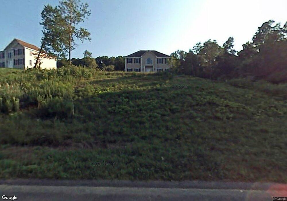
43 Longview Cir Pelham, NH 03076
Estimated Value: $818,711 - $863,000
4
Beds
3
Baths
2,624
Sq Ft
$321/Sq Ft
Est. Value
About This Home
This home is located at 43 Longview Cir, Pelham, NH 03076 and is currently estimated at $841,178, approximately $320 per square foot. 43 Longview Cir is a home with nearby schools including Pelham Elementary School, Pelham Memorial School, and Pelham High School.
Ownership History
Date
Name
Owned For
Owner Type
Purchase Details
Closed on
Apr 14, 2015
Sold by
Davis Scott W and Davis Karla A
Bought by
Davis Karla A
Current Estimated Value
Home Financials for this Owner
Home Financials are based on the most recent Mortgage that was taken out on this home.
Original Mortgage
$275,000
Outstanding Balance
$210,707
Interest Rate
3.77%
Mortgage Type
New Conventional
Estimated Equity
$630,471
Purchase Details
Closed on
Nov 17, 2003
Sold by
Collins Way Llc
Bought by
Davis Scott and Davis Carla
Create a Home Valuation Report for This Property
The Home Valuation Report is an in-depth analysis detailing your home's value as well as a comparison with similar homes in the area
Home Values in the Area
Average Home Value in this Area
Purchase History
| Date | Buyer | Sale Price | Title Company |
|---|---|---|---|
| Davis Karla A | -- | -- | |
| Davis Scott | $450,000 | -- |
Source: Public Records
Mortgage History
| Date | Status | Borrower | Loan Amount |
|---|---|---|---|
| Open | Davis Scott | $275,000 | |
| Closed | Davis Scott | $120,900 | |
| Previous Owner | Davis Scott | $280,700 |
Source: Public Records
Tax History Compared to Growth
Tax History
| Year | Tax Paid | Tax Assessment Tax Assessment Total Assessment is a certain percentage of the fair market value that is determined by local assessors to be the total taxable value of land and additions on the property. | Land | Improvement |
|---|---|---|---|---|
| 2024 | $11,391 | $621,100 | $180,200 | $440,900 |
| 2023 | $11,298 | $621,100 | $180,200 | $440,900 |
| 2022 | $10,820 | $621,100 | $180,200 | $440,900 |
| 2021 | $9,913 | $621,100 | $180,200 | $440,900 |
| 2020 | $9,726 | $481,500 | $141,000 | $340,500 |
| 2019 | $9,335 | $481,200 | $140,700 | $340,500 |
| 2018 | $9,382 | $437,200 | $140,700 | $296,500 |
| 2017 | $9,378 | $437,200 | $140,700 | $296,500 |
| 2016 | $9,159 | $437,200 | $140,700 | $296,500 |
| 2015 | $9,046 | $388,900 | $134,500 | $254,400 |
| 2014 | $8,894 | $388,900 | $134,500 | $254,400 |
| 2013 | $8,894 | $388,900 | $134,500 | $254,400 |
Source: Public Records
Map
Nearby Homes
- 1119 Mammoth Rd
- 11 Venus Way
- 7 Venus Way Unit 22
- 96 Simpson Rd
- 2 Cypress Ln
- 7 Cypress Ln Unit 5
- 10 Oakland Ridge Rd Unit 11
- 24 Del Ray Dr Unit 25
- 24 Del Ray Dr
- 74 Speare Rd
- 508 Mammoth Rd
- 1 Redwood Rd
- 11 Teloian Dr
- 23 Ryan Farm Rd
- 138 Castle Hill Rd
- 446 Mammoth Rd
- 436 Mammoth Rd
- 53 Kimball Hill Rd Unit A
- 53 Kimball Hill Rd
- 4 Haystack Cir
- 41 Longview Cir
- 8 Collins Way
- 42 Longview Cir
- 45 Longview Cir
- 39 Longview Cir
- 47 Longview Cir
- 16 Collins Way
- 40 Longview Cir
- 46 Longview Cir
- 9 Collins Way Unit 24
- 9 Collins Way Unit 29
- 9 Collins Way
- 57 Empire Rd
- 37 Longview Cir
- 49 Longview Cir
- 21 Collins Way
- 24 Collins Way
- 32 Longview Cir Unit B
- 32 Longview Cir Unit A
- 32 Longview Cir Unit A