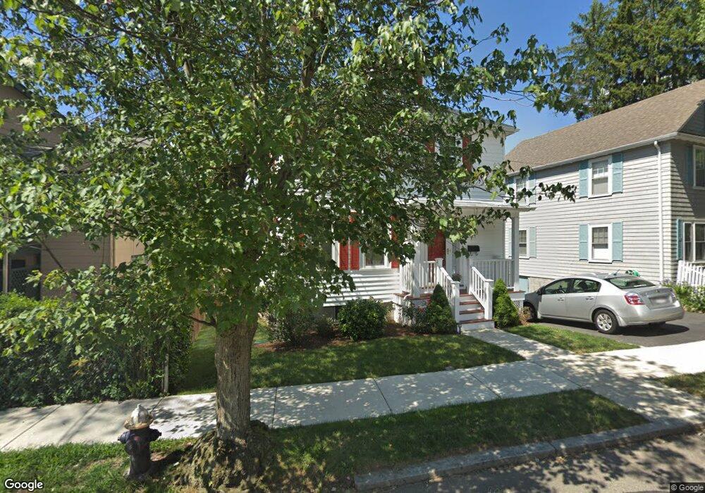
43 Loveland Rd Brookline, MA 02445
Chestnut Hill NeighborhoodEstimated Value: $1,290,580 - $1,768,000
3
Beds
1
Bath
1,344
Sq Ft
$1,091/Sq Ft
Est. Value
About This Home
This home is located at 43 Loveland Rd, Brookline, MA 02445 and is currently estimated at $1,465,645, approximately $1,090 per square foot. 43 Loveland Rd is a home located in Norfolk County with nearby schools including Heath Elementary School, Maimonides School, and Brimmer & May School.
Ownership History
Date
Name
Owned For
Owner Type
Purchase Details
Closed on
Oct 19, 2010
Sold by
Leary Ft and Leary Patricia A
Bought by
Walsh Dominic M and Walsh Nuala B
Current Estimated Value
Home Financials for this Owner
Home Financials are based on the most recent Mortgage that was taken out on this home.
Original Mortgage
$448,000
Outstanding Balance
$292,305
Interest Rate
4.13%
Mortgage Type
Adjustable Rate Mortgage/ARM
Estimated Equity
$1,173,340
Create a Home Valuation Report for This Property
The Home Valuation Report is an in-depth analysis detailing your home's value as well as a comparison with similar homes in the area
Home Values in the Area
Average Home Value in this Area
Purchase History
| Date | Buyer | Sale Price | Title Company |
|---|---|---|---|
| Walsh Dominic M | $560,000 | -- | |
| Walsh Dominic M | $560,000 | -- |
Source: Public Records
Mortgage History
| Date | Status | Borrower | Loan Amount |
|---|---|---|---|
| Open | Walsh Dominic M | $448,000 | |
| Closed | Walsh Dominic M | $448,000 |
Source: Public Records
Tax History Compared to Growth
Tax History
| Year | Tax Paid | Tax Assessment Tax Assessment Total Assessment is a certain percentage of the fair market value that is determined by local assessors to be the total taxable value of land and additions on the property. | Land | Improvement |
|---|---|---|---|---|
| 2025 | $11,406 | $1,155,600 | $666,100 | $489,500 |
| 2024 | $10,851 | $1,110,600 | $640,500 | $470,100 |
| 2023 | $10,396 | $1,042,700 | $580,700 | $462,000 |
| 2022 | $10,120 | $993,100 | $553,100 | $440,000 |
| 2021 | $8,873 | $905,400 | $531,800 | $373,600 |
| 2020 | $8,042 | $851,000 | $483,400 | $367,600 |
| 2019 | $7,594 | $810,500 | $460,400 | $350,100 |
| 2018 | $7,582 | $801,500 | $456,400 | $345,100 |
| 2017 | $7,470 | $756,100 | $430,600 | $325,500 |
| 2016 | $7,363 | $706,600 | $402,400 | $304,200 |
| 2015 | $7,053 | $660,400 | $376,100 | $284,300 |
| 2014 | $7,136 | $626,500 | $341,900 | $284,600 |
Source: Public Records
Map
Nearby Homes
- 675 Chestnut Hill Ave
- 55 Reservoir Rd Unit 2
- 30 Ackers Ave
- 540 Chestnut Hill Ave
- 88 Cutler Ln
- 120 Seaver St Unit A103
- 120 Seaver St Unit C-102
- 55 Leicester St
- 9 Willard Rd
- 130 Cabot St
- 142 Crafts Rd
- 372 Warren St
- 39 Clyde St
- 80 Dudley St
- 8 Strathmore Rd Unit G
- 17 Strathmore Rd Unit 2
- 333 Clark Rd
- 2400 Beacon St Unit 112
- 1014 Boylston St
- 469 Walnut St
- 39 Loveland Rd
- 67 Eliot St
- 67 Eliot St Unit B
- 67 Eliot St Unit A
- 67 Eliot St Unit 2
- 67 Eliot St Unit 1
- 71 Eliot St
- 35 Loveland Rd
- 75 Eliot St
- 77 Eliot St
- 77 Eliot St Unit SFR
- 48 Loveland Rd Unit 2
- 48 Loveland Rd Unit 1
- 42 Loveland Rd
- 42 Loveland Rd Unit 1
- 31 Loveland Rd
- 31 Loveland Rd Unit 1
- 52 Loveland Rd
- 79 Eliot St
- 36 Loveland Rd Unit 38