Estimated Value: $494,000 - $576,000
3
Beds
2
Baths
1,476
Sq Ft
$361/Sq Ft
Est. Value
About This Home
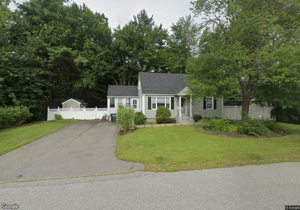
This home is located at 43 Maclarnon Rd, Salem, NH 03079 and is currently estimated at $533,170, approximately $361 per square foot. 43 Maclarnon Rd is a home located in Rockingham County with nearby schools including Dr. L.F. Soule School, Woodbury School, and Salem High School.
Ownership History
Date
Name
Owned For
Owner Type
Purchase Details
Closed on
Oct 30, 2020
Sold by
Delaney Clark W and Delaney Wendy L
Bought by
Borelli Aaron D and Barnard Amanda L
Current Estimated Value
Home Financials for this Owner
Home Financials are based on the most recent Mortgage that was taken out on this home.
Original Mortgage
$335,000
Outstanding Balance
$298,102
Interest Rate
2.8%
Mortgage Type
New Conventional
Estimated Equity
$235,068
Purchase Details
Closed on
Jun 29, 1995
Bought by
Delaney Clark W and Delaney Wendy L
Create a Home Valuation Report for This Property
The Home Valuation Report is an in-depth analysis detailing your home's value as well as a comparison with similar homes in the area
Purchase History
| Date | Buyer | Sale Price | Title Company |
|---|---|---|---|
| Borelli Aaron D | $375,000 | None Available | |
| Delaney Clark W | $115,000 | -- |
Source: Public Records
Mortgage History
| Date | Status | Borrower | Loan Amount |
|---|---|---|---|
| Open | Borelli Aaron D | $335,000 | |
| Previous Owner | Delaney Clark W | $246,500 |
Source: Public Records
Tax History
| Year | Tax Paid | Tax Assessment Tax Assessment Total Assessment is a certain percentage of the fair market value that is determined by local assessors to be the total taxable value of land and additions on the property. | Land | Improvement |
|---|---|---|---|---|
| 2024 | $7,063 | $401,300 | $150,800 | $250,500 |
| 2023 | $6,806 | $401,300 | $150,800 | $250,500 |
| 2022 | $6,099 | $380,000 | $150,800 | $229,200 |
| 2021 | $6,072 | $380,000 | $150,800 | $229,200 |
| 2020 | $5,516 | $250,500 | $107,800 | $142,700 |
| 2019 | $5,506 | $250,500 | $107,800 | $142,700 |
| 2018 | $5,396 | $249,700 | $107,800 | $141,900 |
| 2017 | $5,204 | $249,700 | $107,800 | $141,900 |
| 2016 | $5,101 | $249,700 | $107,800 | $141,900 |
| 2015 | $4,637 | $216,800 | $111,500 | $105,300 |
| 2014 | $4,507 | $216,800 | $111,500 | $105,300 |
| 2013 | $4,436 | $216,800 | $111,500 | $105,300 |
Source: Public Records
Map
Nearby Homes
- 117 Cluff Crossing Rd Unit 7
- 37 Brady Ave
- 53 Hagop Rd
- 99 Cluff Crossing Rd Unit E9
- 99 Cluff Crossing Rd Unit C12
- 14 Hagop Rd
- 11 Tiffany Rd Unit 1
- 14 Tiffany Rd Unit 6
- 2 Muse Terrace
- 18 Artisan Dr Unit 307
- 18 Artisan Dr Unit 401
- 18 Artisan Dr Unit 505
- 18 Artisan Dr Unit 207
- 18 Artisan Dr Unit 217
- 59 Cluff Rd Unit 80
- 59 Cluff Rd Unit 62
- 10 Braemoor Woods Rd Unit 401
- 92 Lowell Rd
- 1 Milano Way Unit 69
- 146 Hampshire Rd
- 45 Maclarnon Rd
- 15 Macgregor Ave
- 17 Macgregor Ave
- 38 Maclarnon Rd
- 6 Macfarland Rd
- 12 Macfarland Rd
- 36 Maclarnon Rd
- 13 Macgregor Ave
- 34 Maclarnon Rd
- 16 Macgregor Ave
- 24 Macgregor Ave
- 22 Macgregor Ave
- 10 Maclarnon Rd
- 4 Macfarland Rd
- 8 Maclarnon Rd
- 9 Macfarland Rd
- 7 Macfarland Rd
- 12 Maclarnon Rd
- 5 Macfarland Rd
- 32 Maclarnon Rd
Your Personal Tour Guide
Ask me questions while you tour the home.