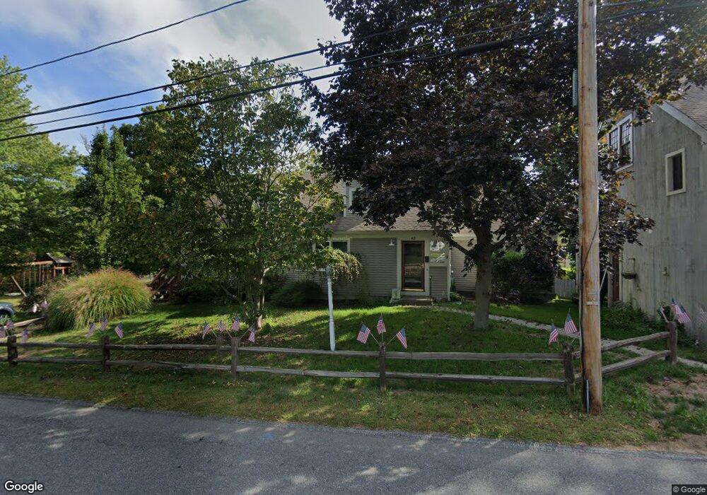
43 Mann Lot Rd Scituate, MA 02066
Estimated Value: $918,202 - $1,098,000
4
Beds
2
Baths
2,346
Sq Ft
$441/Sq Ft
Est. Value
About This Home
This home is located at 43 Mann Lot Rd, Scituate, MA 02066 and is currently estimated at $1,034,051, approximately $440 per square foot. 43 Mann Lot Rd is a home located in Plymouth County with nearby schools including Cushing Elementary School, Lester J. Gates Middle School, and Scituate High School.
Ownership History
Date
Name
Owned For
Owner Type
Purchase Details
Closed on
Mar 29, 2025
Sold by
Mclaughlin Harold E and Mclaughlin Diane M
Bought by
Mclaughlin Mann Lot Rd T and Mclaughlin
Current Estimated Value
Purchase Details
Closed on
Dec 31, 2003
Sold by
Mclaughlin Diane M
Bought by
Mclaughlin Harold E and Mclaughlin Diane M
Purchase Details
Closed on
Jan 1, 1977
Bought by
Mclaughlin Harold E and Mclaughlin Diane M
Create a Home Valuation Report for This Property
The Home Valuation Report is an in-depth analysis detailing your home's value as well as a comparison with similar homes in the area
Home Values in the Area
Average Home Value in this Area
Purchase History
| Date | Buyer | Sale Price | Title Company |
|---|---|---|---|
| Mclaughlin Mann Lot Rd T | -- | None Available | |
| Mclaughlin Mann Lot Rd T | -- | None Available | |
| Mclaughlin Harold E | -- | -- | |
| Mclaughlin Harold E | -- | -- | |
| Mclaughlin Harold E | -- | -- |
Source: Public Records
Mortgage History
| Date | Status | Borrower | Loan Amount |
|---|---|---|---|
| Previous Owner | Mclaughlin Harold E | $30,000 | |
| Previous Owner | Mclaughlin Harold E | $97,000 | |
| Previous Owner | Mclaughlin Harold E | $35,000 |
Source: Public Records
Tax History Compared to Growth
Tax History
| Year | Tax Paid | Tax Assessment Tax Assessment Total Assessment is a certain percentage of the fair market value that is determined by local assessors to be the total taxable value of land and additions on the property. | Land | Improvement |
|---|---|---|---|---|
| 2025 | $7,577 | $758,500 | $355,200 | $403,300 |
| 2024 | $7,503 | $724,200 | $322,900 | $401,300 |
| 2023 | $7,599 | $673,400 | $310,800 | $362,600 |
| 2022 | $7,599 | $602,100 | $297,300 | $304,800 |
| 2021 | $7,289 | $546,800 | $283,100 | $263,700 |
| 2020 | $7,069 | $523,600 | $272,200 | $251,400 |
| 2019 | $6,979 | $507,900 | $266,900 | $241,000 |
| 2018 | $7,021 | $503,300 | $277,900 | $225,400 |
| 2017 | $6,935 | $492,200 | $266,800 | $225,400 |
| 2016 | $6,644 | $469,900 | $244,500 | $225,400 |
| 2015 | $6,010 | $458,800 | $233,400 | $225,400 |
Source: Public Records
Map
Nearby Homes
- 11 Forest Ln
- 9 Forest Ln Unit 9
- 112 Hollett St
- 16 3 Ring Rd
- 9 Kyle Path
- 84 Booth Hill Rd
- 26 Mordecai Lincoln Rd
- 14 Aberdeen Dr
- 8 Trudys Ln
- 59 Captain Peirce Rd
- 817 Country Way
- 7 Border St
- 13 Hornbeam Rd
- 54 Woodland Rd
- 32 Fairview Ave
- 392 S Main St
- 40 Brewster Rd
- 2 Windward Ln
- 29 Country Club Cir
- 22 Kings Way