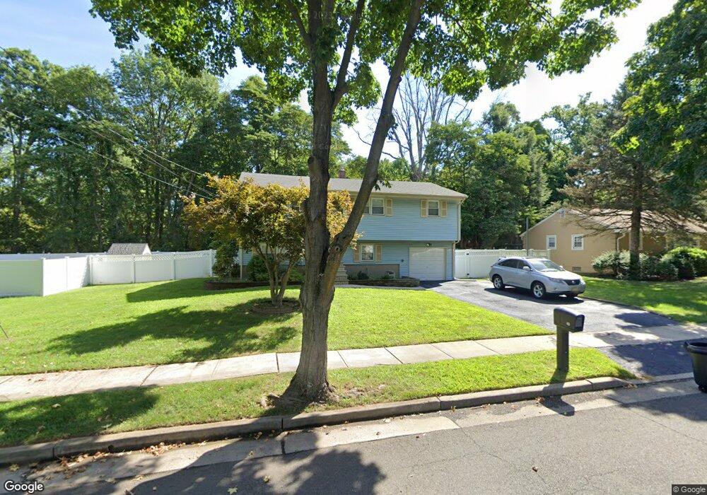
43 Michael St Piscataway, NJ 08854
Estimated Value: $607,000 - $696,000
5
Beds
3
Baths
1,854
Sq Ft
$356/Sq Ft
Est. Value
About This Home
This home is located at 43 Michael St, Piscataway, NJ 08854 and is currently estimated at $659,212, approximately $355 per square foot. 43 Michael St is a home located in Middlesex County with nearby schools including Grandview Elementary School, Arbor Intermediate School, and Theodore Schor Middle School.
Ownership History
Date
Name
Owned For
Owner Type
Purchase Details
Closed on
May 23, 2008
Sold by
Ojini Ignatius and Ojini Evelyn
Bought by
Staggers Lashea
Current Estimated Value
Home Financials for this Owner
Home Financials are based on the most recent Mortgage that was taken out on this home.
Original Mortgage
$238,500
Outstanding Balance
$152,848
Interest Rate
6.11%
Mortgage Type
Purchase Money Mortgage
Estimated Equity
$506,364
Purchase Details
Closed on
May 28, 1998
Sold by
Carney Thomas
Bought by
Ojini Ignatius and Ojini Evelyn
Home Financials for this Owner
Home Financials are based on the most recent Mortgage that was taken out on this home.
Original Mortgage
$156,000
Interest Rate
6.99%
Mortgage Type
FHA
Create a Home Valuation Report for This Property
The Home Valuation Report is an in-depth analysis detailing your home's value as well as a comparison with similar homes in the area
Home Values in the Area
Average Home Value in this Area
Purchase History
| Date | Buyer | Sale Price | Title Company |
|---|---|---|---|
| Staggers Lashea | $265,000 | None Available | |
| Ojini Ignatius | $158,000 | -- |
Source: Public Records
Mortgage History
| Date | Status | Borrower | Loan Amount |
|---|---|---|---|
| Open | Staggers Lashea | $238,500 | |
| Previous Owner | Ojini Ignatius | $156,000 |
Source: Public Records
Tax History
| Year | Tax Paid | Tax Assessment Tax Assessment Total Assessment is a certain percentage of the fair market value that is determined by local assessors to be the total taxable value of land and additions on the property. | Land | Improvement |
|---|---|---|---|---|
| 2025 | $8,809 | $584,000 | $321,900 | $262,100 |
| 2024 | $8,617 | $456,400 | $207,700 | $248,700 |
| 2023 | $8,617 | $417,100 | $207,700 | $209,400 |
| 2022 | $8,530 | $383,200 | $207,700 | $175,500 |
| 2021 | $7,831 | $338,000 | $195,200 | $142,800 |
| 2020 | $8,282 | $358,200 | $195,200 | $163,000 |
| 2019 | $7,765 | $330,000 | $195,200 | $134,800 |
| 2018 | $7,544 | $322,100 | $195,200 | $126,900 |
| 2017 | $7,057 | $260,300 | $145,200 | $115,100 |
| 2016 | $6,929 | $260,300 | $145,200 | $115,100 |
| 2015 | $6,825 | $260,300 | $145,200 | $115,100 |
| 2014 | $6,674 | $260,300 | $145,200 | $115,100 |
Source: Public Records
Map
Nearby Homes
- 61 Parkside Ave
- 36 Lehigh Ave
- 1 Hall St
- 6 Wilton Ave
- 364 S Madison Ave
- 309-311 Pulaski St
- 47 Gramercy Gardens Unit B
- 47B Gramercy Gardens Unit B
- 286 William St
- 577 S South Ave S
- 3 Lily Ln
- 124 Cindy Ct
- 139 Lee Dr
- 821 Front St
- 820 Front St
- 160 Grandview Ave
- 107 Zoar Place
- 21 Dahlia Ct
- 96 Dupont Ave
- 245 William St
Your Personal Tour Guide
Ask me questions while you tour the home.