43 Nichols Rd Orleans, MA 02653
Estimated Value: $2,610,000 - $3,331,715
3
Beds
4
Baths
3,600
Sq Ft
$849/Sq Ft
Est. Value
About This Home
This home is located at 43 Nichols Rd, Orleans, MA 02653 and is currently estimated at $3,056,572, approximately $849 per square foot. 43 Nichols Rd is a home located in Barnstable County with nearby schools including Orleans Elementary School, Nauset Regional Middle School, and Nauset Regional High School.
Ownership History
Date
Name
Owned For
Owner Type
Purchase Details
Closed on
Jun 28, 2007
Sold by
Smith Ft and Smith Carolyn Chick
Bought by
Richard C Smith Ft and Smith Carolyn Chick
Current Estimated Value
Purchase Details
Closed on
Dec 1, 1997
Sold by
Cara T and Ramirez Lucia
Bought by
Smith Richard C and Smith Carolyn
Purchase Details
Closed on
Apr 12, 1995
Sold by
Nichols Ft and Mcginley Katherine N
Bought by
Ramirez Carlos
Create a Home Valuation Report for This Property
The Home Valuation Report is an in-depth analysis detailing your home's value as well as a comparison with similar homes in the area
Home Values in the Area
Average Home Value in this Area
Purchase History
| Date | Buyer | Sale Price | Title Company |
|---|---|---|---|
| Richard C Smith Ft | -- | -- | |
| Smith Richard C | $362,000 | -- | |
| Ramirez Carlos | $325,000 | -- | |
| Bell Family Qual Perso | $2,000,000 | -- | |
| Smith Richard C | $362,000 | -- | |
| Ramirez Carlos | $325,000 | -- |
Source: Public Records
Mortgage History
| Date | Status | Borrower | Loan Amount |
|---|---|---|---|
| Previous Owner | Ramirez Carlos | $265,000 | |
| Previous Owner | Ramirez Carlos | $100,000 |
Source: Public Records
Tax History Compared to Growth
Tax History
| Year | Tax Paid | Tax Assessment Tax Assessment Total Assessment is a certain percentage of the fair market value that is determined by local assessors to be the total taxable value of land and additions on the property. | Land | Improvement |
|---|---|---|---|---|
| 2025 | $18,835 | $3,018,400 | $1,421,400 | $1,597,000 |
| 2024 | $17,571 | $2,741,200 | $1,393,300 | $1,347,900 |
| 2023 | $15,877 | $2,548,400 | $1,290,300 | $1,258,100 |
| 2022 | $15,576 | $2,163,300 | $1,173,000 | $990,300 |
| 2021 | $15,370 | $1,960,500 | $1,171,400 | $789,100 |
| 2020 | $14,706 | $1,945,200 | $1,171,400 | $773,800 |
| 2019 | $14,039 | $1,897,100 | $1,138,700 | $758,400 |
| 2018 | $12,212 | $1,841,900 | $1,116,800 | $725,100 |
| 2017 | $11,576 | $1,828,700 | $1,116,800 | $711,900 |
| 2016 | $11,663 | $1,805,400 | $1,107,700 | $697,700 |
| 2015 | $11,393 | $1,774,600 | $1,085,900 | $688,700 |
Source: Public Records
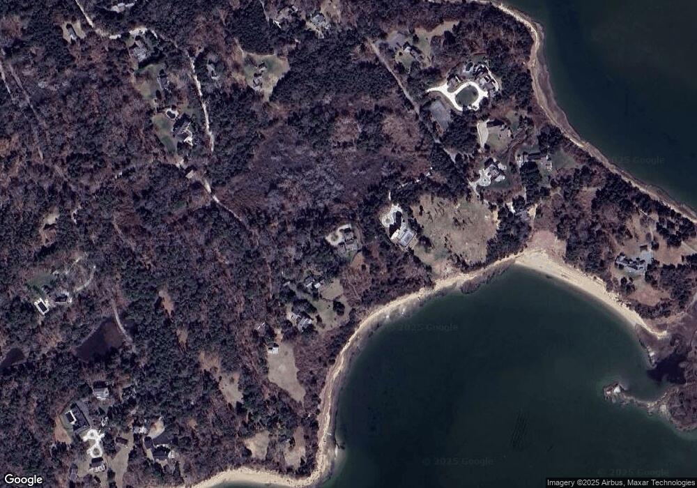
Map
Nearby Homes
- 63 Field Rd
- 63 Old Field Rd
- 11 Fox Ridge Dr
- 64 Pershing Ln
- 5 Kidd Way
- 15 Dale Ann Dr
- 25 Pleasant View Dr
- 24 Sparrowhawk Rd
- 131 Pochet Rd
- 7 Brick Hill Rd
- 7 Brick Hill Ext Rd
- 36 Cedar Land Rd
- 34 Cedar Land Rd
- 66 Tides End Ln
- 7 Lockwood Ln
- 75 Areys Ln
- 75 Monument Rd
- 11 Cedar Land Rd
- 12 Windswept Ln
- 11 Little Marsh Ln