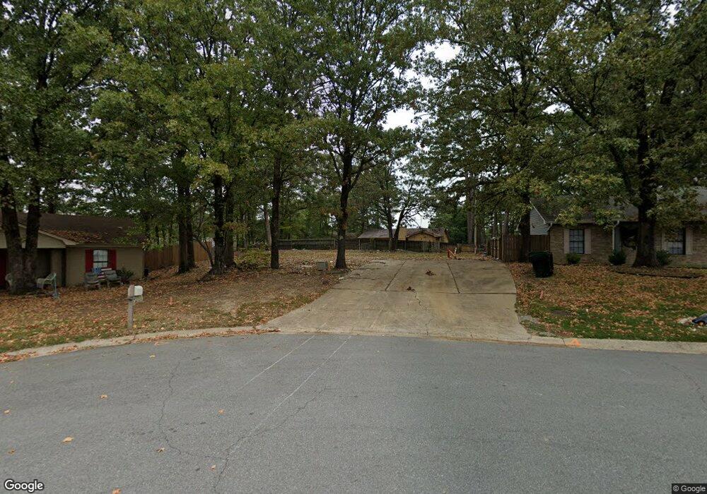
43 Point West Cir Little Rock, AR 72211
Chenal NeighborhoodEstimated Value: $24,576 - $305,000
--
Bed
4
Baths
2,652
Sq Ft
$80/Sq Ft
Est. Value
About This Home
This home is located at 43 Point West Cir, Little Rock, AR 72211 and is currently estimated at $213,144, approximately $80 per square foot. 43 Point West Cir is a home located in Pulaski County with nearby schools including Terry Elementary School, Pinnacle View Middle School, and LISA Academy West Elementary School.
Ownership History
Date
Name
Owned For
Owner Type
Purchase Details
Closed on
Jul 7, 2023
Sold by
Tisdale Toni L
Bought by
Su Casa Llc
Current Estimated Value
Purchase Details
Closed on
Dec 17, 2004
Sold by
Tisdale Tori Michelle
Bought by
Tisdale Toni L
Home Financials for this Owner
Home Financials are based on the most recent Mortgage that was taken out on this home.
Original Mortgage
$77,153
Interest Rate
5.76%
Mortgage Type
Stand Alone Refi Refinance Of Original Loan
Create a Home Valuation Report for This Property
The Home Valuation Report is an in-depth analysis detailing your home's value as well as a comparison with similar homes in the area
Home Values in the Area
Average Home Value in this Area
Purchase History
| Date | Buyer | Sale Price | Title Company |
|---|---|---|---|
| Su Casa Llc | $20,000 | American Abstract & Title | |
| Tisdale Toni L | -- | -- |
Source: Public Records
Mortgage History
| Date | Status | Borrower | Loan Amount |
|---|---|---|---|
| Previous Owner | Tisdale Toni L | $77,153 |
Source: Public Records
Tax History Compared to Growth
Tax History
| Year | Tax Paid | Tax Assessment Tax Assessment Total Assessment is a certain percentage of the fair market value that is determined by local assessors to be the total taxable value of land and additions on the property. | Land | Improvement |
|---|---|---|---|---|
| 2025 | $280 | $4,000 | $4,000 | -- |
| 2024 | $429 | $4,000 | $4,000 | -- |
| 2023 | $429 | $6,125 | $4,000 | $2,125 |
| 2022 | $2,720 | $45,574 | $4,000 | $41,574 |
| 2021 | $2,609 | $37,010 | $5,300 | $31,710 |
| 2020 | $2,216 | $37,010 | $5,300 | $31,710 |
| 2019 | $2,216 | $37,010 | $5,300 | $31,710 |
| 2018 | $2,241 | $37,010 | $5,300 | $31,710 |
| 2017 | $2,241 | $37,010 | $5,300 | $31,710 |
| 2016 | $2,140 | $35,570 | $5,000 | $30,570 |
| 2015 | $2,444 | $35,570 | $5,000 | $30,570 |
| 2014 | $2,444 | $34,865 | $5,000 | $29,865 |
Source: Public Records
Map
Nearby Homes
- 714 Atkins Rd
- 814 Atkins Rd
- 624 Gamble Rd
- 000 Coleman Ave
- 12621 Valleywood Dr
- 13100 Kanis Rd
- 23 Wagon Wheel Ct
- 110 Carriage Creek
- 13020 Archer Ln
- 13204 Laurel Oaks Dr
- 1105 Nix Rd
- 1109 Nix Rd
- 1115 Nix Rd
- 311 Nix Rd
- 400 Nix Rd
- 310 Nix Rd
- 12825 Westglen Dr
- 28 Elkrun Cove
- 1509 Gamble Rd
- 309 Shadow Ridge Dr
- 45 Point West Cir
- 45 Point Cir W
- 41 Point West Cir
- 7 Timber Ridge Ct
- 6 Timber Ridge Ct
- 47 Point West Cir
- 39 Point West Cir
- 710 Atkins Rd
- 5 Timber Ridge Ct
- 49 Point West Cir
- 49 Point Cir W
- 37 Point West Cir
- 718 Atkins Rd
- 46 Point West Cir
- 720 Atkins Rd
- 4 Timber Ridge Ct
- 38 Point West Cir
- 38 Point Cir W
- 3 Timber Ridge Ct
- 48 Point West Cir