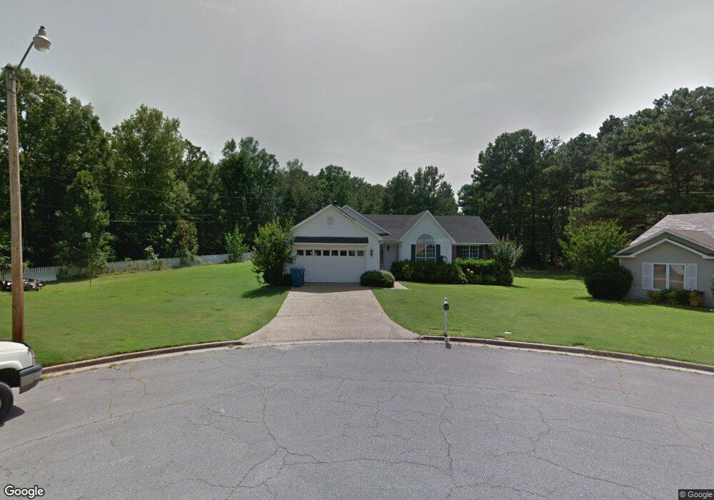
43 Pointer Dr Alexander, AR 72002
Estimated Value: $171,255 - $206,000
Studio
2
Baths
1,572
Sq Ft
$122/Sq Ft
Est. Value
About This Home
This home is located at 43 Pointer Dr, Alexander, AR 72002 and is currently estimated at $192,064, approximately $122 per square foot. 43 Pointer Dr is a home located in Pulaski County with nearby schools including Mabelvale Elementary School, Mabelvale Middle School, and Little Rock Southwest High School.
Ownership History
Date
Name
Owned For
Owner Type
Purchase Details
Closed on
Oct 1, 2024
Sold by
Halpine Michael and Halpine Ruth
Bought by
Michael And Ruth Halpine Living Trust and Halpine
Current Estimated Value
Purchase Details
Closed on
Sep 22, 2004
Sold by
Halpine Arlinda and Halpine Michael
Bought by
Halpine Michael and Halpine Arlinda
Home Financials for this Owner
Home Financials are based on the most recent Mortgage that was taken out on this home.
Original Mortgage
$67,100
Interest Rate
5.22%
Mortgage Type
Purchase Money Mortgage
Create a Home Valuation Report for This Property
The Home Valuation Report is an in-depth analysis detailing your home's value as well as a comparison with similar homes in the area
Home Values in the Area
Average Home Value in this Area
Purchase History
| Date | Buyer | Sale Price | Title Company |
|---|---|---|---|
| Michael And Ruth Halpine Living Trust | -- | None Listed On Document | |
| Halpine Michael | -- | -- |
Source: Public Records
Mortgage History
| Date | Status | Borrower | Loan Amount |
|---|---|---|---|
| Previous Owner | Halpine Michael | $67,100 |
Source: Public Records
Tax History
| Year | Tax Paid | Tax Assessment Tax Assessment Total Assessment is a certain percentage of the fair market value that is determined by local assessors to be the total taxable value of land and additions on the property. | Land | Improvement |
|---|---|---|---|---|
| 2025 | $1,707 | $24,388 | $6,800 | $17,588 |
| 2024 | $1,504 | $24,388 | $6,800 | $17,588 |
| 2023 | $1,504 | $24,388 | $6,800 | $17,588 |
| 2022 | $1,378 | $24,388 | $6,800 | $17,588 |
| 2021 | $1,262 | $17,900 | $10,000 | $7,900 |
| 2020 | $1,253 | $17,900 | $10,000 | $7,900 |
| 2019 | $1,253 | $17,900 | $10,000 | $7,900 |
| 2018 | $1,253 | $17,900 | $10,000 | $7,900 |
| 2017 | $1,253 | $17,900 | $10,000 | $7,900 |
| 2016 | $2,060 | $29,430 | $12,000 | $17,430 |
| 2015 | $2,063 | $29,430 | $12,000 | $17,430 |
| 2014 | $2,063 | $29,427 | $12,000 | $17,427 |
Source: Public Records
Map
Nearby Homes
- 27 Pointer Dr
- 13200 Vimy Ridge Rd
- 12601 County Line Rd
- 14025 Cottontail Ln
- 26 Mountain Vista Dr
- 23 Whispering Dr
- 13820 Dynasty Cove
- 12332 Loganberry Dr
- 13701 Dynasty Dr
- 14200 Cherylwood Rd
- 1007 Clinton Ct
- 2000 Reagan Cove
- 14422 Joan Dr
- 11000 Donnie Dr
- 13725 Clayton Dr
- 5010 Boulder Point Dr
- 0 Raymond Meyer Rd Unit 25041247
- 28 Kelli Place
- 13825 Bonnie Ln
- 00 Single Pine Dr
Your Personal Tour Guide
Ask me questions while you tour the home.