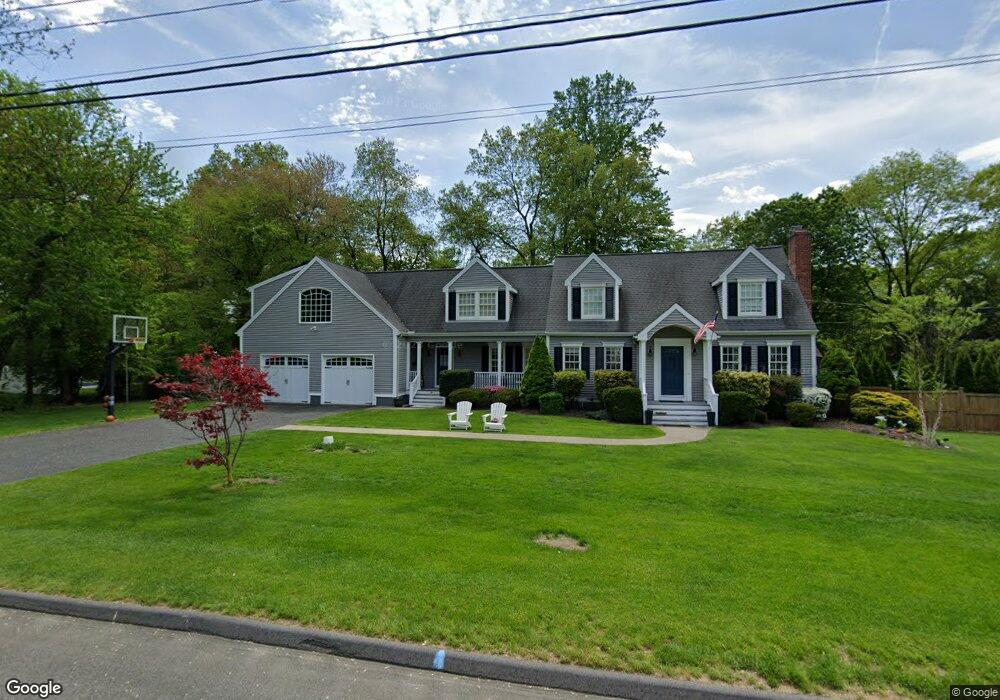
43 Rangely Dr Trumbull, CT 06611
West Trumbull NeighborhoodEstimated Value: $726,000 - $863,337
4
Beds
4
Baths
3,124
Sq Ft
$265/Sq Ft
Est. Value
About This Home
This home is located at 43 Rangely Dr, Trumbull, CT 06611 and is currently estimated at $827,334, approximately $264 per square foot. 43 Rangely Dr is a home located in Fairfield County with nearby schools including Jane Ryan School, Madison Middle School, and Trumbull High School.
Ownership History
Date
Name
Owned For
Owner Type
Purchase Details
Closed on
Sep 19, 2018
Sold by
Dunne William and Dunne Marlise
Bought by
Lyden Alison and Lyden John
Current Estimated Value
Home Financials for this Owner
Home Financials are based on the most recent Mortgage that was taken out on this home.
Original Mortgage
$448,000
Outstanding Balance
$389,878
Interest Rate
4.5%
Mortgage Type
Purchase Money Mortgage
Estimated Equity
$437,456
Purchase Details
Closed on
Feb 27, 1997
Sold by
Eng Patricia and Fry Margaret M
Bought by
Dunne Marlise A
Create a Home Valuation Report for This Property
The Home Valuation Report is an in-depth analysis detailing your home's value as well as a comparison with similar homes in the area
Home Values in the Area
Average Home Value in this Area
Purchase History
| Date | Buyer | Sale Price | Title Company |
|---|---|---|---|
| Lyden Alison | $560,000 | -- | |
| Dunne Marlise A | $182,000 | -- |
Source: Public Records
Mortgage History
| Date | Status | Borrower | Loan Amount |
|---|---|---|---|
| Open | Dunne Marlise A | $448,000 | |
| Previous Owner | Dunne Marlise A | $59,000 | |
| Previous Owner | Dunne Marlise A | $410,000 |
Source: Public Records
Tax History
| Year | Tax Paid | Tax Assessment Tax Assessment Total Assessment is a certain percentage of the fair market value that is determined by local assessors to be the total taxable value of land and additions on the property. | Land | Improvement |
|---|---|---|---|---|
| 2025 | $13,779 | $374,990 | $155,540 | $219,450 |
| 2024 | $13,389 | $374,990 | $155,540 | $219,450 |
| 2023 | $13,176 | $374,990 | $155,540 | $219,450 |
| 2022 | $12,963 | $374,990 | $155,540 | $219,450 |
| 2021 | $12,136 | $333,760 | $129,640 | $204,120 |
| 2020 | $11,903 | $333,760 | $129,640 | $204,120 |
| 2018 | $11,637 | $333,760 | $129,640 | $204,120 |
| 2017 | $11,421 | $333,760 | $129,640 | $204,120 |
| 2016 | $11,128 | $333,760 | $129,640 | $204,120 |
| 2015 | $11,259 | $336,400 | $129,600 | $206,800 |
| 2014 | $11,020 | $336,400 | $129,600 | $206,800 |
Source: Public Records
Map
Nearby Homes
- 215 Fernwood Rd
- 40 Rose Terrace
- 26 Grove St
- 253 Mayfield Dr Unit 253
- 177 Mayfield Dr
- lot 194 Prospect Ave
- 25 Plymouth Ave
- 18 Ridgebury Dr
- Lot 31 Valley View Rd
- 39 Zephyr Rd
- 0 Main St
- 132 Merrimac Dr
- 35 Sturbridge Rd
- 121 Campbell Rd
- 3432 Old Town Rd
- 8 Raleigh Rd
- 65 Bonnie View Dr
- 3460 Old Town Rd
- 3125 Old Town Rd
- 30 Windy Ridge
Your Personal Tour Guide
Ask me questions while you tour the home.