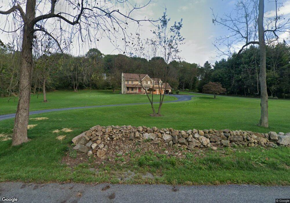
43 Saint Andrews Ln Glenmoore, PA 19343
West Vincent Township NeighborhoodEstimated Value: $705,828 - $868,000
5
Beds
3
Baths
2,616
Sq Ft
$290/Sq Ft
Est. Value
About This Home
This home is located at 43 Saint Andrews Ln, Glenmoore, PA 19343 and is currently estimated at $758,207, approximately $289 per square foot. 43 Saint Andrews Ln is a home located in Chester County with nearby schools including West Vincent Elementary School, Owen J Roberts Middle School, and Owen J Roberts High School.
Ownership History
Date
Name
Owned For
Owner Type
Purchase Details
Closed on
Jul 12, 2001
Sold by
Mokhallalati Mohamed K
Bought by
Rim Mokhallalati Mohamed K and Rim Bakir
Current Estimated Value
Home Financials for this Owner
Home Financials are based on the most recent Mortgage that was taken out on this home.
Original Mortgage
$195,000
Interest Rate
7.14%
Create a Home Valuation Report for This Property
The Home Valuation Report is an in-depth analysis detailing your home's value as well as a comparison with similar homes in the area
Home Values in the Area
Average Home Value in this Area
Purchase History
| Date | Buyer | Sale Price | Title Company |
|---|---|---|---|
| Rim Mokhallalati Mohamed K | -- | Stewart Title Guaranty Compa |
Source: Public Records
Mortgage History
| Date | Status | Borrower | Loan Amount |
|---|---|---|---|
| Closed | Rim Mokhallalati Mohamed K | $195,000 |
Source: Public Records
Tax History Compared to Growth
Tax History
| Year | Tax Paid | Tax Assessment Tax Assessment Total Assessment is a certain percentage of the fair market value that is determined by local assessors to be the total taxable value of land and additions on the property. | Land | Improvement |
|---|---|---|---|---|
| 2025 | $9,723 | $236,190 | $69,260 | $166,930 |
| 2024 | $9,723 | $236,190 | $69,260 | $166,930 |
| 2023 | $9,582 | $236,190 | $69,260 | $166,930 |
| 2022 | $9,427 | $236,190 | $69,260 | $166,930 |
| 2021 | $9,312 | $236,190 | $69,260 | $166,930 |
| 2020 | $9,073 | $236,190 | $69,260 | $166,930 |
| 2019 | $8,903 | $236,190 | $69,260 | $166,930 |
| 2018 | $8,730 | $236,190 | $69,260 | $166,930 |
| 2017 | $8,524 | $236,190 | $69,260 | $166,930 |
| 2016 | $7,113 | $236,190 | $69,260 | $166,930 |
| 2015 | $7,113 | $236,190 | $69,260 | $166,930 |
| 2014 | $7,113 | $236,190 | $69,260 | $166,930 |
Source: Public Records
Map
Nearby Homes
- 550 Font Rd
- 200 Black Horse Rd
- 1816 Pottstown Pike
- 214 Windgate Dr
- 38 Yarmouth Ln
- 35 Yarmouth Ln
- 741 Sun Valley Ct
- 618 Kent Ct
- 726 Sun Valley Ct
- 1324 Fairview Rd
- 475 Fairmont Dr Unit 237
- 1910 Cavalier Ln
- 21 Ludwigs Crossing Ln
- 955 Pinehurst Dr
- 32 Mcleod Pond Rd
- 439 Fairmont Dr
- 380 Styer Rd
- 1010 Linden Ave
- 1245 Fairview Rd
- 411 Fairmont Dr
- 41 Saint Andrews Ln
- 45 Saint Andrews Ln
- 49 Saint Andrews Ln
- 44 Saint Andrews Ln
- 2 Kiloran Wynd
- 50 Saint Andrews Ln
- 47 Saint Andrews Ln
- 60 Saint Andrews Ln
- 3 Kiloran Wynd
- 35 Saint Andrews Ln
- 32 Bryan Wynd
- 70 Saint Andrews Ln
- 37 Saint Andrews Ln
- 69 Saint Andrews Ln
- 5 Kiloran Wynd
- 33 Saint Andrews Ln
- 28 Bryan Wynd
- 80 Saint Andrews Ln
- 7 Kiloran Wynd
- 31 Saint Andrews Ln