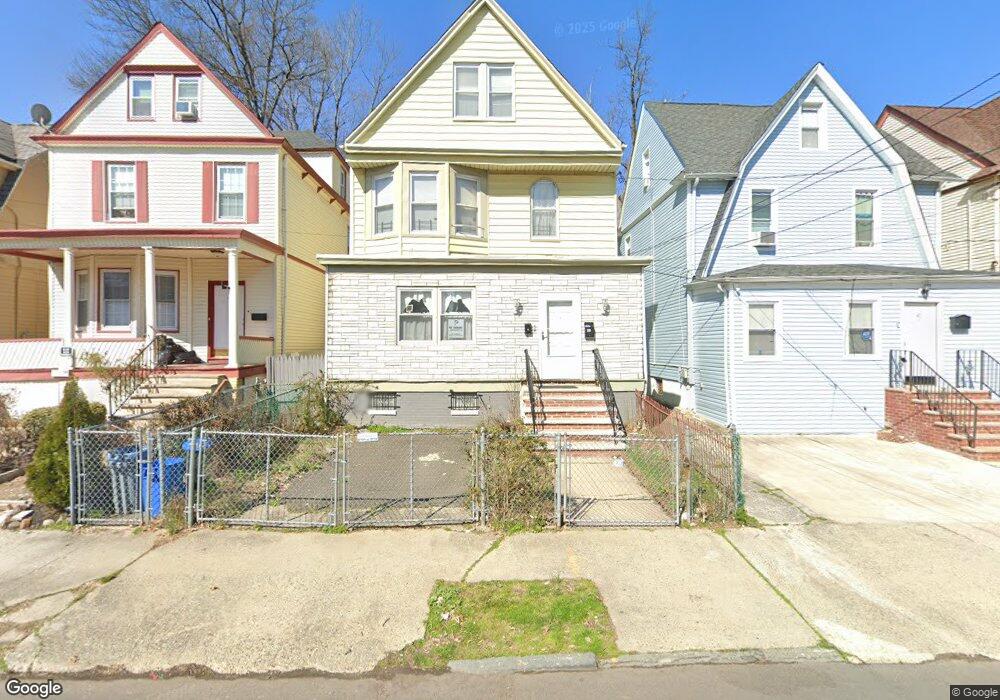
43 Saint Paul Ave Unit 1 Newark, NJ 07106
Upper Vailsburg NeighborhoodEstimated Value: $416,952 - $554,000
1
Bed
1
Bath
1,934
Sq Ft
$256/Sq Ft
Est. Value
About This Home
This home is located at 43 Saint Paul Ave Unit 1, Newark, NJ 07106 and is currently estimated at $495,488, approximately $256 per square foot. 43 Saint Paul Ave Unit 1 is a home located in Essex County with nearby schools including Lincoln Elementary School, Mt. Vernon School, and Hawthorne Avenue Elementary School.
Ownership History
Date
Name
Owned For
Owner Type
Purchase Details
Closed on
Nov 1, 2016
Sold by
Louls Marie E
Bought by
Louis Marle E
Current Estimated Value
Purchase Details
Closed on
Aug 4, 1993
Sold by
Louis Jean Fritz
Bought by
Louis Jean Fritz and Louis Pierre,Marie E
Purchase Details
Closed on
May 28, 1992
Sold by
European American Bank
Bought by
Louis Jean Fritz
Purchase Details
Closed on
Nov 14, 1991
Sold by
Fontoura Armando B Sheriff
Bought by
European American Bank
Purchase Details
Closed on
Apr 12, 1990
Sold by
Thom Gloria and Thom Lincoln
Bought by
Eastman Kathleen
Create a Home Valuation Report for This Property
The Home Valuation Report is an in-depth analysis detailing your home's value as well as a comparison with similar homes in the area
Home Values in the Area
Average Home Value in this Area
Purchase History
| Date | Buyer | Sale Price | Title Company |
|---|---|---|---|
| Louis Marle E | -- | None Available | |
| Louis Jean Fritz | -- | -- | |
| Louis Jean Fritz | $85,000 | -- | |
| Louis Jean Fritz | $85,000 | -- | |
| European American Bank | $49,100 | -- | |
| Eastman Kathleen | -- | -- |
Source: Public Records
Tax History Compared to Growth
Tax History
| Year | Tax Paid | Tax Assessment Tax Assessment Total Assessment is a certain percentage of the fair market value that is determined by local assessors to be the total taxable value of land and additions on the property. | Land | Improvement |
|---|---|---|---|---|
| 2025 | $5,324 | $142,800 | $23,000 | $119,800 |
| 2024 | $5,324 | $142,800 | $23,000 | $119,800 |
| 2022 | $5,335 | $142,800 | $23,000 | $119,800 |
| 2021 | $5,332 | $142,800 | $23,000 | $119,800 |
| 2020 | $5,426 | $142,800 | $23,000 | $119,800 |
| 2019 | $5,371 | $142,800 | $23,000 | $119,800 |
| 2018 | $5,274 | $142,800 | $23,000 | $119,800 |
| 2017 | $5,084 | $142,800 | $23,000 | $119,800 |
| 2016 | $4,912 | $142,800 | $23,000 | $119,800 |
| 2015 | $4,725 | $142,800 | $23,000 | $119,800 |
| 2014 | $4,428 | $142,800 | $23,000 | $119,800 |
Source: Public Records
Map
Nearby Homes
- 27 Montrose St
- 19 Dover St
- 21-23 Eastern Pkwy
- 15 Richelieu Place
- 1 S Stanley Rd
- 109 Richelieu Terrace
- 20-22 Noll Place
- 28 S Centre St
- 513 Sanford Ave
- 68 Richelieu Place Unit 70
- 68-70 Richelieu Place
- 170 Oakland Terrace
- 170 Oakland Terrace Unit 2
- 279 Smith St
- 311 Smith St
- 117 Reynolds Place
- 1080-1084 18th Ave
- 1080 18th Ave
- 57-59 Poe Ave
- 67 Mead St
- 43 Saint Paul Ave
- 41 Saint Paul Ave
- 45 Saint Paul Ave
- 41 St Paul Ave
- 47 Saint Paul Ave
- 39 Saint Paul Ave
- 35 Saint Paul Ave Unit 37
- 36 Dover St Unit 38
- 40 Dover St
- 34 Dover St
- 42 Dover St
- 33 Saint Paul Ave
- 32 Dover St
- 49 Saint Paul Ave
- 42 Saint Paul Ave Unit 44
- 31 Saint Paul Ave
- 46 Saint Paul Ave
- 28 Dover St Unit 30
- 51 Saint Paul Ave
- 40 Saint Paul Ave