43 Scat Rd Colebrook, NH 03576
Estimated Value: $178,000 - $403,148
3
Beds
1
Bath
1,319
Sq Ft
$214/Sq Ft
Est. Value
About This Home
This home is located at 43 Scat Rd, Colebrook, NH 03576 and is currently estimated at $281,787, approximately $213 per square foot. 43 Scat Rd is a home with nearby schools including Colebrook Elementary School, Colebrook Academy, and Camp E-Toh-Anee.
Create a Home Valuation Report for This Property
The Home Valuation Report is an in-depth analysis detailing your home's value as well as a comparison with similar homes in the area
Home Values in the Area
Average Home Value in this Area
Tax History Compared to Growth
Tax History
| Year | Tax Paid | Tax Assessment Tax Assessment Total Assessment is a certain percentage of the fair market value that is determined by local assessors to be the total taxable value of land and additions on the property. | Land | Improvement |
|---|---|---|---|---|
| 2024 | $4,804 | $300,600 | $117,900 | $182,700 |
| 2023 | $4,413 | $300,600 | $117,900 | $182,700 |
| 2022 | $3,030 | $124,400 | $41,300 | $83,100 |
| 2021 | $2,721 | $114,000 | $41,300 | $72,700 |
| 2020 | $2,693 | $114,000 | $41,300 | $72,700 |
| 2019 | $2,688 | $114,000 | $41,300 | $72,700 |
| 2018 | $2,332 | $103,600 | $41,300 | $62,300 |
| 2016 | $2,269 | $95,000 | $30,600 | $64,400 |
| 2015 | $1,286 | $54,200 | $30,600 | $23,600 |
| 2014 | $1,321 | $56,500 | $30,600 | $25,900 |
| 2013 | $1,082 | $46,300 | $30,600 | $15,700 |
Source: Public Records
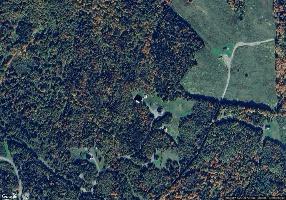
Map
Nearby Homes
- 250 Main St
- 272 Main St
- 102 Trooper Leslie G Lord Mem Hwy
- 114 Trooper Leslie G Lord Mem Hwy
- 102 Trooper Leslie G Lord Mem Hwy
- 102 Trooper Leslie G Lord Mem Hwy
- 00 U S 3
- 8 Couture St
- 16 Couture St
- 248 Main St
- 7 Third St
- 245 Main St
- - Main St
- 5 5th St
- 1 Couture St
- 21 Couture St
- 11 Edwards St
- 9 Cummings St
- 9 4th St
- 5 4th St