43 Sequoia Ln Bridgeport, WV 26330
Estimated Value: $543,000 - $624,000
4
Beds
4
Baths
3,357
Sq Ft
$175/Sq Ft
Est. Value
About This Home
This home is located at 43 Sequoia Ln, Bridgeport, WV 26330 and is currently estimated at $586,981, approximately $174 per square foot. 43 Sequoia Ln is a home.
Ownership History
Date
Name
Owned For
Owner Type
Purchase Details
Closed on
Jun 19, 2023
Sold by
Linkh Ronald J and Linkh Cristy
Bought by
Poling Matt L and Poling Robynn E
Current Estimated Value
Purchase Details
Closed on
Jul 11, 2019
Sold by
Kelley Gilbert and Kelley Frankie
Bought by
Poling Matt L and Poling Robynn E
Home Financials for this Owner
Home Financials are based on the most recent Mortgage that was taken out on this home.
Original Mortgage
$350,000
Interest Rate
3.7%
Mortgage Type
VA
Create a Home Valuation Report for This Property
The Home Valuation Report is an in-depth analysis detailing your home's value as well as a comparison with similar homes in the area
Home Values in the Area
Average Home Value in this Area
Purchase History
| Date | Buyer | Sale Price | Title Company |
|---|---|---|---|
| Poling Matt L | -- | None Listed On Document | |
| Poling Matt L | $430,000 | None Available |
Source: Public Records
Mortgage History
| Date | Status | Borrower | Loan Amount |
|---|---|---|---|
| Previous Owner | Poling Matt L | $350,000 |
Source: Public Records
Tax History Compared to Growth
Tax History
| Year | Tax Paid | Tax Assessment Tax Assessment Total Assessment is a certain percentage of the fair market value that is determined by local assessors to be the total taxable value of land and additions on the property. | Land | Improvement |
|---|---|---|---|---|
| 2025 | $3,645 | $332,880 | $30,240 | $302,640 |
| 2024 | $3,645 | $312,360 | $30,240 | $282,120 |
| 2023 | $3,353 | $284,580 | $30,240 | $254,340 |
| 2022 | $3,117 | $284,520 | $30,240 | $254,280 |
| 2021 | $3,067 | $283,380 | $30,240 | $253,140 |
| 2020 | $2,422 | $210,060 | $19,440 | $190,620 |
| 2019 | $2,437 | $211,260 | $19,440 | $191,820 |
| 2018 | $2,411 | $210,000 | $18,900 | $191,100 |
| 2017 | $2,308 | $201,900 | $16,320 | $185,580 |
| 2016 | $2,250 | $199,260 | $15,360 | $183,900 |
| 2015 | $2,201 | $193,800 | $14,400 | $179,400 |
| 2014 | $2,172 | $191,460 | $12,960 | $178,500 |
Source: Public Records
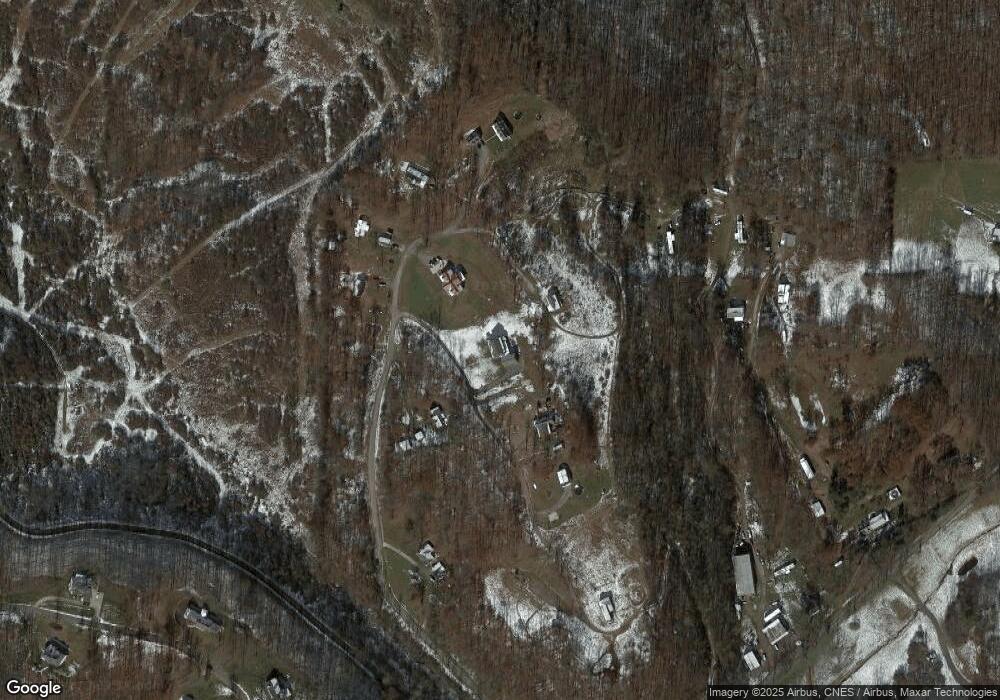
Map
Nearby Homes
- 542 Brushy Fork Rd
- 516 Brushy Fork Rd
- TBD Benedum Run Rd
- 131 Frisco Ln
- TBD Sterling Dr
- 332 Timberbrook Ln
- 54 Church St
- TBD Hinkle Lake Rd
- 210 Frisco Ln
- TBD N 24th St
- 111 Frisco Ln
- 113 Frisco Ln
- 2589 Philippi Pike
- 000 Corpening Dr
- 0 Corpening Dr
- 228 Jefferson St
- 606 Shearwood Forest Dr
- TBD Coplin Run Rd
- 308 S Virginia Ave
- 237 Newton Ave
- 404 Kelley Dr
- 362 Kelley Dr
- 93 Sequoia Ln
- 278 Kelley Dr
- 127 Sequoia Ln
- 347 Kelley Dr
- 423 Kelley Dr
- 448 Kelley Dr
- 201 Rawhide Rd
- 252 Rawhide Rd
- 221 Wild Turkey Dr
- 101 Wild Turkey Dr
- 202 Wild Turkey Dr
- 90 Whitetail Ln
- 2 Pheasant Ridge Rd
- 107 Wild Turkey Dr
- 102 Wild Turkey Dr
- 100 Wild Turkey Dr
- 3119 Hinkle Lake Rd
- 116 Pheasant Ridge Rd