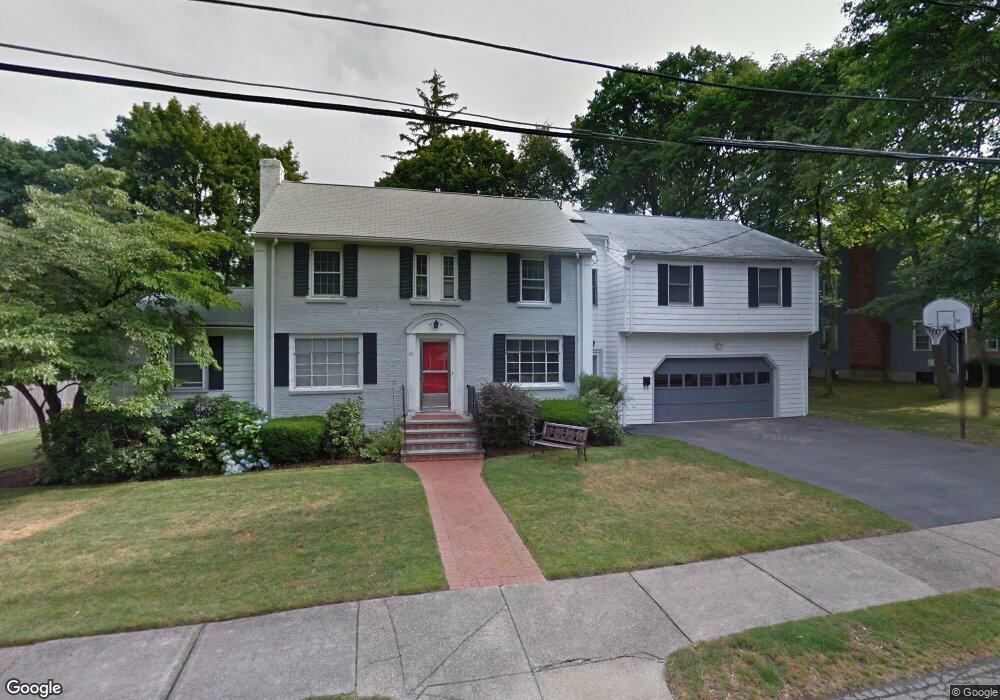
43 Sherbrook Rd Newton, MA 02458
Newton Centre NeighborhoodEstimated Value: $2,134,000 - $2,436,000
4
Beds
4
Baths
2,873
Sq Ft
$805/Sq Ft
Est. Value
About This Home
This home is located at 43 Sherbrook Rd, Newton, MA 02458 and is currently estimated at $2,311,800, approximately $804 per square foot. 43 Sherbrook Rd is a home located in Middlesex County with nearby schools including Ward Elementary School, Bigelow Middle School, and Newton North High School.
Ownership History
Date
Name
Owned For
Owner Type
Purchase Details
Closed on
Feb 18, 1987
Sold by
Selig Mark R
Bought by
Zwiebach Barton
Current Estimated Value
Create a Home Valuation Report for This Property
The Home Valuation Report is an in-depth analysis detailing your home's value as well as a comparison with similar homes in the area
Home Values in the Area
Average Home Value in this Area
Purchase History
| Date | Buyer | Sale Price | Title Company |
|---|---|---|---|
| Zwiebach Barton | $350,000 | -- |
Source: Public Records
Mortgage History
| Date | Status | Borrower | Loan Amount |
|---|---|---|---|
| Open | Zwiebach Barton | $200,000 | |
| Closed | Zwiebach Barton | $150,000 | |
| Closed | Zwiebach Barton | $38,000 | |
| Closed | Zwiebach Barton | $203,000 |
Source: Public Records
Tax History Compared to Growth
Tax History
| Year | Tax Paid | Tax Assessment Tax Assessment Total Assessment is a certain percentage of the fair market value that is determined by local assessors to be the total taxable value of land and additions on the property. | Land | Improvement |
|---|---|---|---|---|
| 2025 | $19,749 | $2,015,200 | $1,369,600 | $645,600 |
| 2024 | $19,095 | $1,956,500 | $1,329,700 | $626,800 |
| 2023 | $18,275 | $1,795,200 | $1,020,300 | $774,900 |
| 2022 | $17,486 | $1,662,200 | $944,700 | $717,500 |
| 2021 | $16,873 | $1,568,100 | $891,200 | $676,900 |
| 2020 | $16,371 | $1,568,100 | $891,200 | $676,900 |
| 2019 | $15,909 | $1,522,400 | $865,200 | $657,200 |
| 2018 | $15,292 | $1,413,300 | $785,400 | $627,900 |
| 2017 | $14,826 | $1,333,300 | $740,900 | $592,400 |
| 2016 | $14,181 | $1,246,100 | $692,400 | $553,700 |
| 2015 | $13,521 | $1,164,600 | $647,100 | $517,500 |
Source: Public Records
Map
Nearby Homes
- 31 W Boulevard Rd
- 23 Francis St Unit 23-1
- 21 Francis St Unit 21A
- 44 Irving St
- 5 Merrill Rd
- 59 Hyde Ave
- 92 Grant Ave
- 686 Centre St
- 104 Woodchester Dr
- 35 George St Unit 35
- 37 George St Unit 37
- 5 Hammond St
- 1004 Centre St
- 655 Centre St
- 106 Farlow Rd
- 73 Elmore St
- 209 Commonwealth Ave Unit 3E
- 118 Langdon St
- 9 The Ledges Rd
- 327 Franklin St
- 33 Sherbrooke Rd
- 51 Sherbrook Rd
- 33 Sherbrook Rd
- 34 Cotton St
- 42 Cotton St
- 44 Sherbrook Rd
- 52 Sherbrook Rd
- 52 Sherbrooke Rd
- 48 Cotton St
- 34 Sherbrook Rd
- 61 Sherbrook Rd
- 25 Sherbrook Rd
- 60 Sherbrook Rd
- 20 Cotton St
- 47 Clements Rd
- 56 Cotton St
- 55 Clements Rd
- 39 Clements Rd
- 28 Sherbrook Rd
- 47 Cotton St