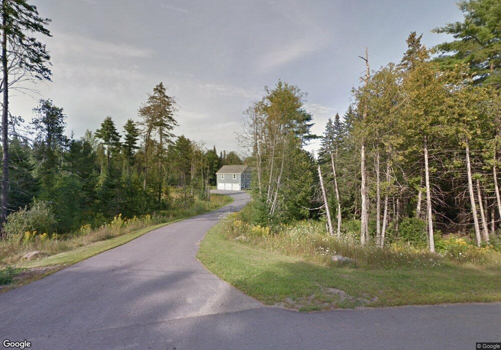
43 Stetson Dr Hampden, ME 04444
Estimated Value: $499,000 - $712,000
5
Beds
3
Baths
3,700
Sq Ft
$165/Sq Ft
Est. Value
About This Home
This home is located at 43 Stetson Dr, Hampden, ME 04444 and is currently estimated at $609,942, approximately $164 per square foot. 43 Stetson Dr is a home located in Penobscot County.
Ownership History
Date
Name
Owned For
Owner Type
Purchase Details
Closed on
Oct 20, 2008
Sold by
Wilson Michael D
Bought by
Wilson Renee D and Doble Renee B
Current Estimated Value
Home Financials for this Owner
Home Financials are based on the most recent Mortgage that was taken out on this home.
Original Mortgage
$141,100
Interest Rate
6.41%
Mortgage Type
Commercial
Create a Home Valuation Report for This Property
The Home Valuation Report is an in-depth analysis detailing your home's value as well as a comparison with similar homes in the area
Purchase History
| Date | Buyer | Sale Price | Title Company |
|---|---|---|---|
| Wilson Renee D | -- | -- |
Source: Public Records
Mortgage History
| Date | Status | Borrower | Loan Amount |
|---|---|---|---|
| Open | Wilson Renee D | $141,000 | |
| Closed | Wilson Renee D | $141,100 |
Source: Public Records
Tax History
| Year | Tax Paid | Tax Assessment Tax Assessment Total Assessment is a certain percentage of the fair market value that is determined by local assessors to be the total taxable value of land and additions on the property. | Land | Improvement |
|---|---|---|---|---|
| 2025 | $8,590 | $486,670 | $72,930 | $413,740 |
| 2024 | $6,935 | $443,100 | $67,000 | $376,100 |
| 2023 | $6,982 | $362,700 | $55,000 | $307,700 |
| 2022 | $6,688 | $323,100 | $49,600 | $273,500 |
| 2021 | $6,688 | $323,100 | $49,600 | $273,500 |
| 2020 | $6,591 | $323,100 | $49,600 | $273,500 |
| 2019 | $6,410 | $314,200 | $48,200 | $266,000 |
| 2018 | $6,158 | $314,200 | $48,200 | $266,000 |
| 2017 | $5,781 | $314,200 | $48,200 | $266,000 |
| 2016 | $5,715 | $314,000 | $48,000 | $266,000 |
| 2015 | $5,495 | $314,000 | $48,000 | $266,000 |
| 2014 | $5,499 | $314,200 | $48,200 | $266,000 |
| 2013 | $5,231 | $314,200 | $48,200 | $266,000 |
Source: Public Records
Map
Nearby Homes
- 881 Western Ave
- 177 Shaw Hill Rd
- 9 Deer Hill Ln
- 130 Miller Rd
- TBD Western Ave
- 747 Western Ave
- 81 Fowler Rd
- 1197 Western Ave
- Lot 65 Freedom Ave
- 20 Conners Ave
- 9 Patterson Rd
- 42 Patterson Rd
- 2206 Carmel Rd N
- 0 Rt 1a (Honey Hill Estates) Unit Lot 7
- 0 Rt 1a (Honey Hill Estates) Unit Lot 19
- 0 Rt 1a (Honey Hill Estates) Unit Lot 2
- 0 Rt 1a (Honey Hill Estates) Unit Lot 10
- 3 Cole Cir
- 142 Ichabod Ln
- 0 Western Ave Unit 21258039