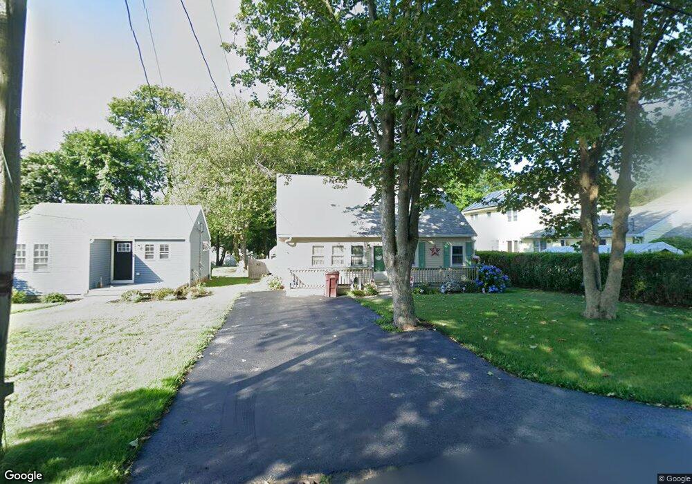
43 Tower Ave Marshfield, MA 02050
Ocean Bluff-Brant Rock NeighborhoodEstimated Value: $637,000 - $676,000
3
Beds
1
Bath
1,539
Sq Ft
$425/Sq Ft
Est. Value
About This Home
This home is located at 43 Tower Ave, Marshfield, MA 02050 and is currently estimated at $653,988, approximately $424 per square foot. 43 Tower Ave is a home located in Plymouth County with nearby schools including Governor Edward Winslow School, Furnace Brook Middle School, and Marshfield High School.
Create a Home Valuation Report for This Property
The Home Valuation Report is an in-depth analysis detailing your home's value as well as a comparison with similar homes in the area
Home Values in the Area
Average Home Value in this Area
Tax History
| Year | Tax Paid | Tax Assessment Tax Assessment Total Assessment is a certain percentage of the fair market value that is determined by local assessors to be the total taxable value of land and additions on the property. | Land | Improvement |
|---|---|---|---|---|
| 2025 | $5,690 | $574,700 | $321,100 | $253,600 |
| 2024 | $5,490 | $528,400 | $301,000 | $227,400 |
| 2023 | $5,158 | $467,600 | $270,900 | $196,700 |
| 2022 | $5,158 | $398,300 | $230,800 | $167,500 |
| 2021 | $4,871 | $369,300 | $220,800 | $148,500 |
| 2020 | $4,522 | $339,200 | $190,700 | $148,500 |
| 2019 | $4,402 | $329,000 | $190,700 | $138,300 |
| 2018 | $4,301 | $321,700 | $190,700 | $131,000 |
| 2017 | $4,021 | $293,100 | $180,600 | $112,500 |
| 2016 | $3,848 | $277,200 | $170,600 | $106,600 |
| 2015 | $3,684 | $277,200 | $170,600 | $106,600 |
| 2014 | $3,414 | $256,900 | $170,600 | $86,300 |
Source: Public Records
Map
Nearby Homes
Your Personal Tour Guide
Ask me questions while you tour the home.