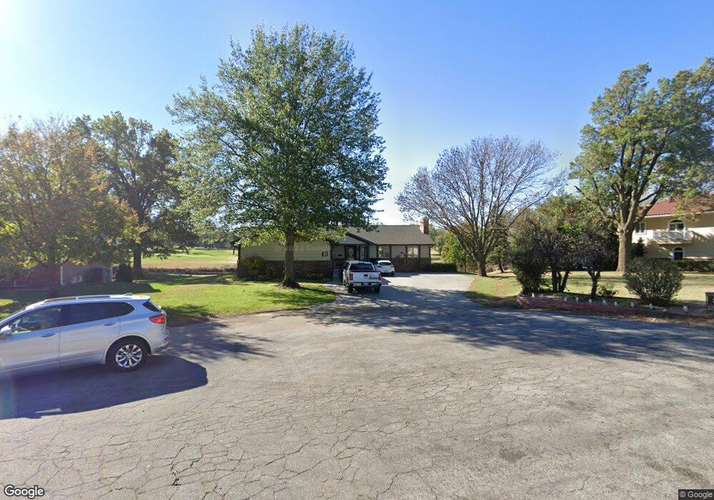
43 W Rolling Hills Ct Wichita, KS 67212
Westlink NeighborhoodEstimated Value: $391,304 - $412,000
3
Beds
3
Baths
1,891
Sq Ft
$212/Sq Ft
Est. Value
About This Home
This home is located at 43 W Rolling Hills Ct, Wichita, KS 67212 and is currently estimated at $401,652, approximately $212 per square foot. 43 W Rolling Hills Ct is a home located in Sedgwick County with nearby schools including Peterson Elementary School, Wilbur Middle School, and Wichita Northwest High School.
Ownership History
Date
Name
Owned For
Owner Type
Purchase Details
Closed on
Jul 19, 2024
Sold by
Smarda Llc
Bought by
Michael L & Sheri D Dierking Revocable Trust
Current Estimated Value
Purchase Details
Closed on
Dec 15, 2015
Sold by
White Tornado Holdings Llc
Bought by
Smarda Llc
Purchase Details
Closed on
Jun 17, 2014
Sold by
Dierking Michael L and Dierking Sheri D
Bought by
White Tornado Holdings Llc
Create a Home Valuation Report for This Property
The Home Valuation Report is an in-depth analysis detailing your home's value as well as a comparison with similar homes in the area
Home Values in the Area
Average Home Value in this Area
Purchase History
| Date | Buyer | Sale Price | Title Company |
|---|---|---|---|
| Michael L & Sheri D Dierking Revocable Trust | -- | Alpha National Title Guaranty, | |
| Smarda Llc | -- | None Available | |
| White Tornado Holdings Llc | -- | None Available |
Source: Public Records
Tax History Compared to Growth
Tax History
| Year | Tax Paid | Tax Assessment Tax Assessment Total Assessment is a certain percentage of the fair market value that is determined by local assessors to be the total taxable value of land and additions on the property. | Land | Improvement |
|---|---|---|---|---|
| 2025 | $4,493 | $40,791 | $10,373 | $30,418 |
| 2023 | $4,493 | $35,559 | $7,395 | $28,164 |
| 2022 | $3,783 | $31,717 | $6,969 | $24,748 |
| 2021 | $3,568 | $29,188 | $5,118 | $24,070 |
| 2020 | $3,449 | $28,061 | $5,118 | $22,943 |
| 2019 | $3,212 | $25,979 | $6,705 | $19,274 |
| 2018 | $3,347 | $27,053 | $3,416 | $23,637 |
| 2017 | $3,182 | $0 | $0 | $0 |
| 2016 | $3,718 | $0 | $0 | $0 |
| 2015 | $3,653 | $0 | $0 | $0 |
| 2014 | $3,578 | $0 | $0 | $0 |
Source: Public Records
Map
Nearby Homes
- 31 W Rolling Hills Ct
- 324 N Fairway Ave
- 115 N Westfield St
- 133 N Arcadia St
- 9620 W Tee Ln
- 300 N Wood Ave
- 9111 W Douglas Ave
- 9109 W Douglas Ave
- 238 N Mesa St
- 827 N Westlink Ave
- 860 N Valleyview St
- 380 & 382 N Country Acres
- 408 S Turquoise St
- 11112 W Rolling Hills Dr
- 967 N Robin Rd
- 11005 W Taylor Cir
- 8421 W Murdock St
- 110 N Prescott St
- 229 S Gleneagles Ct
- 1112 N Westfield Ave
- 39 W Rolling Hills Ct
- 33 W Rolling Hills Ct
- 35 W Rolling Hills Ct
- 44 W Rolling Hills Ct
- 40 W Rolling Hills Ct
- 36 W Rolling Hills Ct
- 32 W Rolling Hills Ct
- 437 N Westfield Ct
- 435 N Westfield Ct
- 29 W Rolling Hills Ct
- 338 N Fairway Ave
- 28 W Rolling Hills Ct
- 346 N Fairway Ave
- 316 N Fairway Ave
- 255 N Westfield St
- 356 N Fairway Ave
- 433 N Westfield Ct
- 439 N Westfield Ct
- 357 N Westfield St
- 43 W Rolling Hills Dr