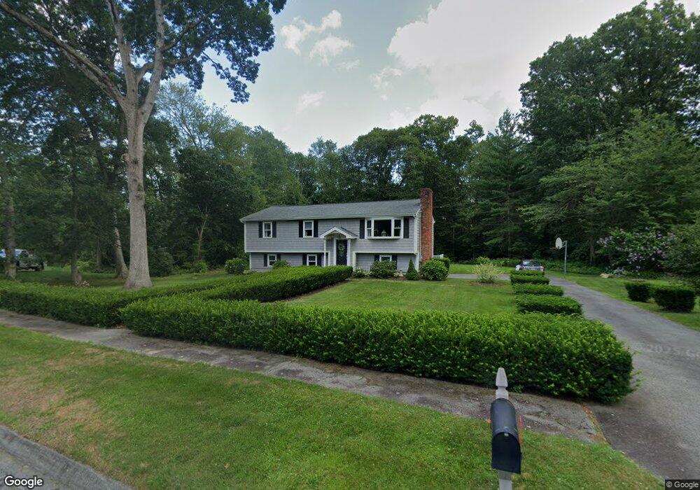
43 Whitney Cir Swansea, MA 02777
West Swansea NeighborhoodEstimated Value: $534,000 - $605,000
3
Beds
2
Baths
1,682
Sq Ft
$339/Sq Ft
Est. Value
About This Home
This home is located at 43 Whitney Cir, Swansea, MA 02777 and is currently estimated at $569,566, approximately $338 per square foot. 43 Whitney Cir is a home located in Bristol County with nearby schools including Joseph Case High School, Highlander Charter Middle and High School, and East Bay Career Academy.
Ownership History
Date
Name
Owned For
Owner Type
Purchase Details
Closed on
May 20, 2025
Sold by
Borges Bruce A and Borges Rebecca N
Bought by
Borges Ft
Current Estimated Value
Purchase Details
Closed on
Jun 30, 1975
Bought by
Borges Bruce A and Borges Rebecca N
Create a Home Valuation Report for This Property
The Home Valuation Report is an in-depth analysis detailing your home's value as well as a comparison with similar homes in the area
Home Values in the Area
Average Home Value in this Area
Purchase History
| Date | Buyer | Sale Price | Title Company |
|---|---|---|---|
| Borges Ft | -- | None Available | |
| Borges Ft | -- | None Available | |
| Borges Bruce A | -- | -- |
Source: Public Records
Mortgage History
| Date | Status | Borrower | Loan Amount |
|---|---|---|---|
| Previous Owner | Borges Bruce A | $70,000 | |
| Previous Owner | Borges Bruce A | $69,000 |
Source: Public Records
Tax History Compared to Growth
Tax History
| Year | Tax Paid | Tax Assessment Tax Assessment Total Assessment is a certain percentage of the fair market value that is determined by local assessors to be the total taxable value of land and additions on the property. | Land | Improvement |
|---|---|---|---|---|
| 2025 | $5,853 | $491,000 | $199,000 | $292,000 |
| 2024 | $5,935 | $495,000 | $199,000 | $296,000 |
| 2023 | $5,654 | $430,600 | $148,200 | $282,400 |
| 2022 | $5,399 | $375,200 | $128,900 | $246,300 |
| 2021 | $5,389 | $344,800 | $134,700 | $210,100 |
| 2020 | $5,464 | $350,700 | $140,600 | $210,100 |
| 2019 | $5,109 | $329,400 | $121,300 | $208,100 |
| 2018 | $4,864 | $318,300 | $118,300 | $200,000 |
| 2017 | $4,000 | $301,200 | $113,200 | $188,000 |
| 2016 | $3,859 | $285,400 | $88,600 | $196,800 |
| 2015 | $3,599 | $274,100 | $88,600 | $185,500 |
| 2014 | $3,256 | $253,600 | $88,600 | $165,000 |
Source: Public Records
Map
Nearby Homes
- 10 Quaker Ln
- 72 Neadam Ct
- 0 Old Fall River Rd Unit 73399047
- 43 Baptist St
- 7 Johnnies Way
- 129 Cameron Way
- 36 Columbine Rd
- 100 Oxford Ln
- 283 Plain St
- 55 Smoke Rise Cir
- 9 Lambert Ln
- 1261 Gar Hwy
- 35 Lazywood Ln
- 397RR Locust St
- 75 Martin St
- 92 Martin St
- 86 Martin St
- 16 Martin St
- 99 Spring St
- 285 Plain St
- 31 Whitney Cir
- 51 Whitney Cir
- 51 Whitney Cir Unit CIRLCE
- 141 Warhurst Ave
- 50 Whitney Cir
- 40 Whitney Cir
- 48 Whitney Cir
- 181 Warhurst Ave
- 193 Warhurst Ave
- 201 Warhurst Ave
- 211 Warhurst Ave
- 221 Warhurst Ave
- 315 Warhurst Ave
- 299 Warhurst Ave
- 291 Warhurst Ave
- 273 Warhurst Ave
- 323 Warhurst Ave
- 231 Warhurst Ave
- 335 Warhurst Ave
- 375 Warhurst Ave