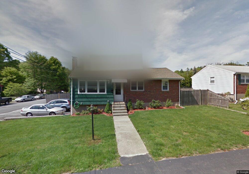
43 Woodcliff Rd Holbrook, MA 02343
Estimated Value: $514,000 - $649,000
3
Beds
1
Bath
1,157
Sq Ft
$496/Sq Ft
Est. Value
About This Home
This home is located at 43 Woodcliff Rd, Holbrook, MA 02343 and is currently estimated at $573,537, approximately $495 per square foot. 43 Woodcliff Rd is a home located in Norfolk County with nearby schools including John F. Kennedy Elementary School, Holbrook Middle High School, and Boston Higashi School.
Ownership History
Date
Name
Owned For
Owner Type
Purchase Details
Closed on
Jul 29, 2011
Sold by
Hopkins Jaileen A and Hopkins John J
Bought by
Casey Joseph M and Casey Anne T
Current Estimated Value
Home Financials for this Owner
Home Financials are based on the most recent Mortgage that was taken out on this home.
Original Mortgage
$232,655
Outstanding Balance
$160,712
Interest Rate
4.52%
Mortgage Type
Purchase Money Mortgage
Estimated Equity
$412,825
Purchase Details
Closed on
Jun 1, 2000
Sold by
Ward Brian C and Ward Tonia M
Bought by
Hopkins John J
Purchase Details
Closed on
May 2, 2000
Sold by
Mcdonnell Joseph T and Mcdonnell Susan M
Bought by
Ward Brian C and Ward Tonia M
Purchase Details
Closed on
Jan 25, 1993
Sold by
Burke Peter and Burke Marianna V
Bought by
Ward Brian C
Create a Home Valuation Report for This Property
The Home Valuation Report is an in-depth analysis detailing your home's value as well as a comparison with similar homes in the area
Home Values in the Area
Average Home Value in this Area
Purchase History
| Date | Buyer | Sale Price | Title Company |
|---|---|---|---|
| Casey Joseph M | $244,900 | -- | |
| Casey Joseph M | $244,900 | -- | |
| Casey Joseph M | $244,900 | -- | |
| Hopkins John J | $161,000 | -- | |
| Ward Brian C | $60,000 | -- | |
| Ward Brian C | $119,700 | -- | |
| Ward Brian C | $119,700 | -- |
Source: Public Records
Mortgage History
| Date | Status | Borrower | Loan Amount |
|---|---|---|---|
| Open | Casey Joseph M | $232,655 | |
| Closed | Casey Joseph M | $232,655 | |
| Previous Owner | Ward Brian C | $19,100 |
Source: Public Records
Tax History Compared to Growth
Tax History
| Year | Tax Paid | Tax Assessment Tax Assessment Total Assessment is a certain percentage of the fair market value that is determined by local assessors to be the total taxable value of land and additions on the property. | Land | Improvement |
|---|---|---|---|---|
| 2025 | $57 | $436,100 | $219,700 | $216,400 |
| 2024 | $5,576 | $414,900 | $208,400 | $206,500 |
| 2023 | $5,914 | $384,500 | $189,400 | $195,100 |
| 2022 | $5,539 | $335,900 | $172,200 | $163,700 |
| 2021 | $5,438 | $315,800 | $161,000 | $154,800 |
| 2020 | $5,513 | $300,100 | $152,800 | $147,300 |
| 2019 | $5,387 | $276,800 | $136,600 | $140,200 |
| 2018 | $5,618 | $271,800 | $136,600 | $135,200 |
| 2017 | $5,235 | $250,500 | $120,400 | $130,100 |
| 2016 | $4,871 | $248,000 | $120,400 | $127,600 |
| 2015 | $4,593 | $240,700 | $119,400 | $121,300 |
| 2014 | $4,400 | $234,400 | $119,400 | $115,000 |
Source: Public Records
Map
Nearby Homes
- 16 Woodcliff Rd
- 373 N Franklin St
- 6 E Division St
- 187 Belcher St
- 5 Clarendon Cir Unit Lot 4
- 104 Milton Rd
- 63 Cedarhill Rd
- 27 Winter St
- 29 Woodedge Ave
- 96 Roberts Ave
- 61 Woodside Ave
- 7 Morton Rd
- 229 Mill St
- 217 Mill St
- 46 Wilmarth Rd
- 152 S Franklin St
- 16 Winthrop Ave
- 1501 Liberty St
- 181 S Franklin St Unit 102
- 10 Alfred Terrace