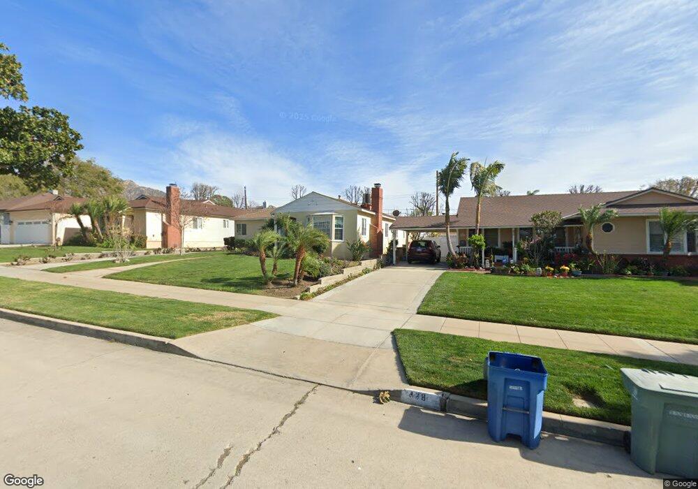
430 Andover Dr Burbank, CA 91504
Hillside District NeighborhoodEstimated Value: $1,536,000 - $1,837,000
About This Home
This home is located at 430 Andover Dr, Burbank, CA 91504 and is currently estimated at $1,622,846, approximately $813 per square foot. 430 Andover Dr is a home located in Los Angeles County with nearby schools including Thomas Jefferson Elementary School, Lott Middle School, and John Muir Middle School.
Ownership History
We collect this data history from publicly available records. To have your information removed, we recommend requesting removal directly through your county’s website.
Purchase Details
Purchase Details
Home Values in the Area
Average Home Value in this Area
Purchase History
We collect this data history from publicly available records. To have your information removed, we recommend requesting removal directly through your county’s website.
| Date | Buyer | Sale Price | Title Company |
|---|---|---|---|
| -- | None Listed On Document | ||
| $262,000 | North American Title Company |
Mortgage History
We collect this data history from publicly available records. To have your information removed, we recommend requesting removal directly through your county’s website.
| Date | Status | Borrower | Loan Amount |
|---|---|---|---|
| Previous Owner | $76,300 | ||
| Previous Owner | $198,000 | ||
| Previous Owner | $275,000 | ||
| Previous Owner | $60,000 | ||
| Previous Owner | $11,225 | ||
| Previous Owner | $227,000 | ||
| Previous Owner | $28,651 |
Tax History
We collect this data history from publicly available records. To have your information removed, we recommend requesting removal directly through your county’s website.
| Year | Tax Paid | Tax Assessment Tax Assessment Total Assessment is a certain percentage of the fair market value that is determined by local assessors to be the total taxable value of land and additions on the property. | Land | Improvement |
|---|---|---|---|---|
| 2025 | $6,286 | $540,615 | $295,222 | $245,393 |
| 2024 | $6,079 | $530,016 | $289,434 | $240,582 |
| 2023 | $6,015 | $519,624 | $283,759 | $235,865 |
| 2022 | $5,746 | $509,437 | $278,196 | $231,241 |
| 2021 | $5,716 | $499,449 | $272,742 | $226,707 |
| 2019 | $5,488 | $484,637 | $264,653 | $219,984 |
| 2018 | $5,340 | $475,135 | $259,464 | $215,671 |
| 2016 | $5,058 | $456,688 | $249,390 | $207,298 |
| 2015 | $4,955 | $449,829 | $245,644 | $204,185 |
| 2014 | $4,946 | $441,019 | $240,833 | $200,186 |
Map
- 505 Cambridge Dr
- 521 Bethany Rd
- 350 Bethany Rd
- 1814 Grismer Ave
- 1620 N San Fernando Blvd Unit 52
- 1620 N San Fernando Blvd Unit 27
- 1120 East Ave
- 1711 Grismer Ave Unit 63
- 1711 Grismer Ave Unit 56
- 401 Eton Dr
- 1113 N Glenoaks Blvd
- 230 Bethany Rd Unit 237
- 1101 East Ave
- 1831 Richard St
- 2005 Grismer Ave
- 611 Delaware Rd
- 1912 N Kenneth Rd
- 523 E Fairmount Rd
- 536 Hampton Rd
- 806 Stanford Rd
Ask me questions while you tour the home.