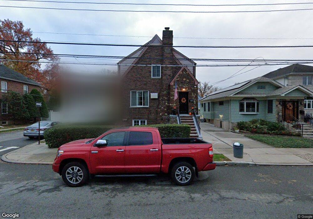
430 College Ave Staten Island, NY 10314
Westerleigh NeighborhoodEstimated Value: $981,000 - $1,098,000
--
Bed
--
Bath
2,520
Sq Ft
$403/Sq Ft
Est. Value
About This Home
This home is located at 430 College Ave, Staten Island, NY 10314 and is currently estimated at $1,016,597, approximately $403 per square foot. 430 College Ave is a home located in Richmond County with nearby schools including P.S. 30 Westerleigh, I.S. 51 Edwin Markham, and Port Richmond High School.
Ownership History
Date
Name
Owned For
Owner Type
Purchase Details
Closed on
May 13, 2013
Sold by
Raisley Anthony and Raisley Joan F
Bought by
Cundari Michael and Cundari Joanna
Current Estimated Value
Purchase Details
Closed on
Oct 21, 2002
Sold by
Raisley John
Bought by
Raisley Anthony and Raisley Joan E
Home Financials for this Owner
Home Financials are based on the most recent Mortgage that was taken out on this home.
Original Mortgage
$4,842
Interest Rate
6.18%
Mortgage Type
Purchase Money Mortgage
Create a Home Valuation Report for This Property
The Home Valuation Report is an in-depth analysis detailing your home's value as well as a comparison with similar homes in the area
Home Values in the Area
Average Home Value in this Area
Purchase History
| Date | Buyer | Sale Price | Title Company |
|---|---|---|---|
| Cundari Michael | -- | None Available | |
| Raisley Anthony | -- | Stewart Title Insurance Co |
Source: Public Records
Mortgage History
| Date | Status | Borrower | Loan Amount |
|---|---|---|---|
| Closed | Raisley Anthony | $4,842 |
Source: Public Records
Tax History Compared to Growth
Tax History
| Year | Tax Paid | Tax Assessment Tax Assessment Total Assessment is a certain percentage of the fair market value that is determined by local assessors to be the total taxable value of land and additions on the property. | Land | Improvement |
|---|---|---|---|---|
| 2025 | $8,691 | $68,940 | $11,662 | $57,278 |
| 2024 | $8,703 | $56,340 | $13,463 | $42,877 |
| 2023 | $8,612 | $43,807 | $11,395 | $32,412 |
| 2022 | $7,963 | $53,100 | $16,980 | $36,120 |
| 2021 | $8,349 | $51,240 | $16,980 | $34,260 |
| 2020 | $8,056 | $50,940 | $16,980 | $33,960 |
| 2019 | $7,494 | $52,200 | $16,980 | $35,220 |
| 2018 | $7,144 | $36,506 | $15,351 | $21,155 |
| 2017 | $6,721 | $34,440 | $16,980 | $17,460 |
| 2016 | $6,539 | $34,260 | $16,980 | $17,280 |
| 2015 | $5,648 | $32,881 | $17,925 | $14,956 |
| 2014 | $5,648 | $31,020 | $18,840 | $12,180 |
Source: Public Records
Map
Nearby Homes
- 116 Bidwell Ave
- 159 North Ave
- 151 Clinton B Fisk Ave
- 32 Dickie Ave
- 153 Clinton B Fisk Ave
- 262 Maine Ave
- 184 Dickie Ave
- 349 College Ave
- 36 Shaw Place
- 60 North Ave
- 40 North Ave
- 325 College Ave
- 615 Jewett Ave
- 78 Burnside Ave
- 304 Kingsley Ave
- 751 Jewett Ave Unit 17
- 751 Jewett Ave
- 75 Muller Ave
- 279 Saint John Ave
- 282 Willard Ave
- 434 College Ave
- 438 College Ave
- 420 College Ave
- 341 Maine Ave
- 416 College Ave
- 347 Maine Ave Unit 1
- 347 Maine Ave Unit 2
- 347 Maine Ave Unit 2nd Floor
- 347 Maine Ave Unit 1st Flr
- 442 College Ave
- 351 Maine Ave
- 329 Maine Ave
- 353 Maine Ave
- 412 College Ave
- 325 Maine Ave
- 421 College Ave
- 355 Maine Ave
- 437 College Ave
- 450 College Ave
- 419 College Ave