430 Davis Rd Lower Salem, OH 45745
Estimated Value: $118,000
3
Beds
2
Baths
2,132
Sq Ft
$55/Sq Ft
Est. Value
About This Home
This home is located at 430 Davis Rd, Lower Salem, OH 45745 and is currently estimated at $118,000, approximately $55 per square foot. 430 Davis Rd is a home with nearby schools including Fort Frye High School.
Ownership History
Date
Name
Owned For
Owner Type
Purchase Details
Closed on
Jan 13, 2025
Sold by
Mills Family Trust and Old Mission Trust Company Llc
Bought by
Jam3 Llc
Current Estimated Value
Purchase Details
Closed on
Aug 21, 2024
Sold by
Mills Family Farm Llc
Bought by
Mills Family Trust and Old Mission Trust
Purchase Details
Closed on
Jan 28, 1993
Bought by
Mills James M Trustee Of
Create a Home Valuation Report for This Property
The Home Valuation Report is an in-depth analysis detailing your home's value as well as a comparison with similar homes in the area
Purchase History
| Date | Buyer | Sale Price | Title Company |
|---|---|---|---|
| Jam3 Llc | -- | None Listed On Document | |
| Jam3 Llc | -- | None Listed On Document | |
| Mills Family Trust | -- | None Listed On Document | |
| Mills James M Trustee Of | -- | -- | |
| Mills James M Trustee Of | -- | -- |
Source: Public Records
Tax History
| Year | Tax Paid | Tax Assessment Tax Assessment Total Assessment is a certain percentage of the fair market value that is determined by local assessors to be the total taxable value of land and additions on the property. | Land | Improvement |
|---|---|---|---|---|
| 2024 | $258 | $22,950 | $20,410 | $2,540 |
| 2023 | $1,732 | $67,060 | $24,280 | $42,780 |
| 2022 | $1,646 | $67,060 | $24,280 | $42,780 |
| 2021 | $1,441 | $56,530 | $20,130 | $36,400 |
| 2020 | $1,442 | $56,530 | $20,130 | $36,400 |
| 2019 | $1,439 | $43,780 | $7,380 | $36,400 |
| 2018 | $1,453 | $43,800 | $7,400 | $36,400 |
| 2017 | $1,459 | $43,800 | $7,400 | $36,400 |
| 2016 | $1,448 | $43,800 | $7,400 | $36,400 |
| 2015 | $1,531 | $44,230 | $7,370 | $36,860 |
| 2014 | $2,763 | $44,230 | $7,370 | $36,860 |
| 2013 | $1,542 | $44,230 | $7,370 | $36,860 |
Source: Public Records
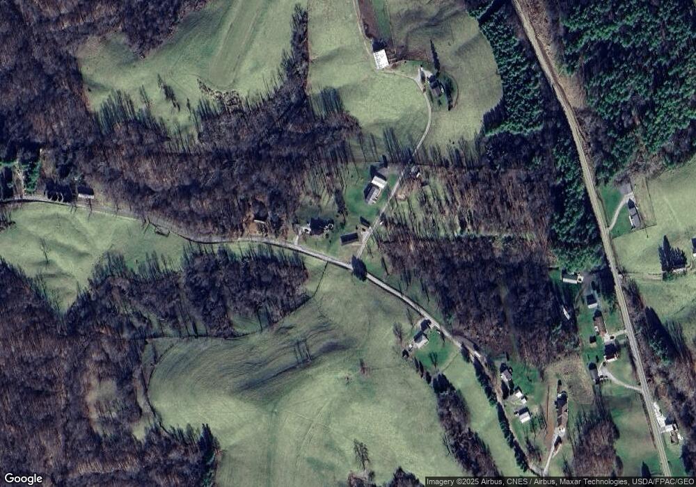
Map
Nearby Homes
- 50 & 60 Railroad St
- 3275 Highland Ridge Rd
- 360 E Henniger Rd
- 0 Highland Ridge Rd
- 4595 Ohio 530
- 8292 State Route 60
- Lot 3 Moss Run Rd
- Lot 4 Moss Run Rd
- 101 Winters Dr
- 0 Ohio 530
- 0 State Route 530 Unit Lowell OH 45744
- 0 Township Highway 272
- 208 Main St
- 310 5th St
- 323 5th St
- 202 Deerwalk Cir
- 9050 Dalzell Rd
- 101 Ellsworth Dr
- 40 Masonic Park Ln
- 11 Moss Run Rd
- 410 Davis Rd
- 420 Davis Rd
- 470 Davis Rd
- 510 Davis Rd
- 345 Davis Rd
- 8860 State Route 821
- 8735 State Route 821
- 240 Davis Rd
- 8800 State Route 821
- 8725 State Route 821
- 700 Davis Rd
- 197 Mills Firehouse Ln
- 184 Davis Rd
- 760 Davis Rd
- 8650 State Route 821
- 8615 State Route 821
- 8389 State Route 821 Rd
- 8590 State Route 821
- 0 Davis Rd
- 8470 Ohio 821
Your Personal Tour Guide
Ask me questions while you tour the home.