430 Dehart Dr Morristown, TN 37813
Estimated Value: $518,000 - $710,776
4
Beds
2
Baths
1,740
Sq Ft
$348/Sq Ft
Est. Value
About This Home
This home is located at 430 Dehart Dr, Morristown, TN 37813 and is currently estimated at $605,592, approximately $348 per square foot. 430 Dehart Dr is a home located in Hamblen County with nearby schools including Witt Elementary School, Lincoln Heights Middle School, and Morristown West High School.
Ownership History
Date
Name
Owned For
Owner Type
Purchase Details
Closed on
May 1, 2025
Sold by
Horner Lowell Thomas
Bought by
Horner Alfred Cleveland
Current Estimated Value
Purchase Details
Closed on
May 30, 1991
Bought by
Horner Lowell Thomas
Purchase Details
Closed on
Nov 5, 1986
Bought by
Horner Lowell Thomas
Purchase Details
Closed on
Sep 20, 1983
Bought by
Knight Don and Walls Wanda
Create a Home Valuation Report for This Property
The Home Valuation Report is an in-depth analysis detailing your home's value as well as a comparison with similar homes in the area
Home Values in the Area
Average Home Value in this Area
Purchase History
| Date | Buyer | Sale Price | Title Company |
|---|---|---|---|
| Horner Alfred Cleveland | -- | None Listed On Document | |
| Horner Alfred Cleveland | -- | None Listed On Document | |
| Horner Lowell Thomas | $71,000 | -- | |
| Horner Lowell Thomas | $75,000 | -- | |
| Knight Don | $24,600 | -- |
Source: Public Records
Tax History Compared to Growth
Tax History
| Year | Tax Paid | Tax Assessment Tax Assessment Total Assessment is a certain percentage of the fair market value that is determined by local assessors to be the total taxable value of land and additions on the property. | Land | Improvement |
|---|---|---|---|---|
| 2024 | $1,285 | $65,225 | $20,575 | $44,650 |
| 2023 | $1,285 | $65,225 | $0 | $0 |
| 2022 | $1,175 | $59,650 | $20,575 | $39,075 |
| 2021 | $1,175 | $59,650 | $20,575 | $39,075 |
| 2020 | $1,175 | $59,650 | $20,575 | $39,075 |
| 2019 | $1,121 | $52,625 | $17,600 | $35,025 |
| 2018 | $1,121 | $52,625 | $17,600 | $35,025 |
| 2017 | $1,121 | $52,625 | $17,600 | $35,025 |
| 2016 | $1,042 | $52,375 | $17,600 | $34,775 |
| 2015 | $969 | $52,375 | $17,600 | $34,775 |
| 2014 | -- | $52,375 | $17,600 | $34,775 |
| 2013 | -- | $46,800 | $0 | $0 |
Source: Public Records
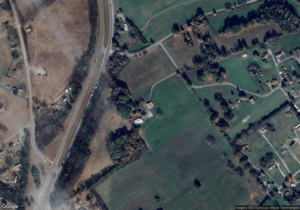
Map
Nearby Homes
- 848 Spencer Hale Rd
- 1500 S Davy Crockett Pkwy
- 5056 Spencer Hale Rd
- 453 Statem Gap Rd
- 1051 Wilson Hale Rd
- 4207 Clyde Thomas Rd
- 4996 Saint Paul Rd
- 5474 Saint Paul Rd
- 3520 Sublett Rd
- 2945 Enka Hwy
- 1160 Statem Gap Rd
- 1256 Arden Ln
- 0 Tbd River View Dr Unit Lot@WP001
- 1163 Nathan Dr
- 58/Ac Tbd River View Dr
- 58/Ac Tbd River View Dr Unit 2
- 1418 Mae Collins Rd
- 5704 Long Creek Rd
- TBD Buell Chapel Rd
- 305-365 Barkley Landing Dr
- 245 Vineyard Rd
- 474 Dehart Dr
- 109 Watkins Chapel Rd
- 115 Watkins Chapel Rd
- 4437 Old Highway 25e
- 655 Jacobs Rd
- 366 Vineyard Rd
- 4291 Witt Acres Cir
- 4201 Witt Acres Cir
- 4591 S Davy Crockett Pkwy
- 4432 Old Highway 25e
- 357 Jacobs Rd
- 4205 Witt Acres Cir
- 4279 Witt Acres Cir
- 4408 Old Highway 25e
- 4290 Witt Acres Cir
- 611 Jacobs Rd
- 121 Watkins Chapel Rd
- 669 Jacobs Rd
- 4280 Witt Acres Cir