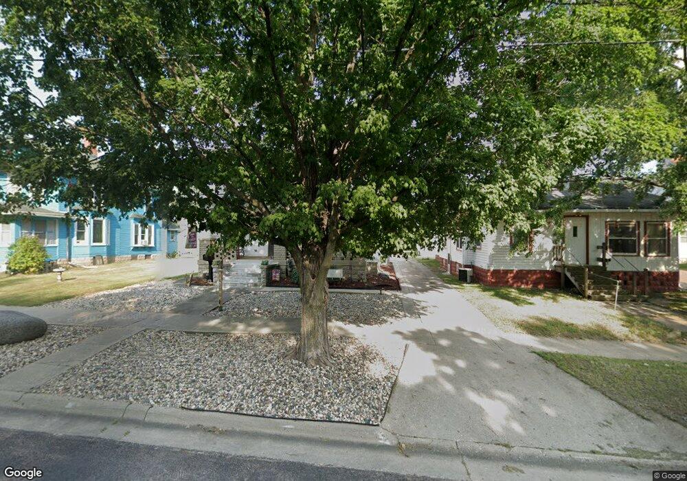
430 Euclid Ave Cherokee, IA 51012
Estimated Value: $129,000 - $190,000
3
Beds
4
Baths
2,364
Sq Ft
$67/Sq Ft
Est. Value
About This Home
This home is located at 430 Euclid Ave, Cherokee, IA 51012 and is currently estimated at $159,257, approximately $67 per square foot. 430 Euclid Ave is a home located in Cherokee County with nearby schools including Cherokee Elementary School and Cherokee Middle School.
Ownership History
Date
Name
Owned For
Owner Type
Purchase Details
Closed on
Jul 31, 2007
Sold by
Memorial Presbyterian Church Of Cherokee
Bought by
Graverholt Joan Morgan
Current Estimated Value
Home Financials for this Owner
Home Financials are based on the most recent Mortgage that was taken out on this home.
Original Mortgage
$22,500
Interest Rate
6.73%
Mortgage Type
New Conventional
Purchase Details
Closed on
May 14, 2007
Sold by
Birge Sally A
Bought by
Memorial Presbyterian Church Of Cherokee
Create a Home Valuation Report for This Property
The Home Valuation Report is an in-depth analysis detailing your home's value as well as a comparison with similar homes in the area
Home Values in the Area
Average Home Value in this Area
Purchase History
| Date | Buyer | Sale Price | Title Company |
|---|---|---|---|
| Graverholt Joan Morgan | $62,500 | None Available | |
| Memorial Presbyterian Church Of Cherokee | -- | None Available |
Source: Public Records
Mortgage History
| Date | Status | Borrower | Loan Amount |
|---|---|---|---|
| Closed | Graverholt Joan Morgan | $22,500 |
Source: Public Records
Tax History
| Year | Tax Paid | Tax Assessment Tax Assessment Total Assessment is a certain percentage of the fair market value that is determined by local assessors to be the total taxable value of land and additions on the property. | Land | Improvement |
|---|---|---|---|---|
| 2025 | $1,436 | $125,720 | $8,150 | $117,570 |
| 2024 | $1,436 | $110,470 | $8,150 | $102,320 |
| 2023 | $1,566 | $110,470 | $8,150 | $102,320 |
| 2022 | $1,422 | $89,370 | $6,110 | $83,260 |
| 2021 | $1,422 | $86,230 | $6,110 | $80,120 |
| 2020 | $1,464 | $86,230 | $6,110 | $80,120 |
| 2019 | $1,552 | $86,230 | $0 | $0 |
| 2018 | $1,234 | $72,139 | $0 | $0 |
| 2017 | $1,258 | $72,139 | $0 | $0 |
| 2016 | $1,228 | $72,139 | $0 | $0 |
| 2015 | $1,050 | $61,657 | $0 | $0 |
| 2014 | $1,088 | $61,657 | $0 | $0 |
Source: Public Records
Map
Nearby Homes
- 424 Euclid Ave
- 432 Euclid Ave
- 438 Euclid Ave
- 418 Euclid Ave
- 411 Sherman Ave
- 442 Euclid Ave
- 308 Fountain St
- 421 Sherman Ave
- 312 Fountain St
- 427 Sherman Ave
- 322 Fountain St
- 433 Sherman Ave
- 452 Euclid Ave
- 402 Euclid Ave
- 437 Sherman Ave
- 425 Euclid Ave
- 421 Euclid Ave
- 431 Euclid Ave
- 458 Euclid Ave
- 311 Fountain St
Your Personal Tour Guide
Ask me questions while you tour the home.