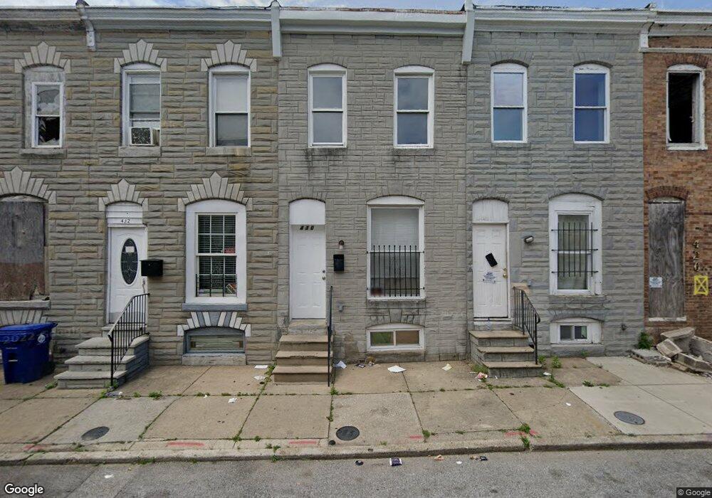
430 Furrow St Baltimore, MD 21223
Carrollton Ridge NeighborhoodEstimated Value: $88,000 - $135,695
Studio
1
Bath
455
Sq Ft
$246/Sq Ft
Est. Value
About This Home
This home is located at 430 Furrow St, Baltimore, MD 21223 and is currently estimated at $111,848, approximately $245 per square foot. 430 Furrow St is a home located in Baltimore City with nearby schools including Booker T. Washington Middle School, Digital Harbor High School, and Frederick Douglass High School.
Ownership History
Date
Name
Owned For
Owner Type
Purchase Details
Closed on
Feb 24, 2011
Sold by
Saleh Ayman
Bought by
Indus Llc
Current Estimated Value
Purchase Details
Closed on
Dec 28, 2009
Sold by
Chance Homes Llc
Bought by
Saleh Ayman
Purchase Details
Closed on
Aug 11, 2009
Sold by
Hamilton Investment
Bought by
Chance Homes Llc
Purchase Details
Closed on
Apr 1, 1999
Sold by
Hamilton Scott
Bought by
Hamilton Investment and Properties, Llc
Purchase Details
Closed on
Oct 26, 1998
Sold by
Eve Housing Financial Inc
Bought by
Hamilton Scott and Hamilton Megan
Create a Home Valuation Report for This Property
The Home Valuation Report is an in-depth analysis detailing your home's value as well as a comparison with similar homes in the area
Home Values in the Area
Average Home Value in this Area
Purchase History
| Date | Buyer | Sale Price | Title Company |
|---|---|---|---|
| Indus Llc | $4,500 | None Available | |
| Saleh Ayman | $5,600 | -- | |
| Chance Homes Llc | $8,741 | -- | |
| Hamilton Investment | -- | -- | |
| Hamilton Scott | $31,000 | -- |
Source: Public Records
Tax History
| Year | Tax Paid | Tax Assessment Tax Assessment Total Assessment is a certain percentage of the fair market value that is determined by local assessors to be the total taxable value of land and additions on the property. | Land | Improvement |
|---|---|---|---|---|
| 2025 | $925 | $44,733 | -- | -- |
| 2024 | $925 | $39,367 | -- | -- |
| 2023 | $802 | $34,000 | $7,000 | $27,000 |
| 2022 | $732 | $31,000 | $0 | $0 |
| 2021 | $661 | $28,000 | $0 | $0 |
| 2020 | $590 | $25,000 | $5,000 | $20,000 |
| 2019 | $587 | $25,000 | $5,000 | $20,000 |
| 2018 | $590 | $25,000 | $5,000 | $20,000 |
| 2017 | $708 | $30,000 | $0 | $0 |
| 2016 | $711 | $30,000 | $0 | $0 |
| 2015 | $711 | $30,000 | $0 | $0 |
| 2014 | $711 | $30,000 | $0 | $0 |
Source: Public Records
Map
Nearby Homes
- 439 S Bentalou St
- 480 S Bentalou St
- 2202 Ashton St
- 519 S Bentalou St
- 430 S Smallwood St
- 426 S Smallwood St
- 422 S Smallwood St
- 411 Furrow St
- 528 S Bentalou St
- 2229 Christian St
- 2227 Christian St
- 408 S Bentalou St
- 406 S Smallwood St
- 2230 Wilkens Ave
- 2214 Wilkens Ave
- 2122 Ashton St
- 407 S Smallwood St
- 347 S Smallwood St
- 2108 Ashton St
- 2132 Wilkens Ave
- 432 Furrow St
- 428 Furrow St
- 434 Furrow St
- 426 Furrow St
- 436 Furrow St
- 424 Furrow St
- 438 Furrow St
- 422 Furrow St
- 440 Furrow St
- 420 Furrow St
- 442 Furrow St
- 418 Furrow St
- 417 S Bentalou St
- 419 S Bentalou St
- 415 S Bentalou St
- 421 S Bentalou St
- 413 S Bentalou St
- 423 S Bentalou St
- 444 Furrow St
- 411 S Bentalou St
Your Personal Tour Guide
Ask me questions while you tour the home.