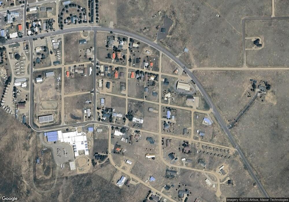
430 Gant Ave Eagle Nest, NM 87718
Estimated Value: $291,000 - $361,000
2
Beds
2
Baths
1,250
Sq Ft
$256/Sq Ft
Est. Value
About This Home
This home is located at 430 Gant Ave, Eagle Nest, NM 87718 and is currently estimated at $320,159, approximately $256 per square foot. 430 Gant Ave is a home located in Colfax County.
Ownership History
Date
Name
Owned For
Owner Type
Purchase Details
Closed on
Jun 23, 2015
Sold by
Winegeart Earl R and Fields Flotilla W
Bought by
Dawson Arden H and Dawson Patricia Sue
Current Estimated Value
Home Financials for this Owner
Home Financials are based on the most recent Mortgage that was taken out on this home.
Original Mortgage
$110,000
Outstanding Balance
$84,928
Interest Rate
3.9%
Mortgage Type
New Conventional
Estimated Equity
$235,231
Purchase Details
Closed on
Oct 5, 2012
Sold by
Stechel Barbara and Stechel Barbara
Bought by
Winegeart Earl R
Home Financials for this Owner
Home Financials are based on the most recent Mortgage that was taken out on this home.
Original Mortgage
$81,000
Interest Rate
6.5%
Mortgage Type
Construction
Create a Home Valuation Report for This Property
The Home Valuation Report is an in-depth analysis detailing your home's value as well as a comparison with similar homes in the area
Home Values in the Area
Average Home Value in this Area
Purchase History
| Date | Buyer | Sale Price | Title Company |
|---|---|---|---|
| Dawson Arden H | -- | None Available | |
| Winegeart Earl R | -- | None Available |
Source: Public Records
Mortgage History
| Date | Status | Borrower | Loan Amount |
|---|---|---|---|
| Open | Dawson Arden H | $110,000 | |
| Previous Owner | Winegeart Earl R | $81,000 |
Source: Public Records
Tax History Compared to Growth
Tax History
| Year | Tax Paid | Tax Assessment Tax Assessment Total Assessment is a certain percentage of the fair market value that is determined by local assessors to be the total taxable value of land and additions on the property. | Land | Improvement |
|---|---|---|---|---|
| 2024 | $1,100 | $50,243 | $5,417 | $44,826 |
| 2023 | $1,109 | $50,243 | $5,417 | $44,826 |
| 2022 | $1,102 | $50,243 | $5,417 | $44,826 |
| 2021 | $1,085 | $50,243 | $5,417 | $44,826 |
| 2020 | $1,171 | $50,243 | $5,417 | $44,826 |
| 2019 | $1,164 | $50,243 | $5,417 | $44,826 |
| 2018 | $1,059 | $50,243 | $5,417 | $44,826 |
| 2017 | $974 | $50,243 | $5,417 | $44,826 |
| 2015 | -- | $62,084 | $5,417 | $56,667 |
Source: Public Records
Map
Nearby Homes
- Lot 11 Green Mountain Trail
- 551 U S 64
- 27989 U S Highway 64
- 102 New Mexico 38
- 688 U S 64
- 250 New Mexico 127
- 720 Highway 64
- 52 Shore St
- 14 Pine St
- 34 Soaring Eagle Dr
- 17 Valley View Ln
- 65 Road 12
- 33 Soaring Eagle Dr
- 20 Road 13
- 14 Road 13
- 28289 U S Highway 64
- 74 Road 9
- Lot 1 Block 1
- 26 Windy Hill Rd
- 99 Squash Blossom Ln
- 125 3rd St
- Lot 8 Green Mountain Trail
- 11 S 3rd St
- 260 3rd St
- Lot 7 8 9 10 12 Gant Ave
- Lots 10 & 11 Green Mountain Trail
- 10 Gant Ave
- 0 Green Mountain Trail
- 495 4th St
- 115 3rd St
- 426 E Lake Ave
- 441 E Neal Ave
- TBd Lots 7 & 8
- 392 Lake Ave
- Lot 7 Neal Ave
- lot 3 Green Mountain Trail
- TBD Green Mountain Trail
- 0 S 3rd St
- 571 S 4th St
- 457 Neal Ave
